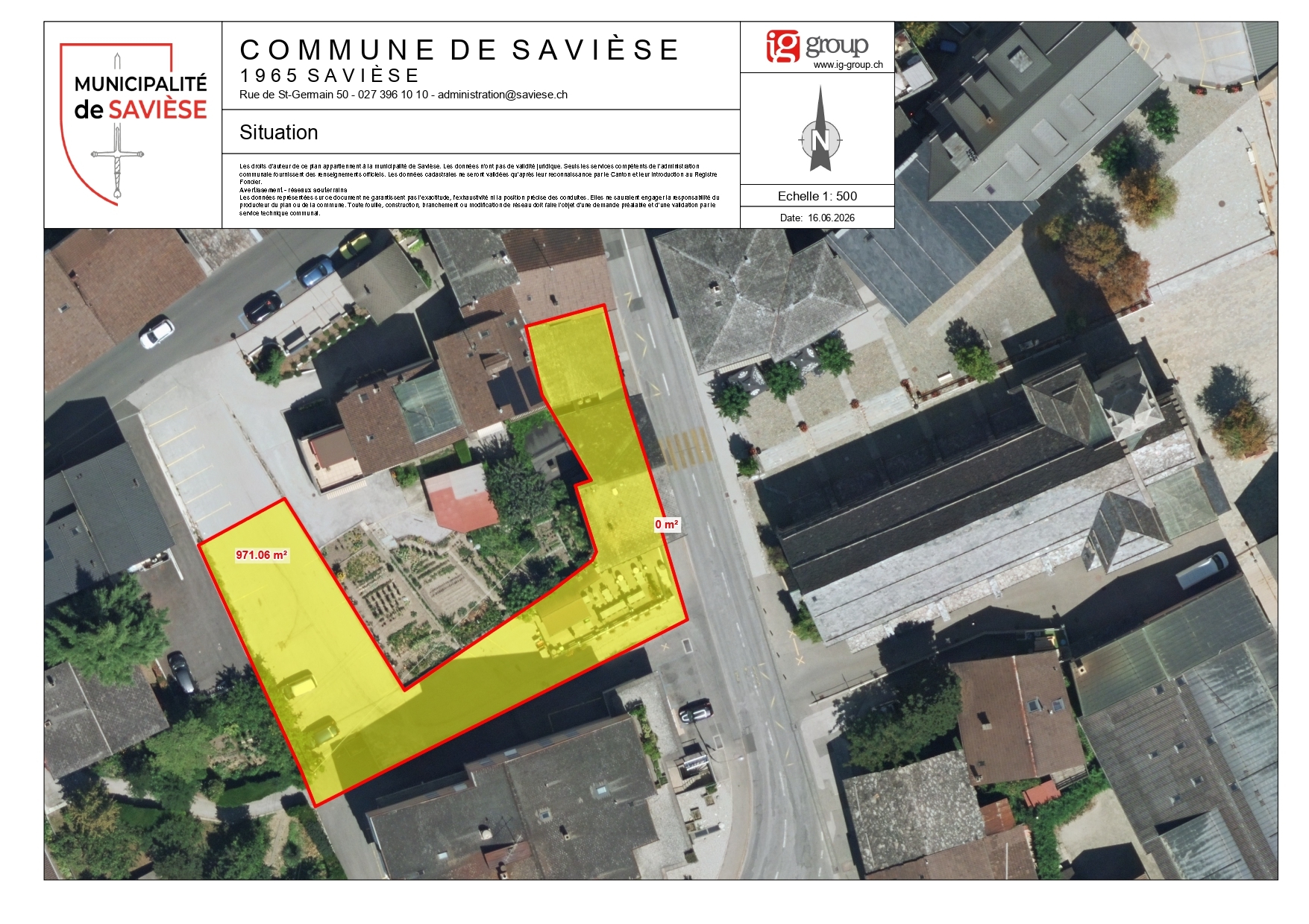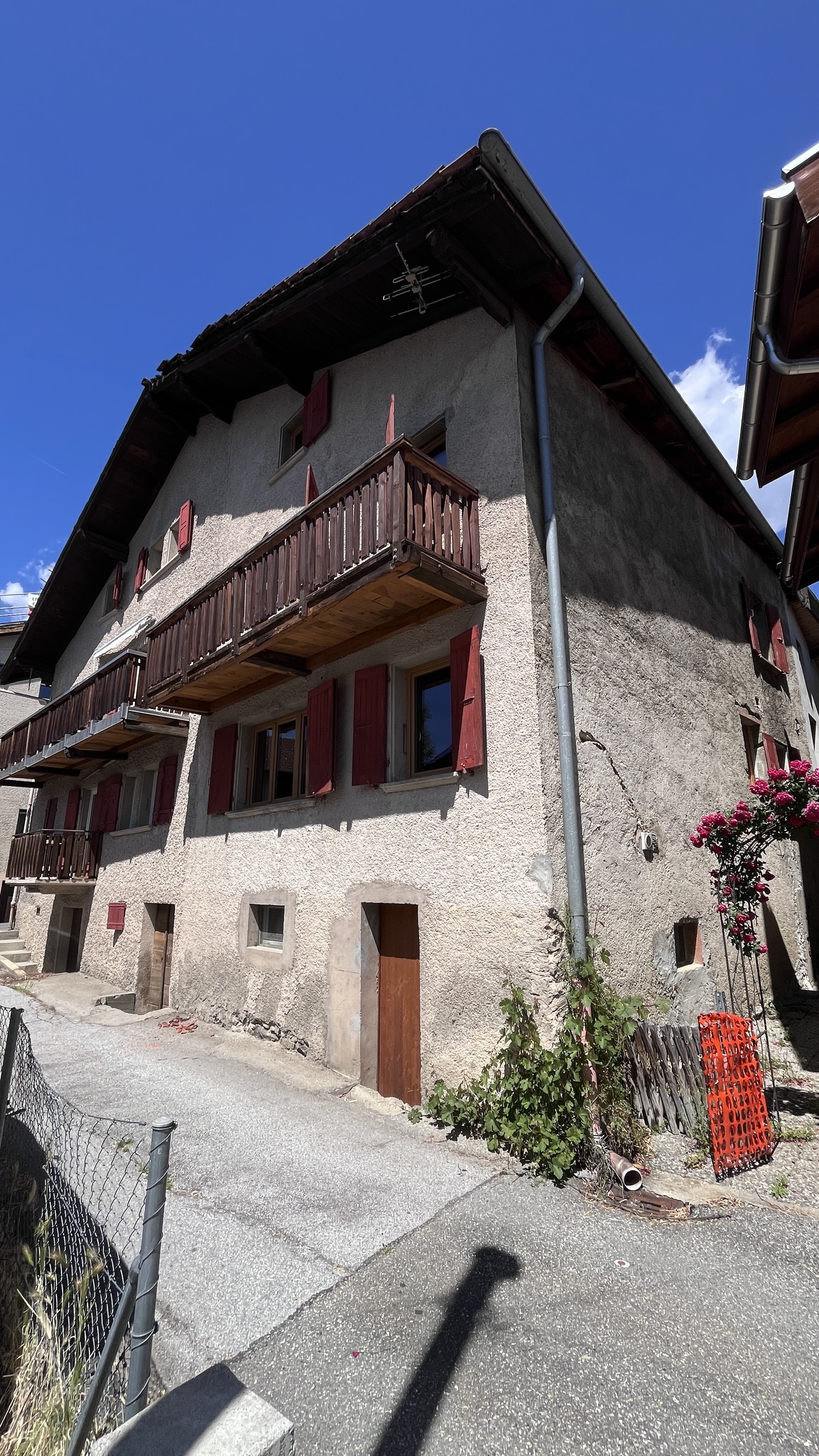
Building lot on sale in Savièse - Ref ter22
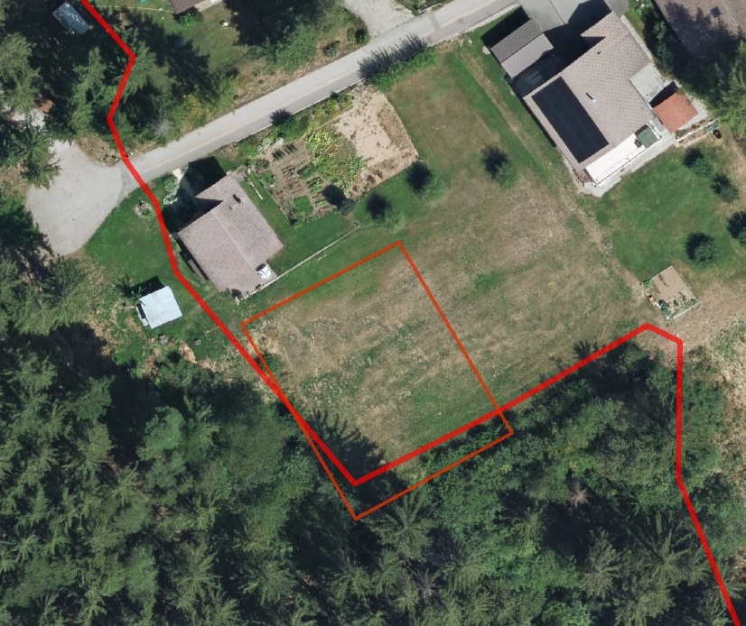
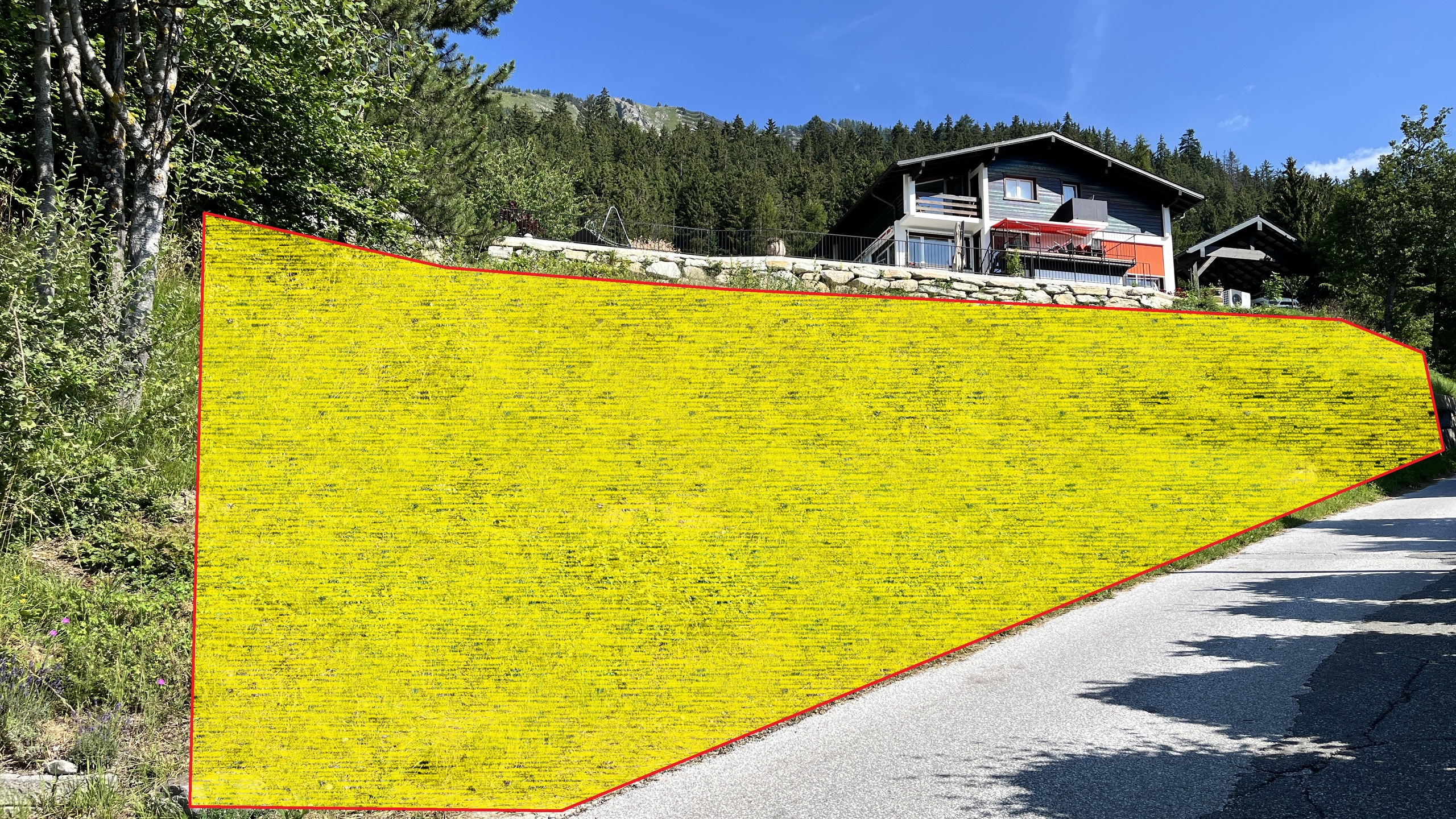
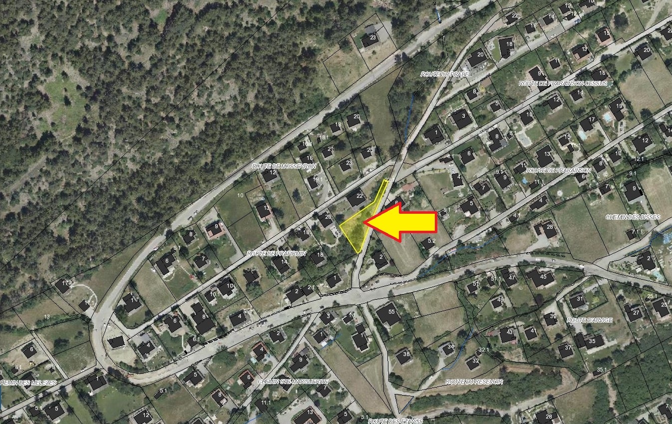
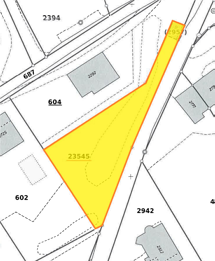
Land of 650 m²
Ground surface650 m²
Object PriceCHF 240.-/sqm
Price/sqmCHF 240.-
Localisation
1965 SavièseCharacteristics
Reference
ter22
Availability
Immediate
Second home
Authorized
Sale to persons abroad authorized
Yes
Plot
1
Altitude
1,150 m
Ratio
0.2
Ground surface
650 m²
Description
Text translated from french, see original
Original text in french, translate to English.
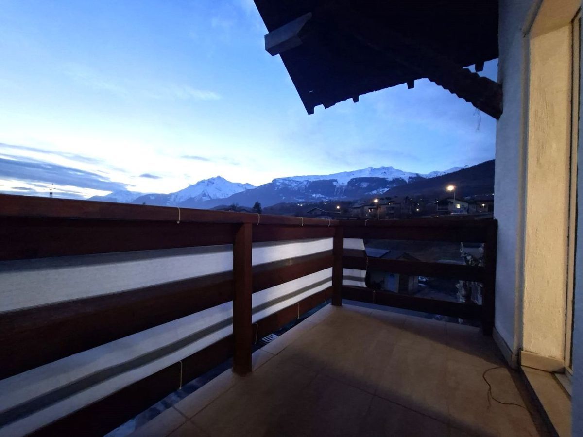
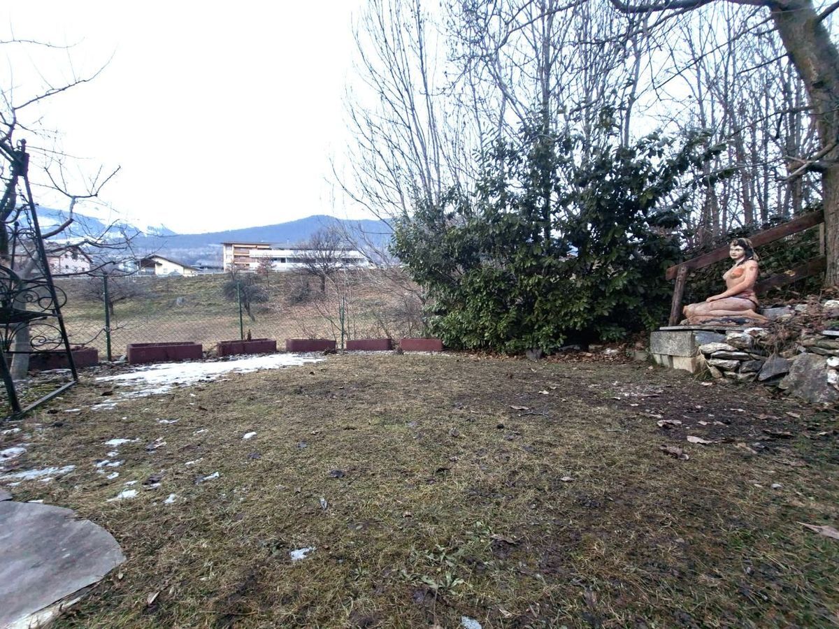
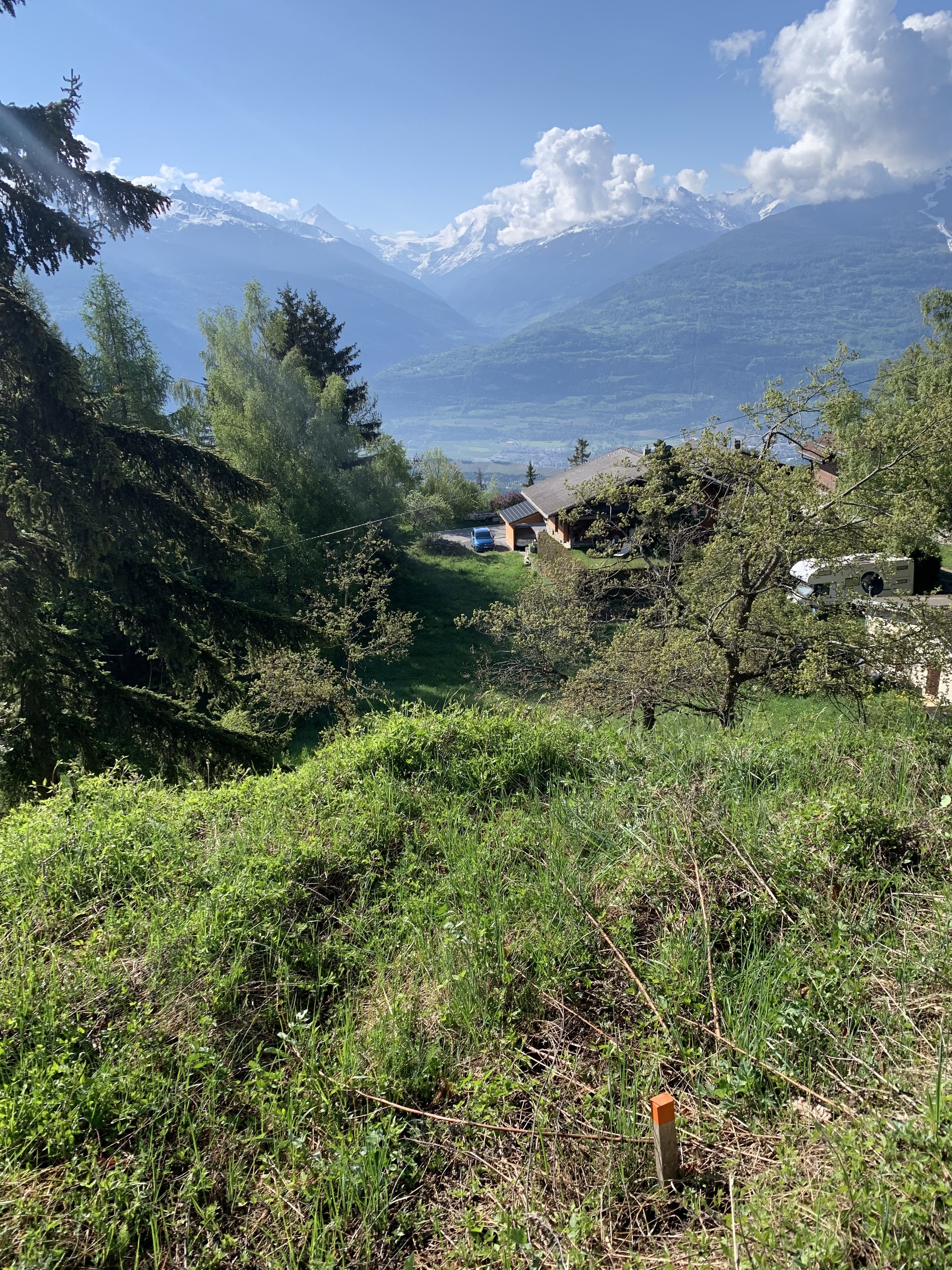
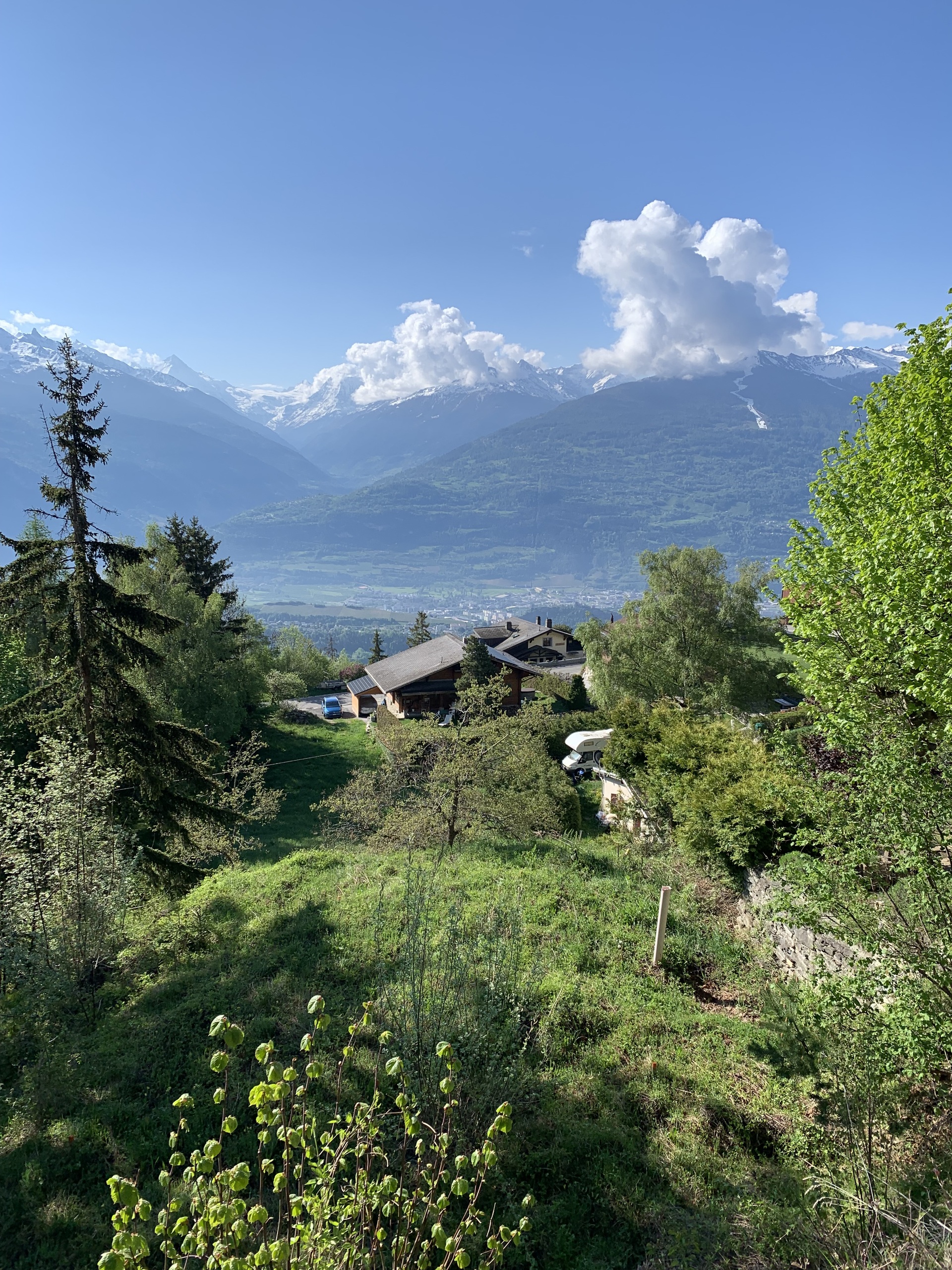
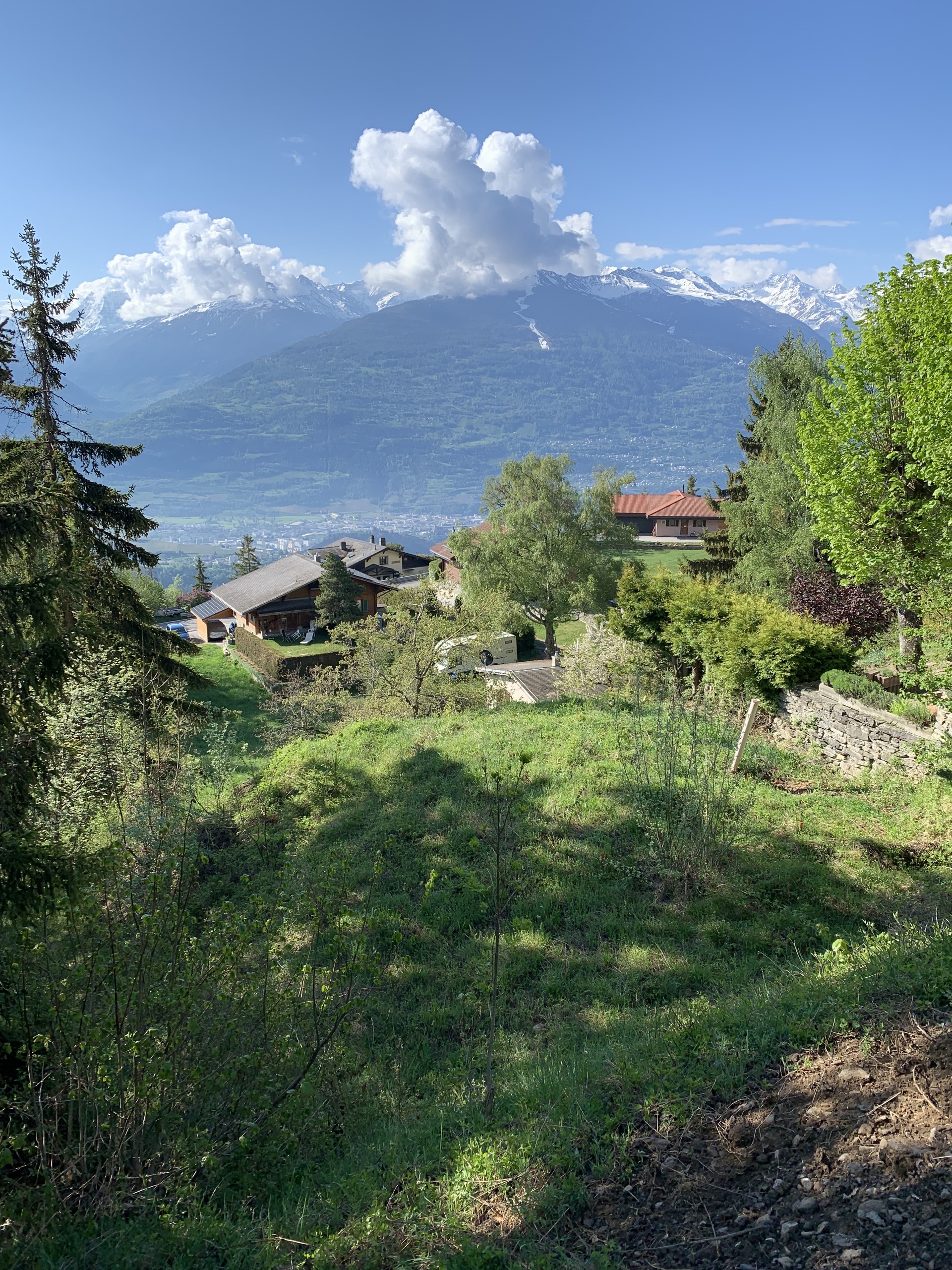
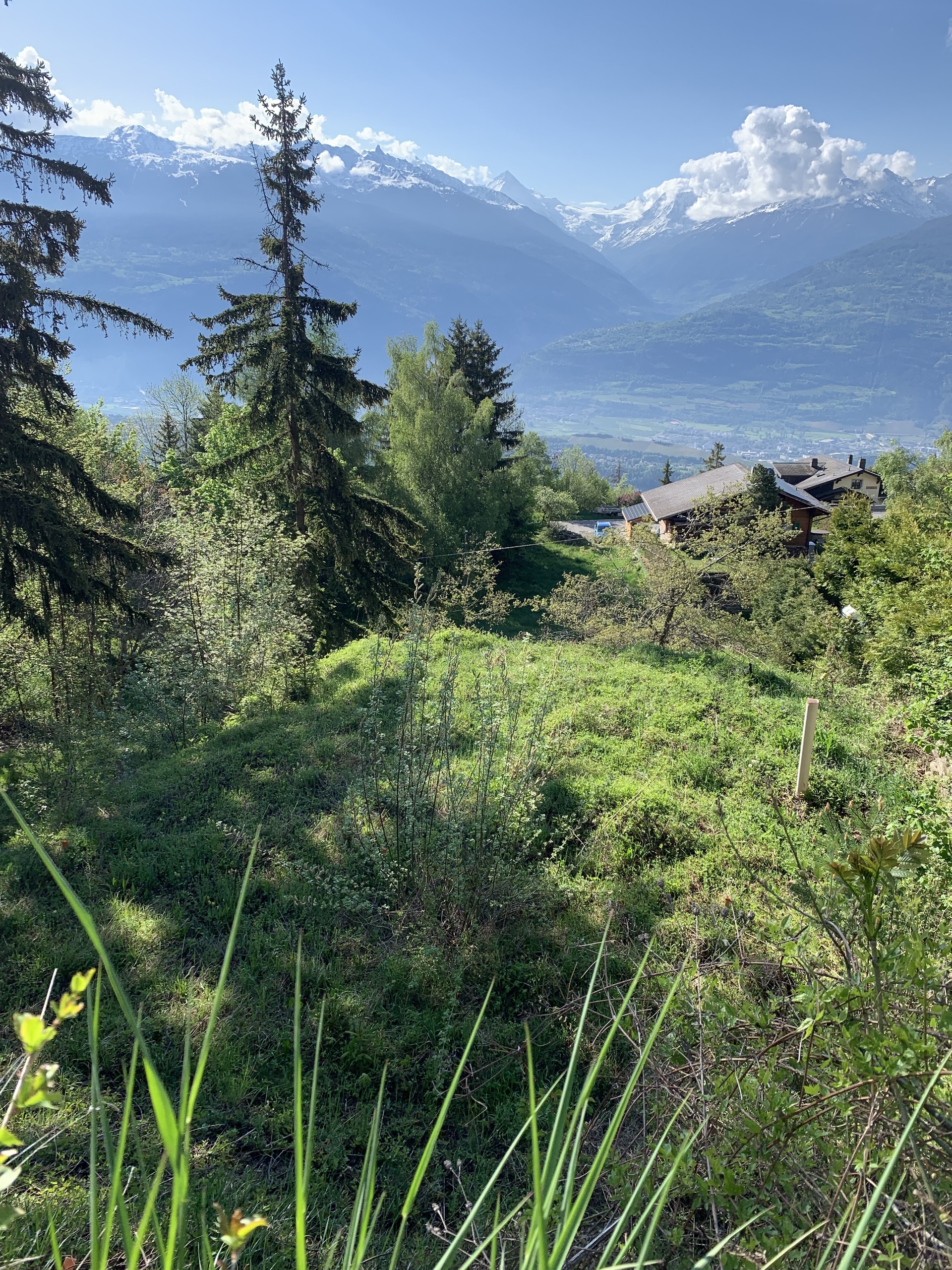
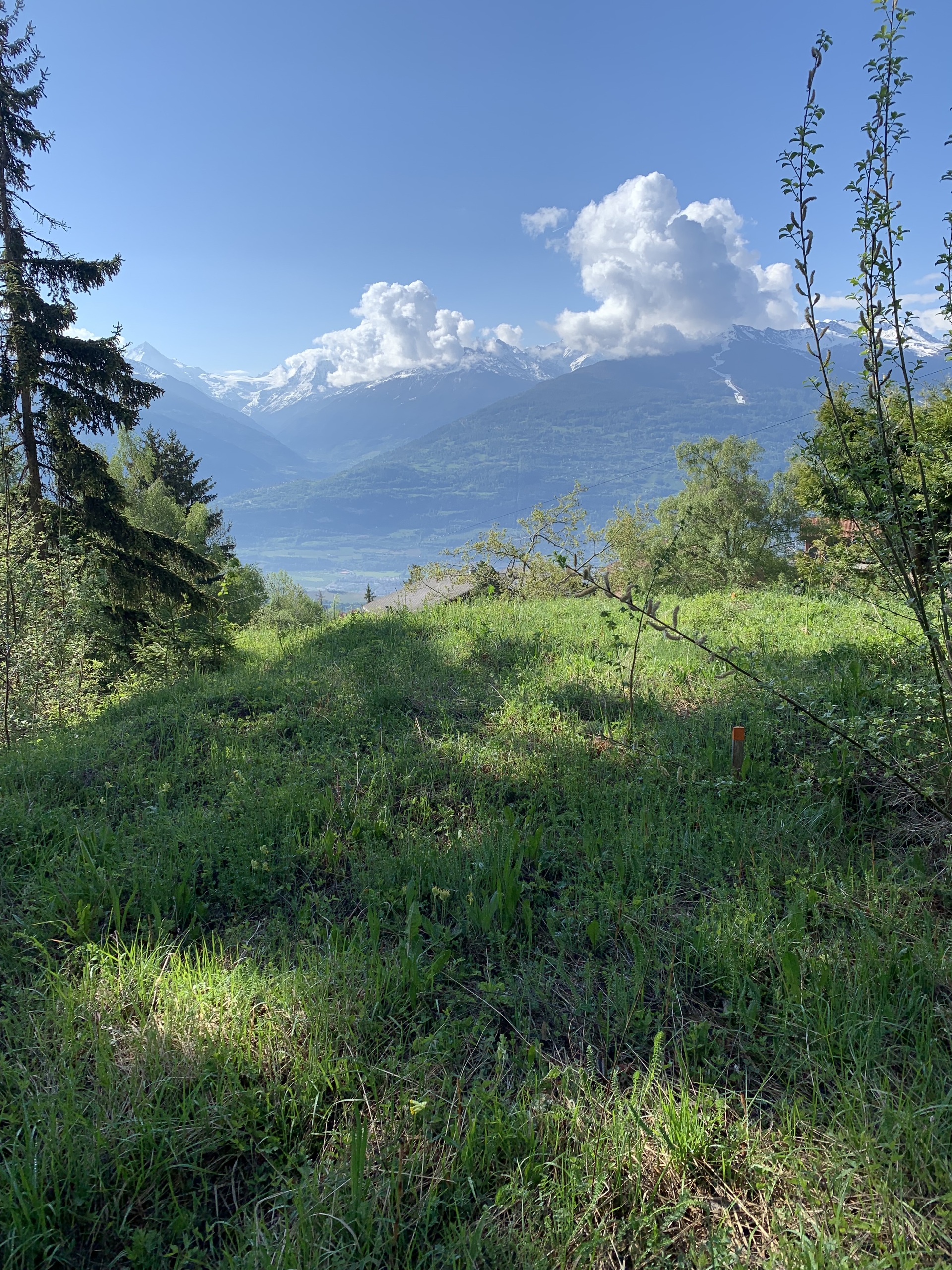
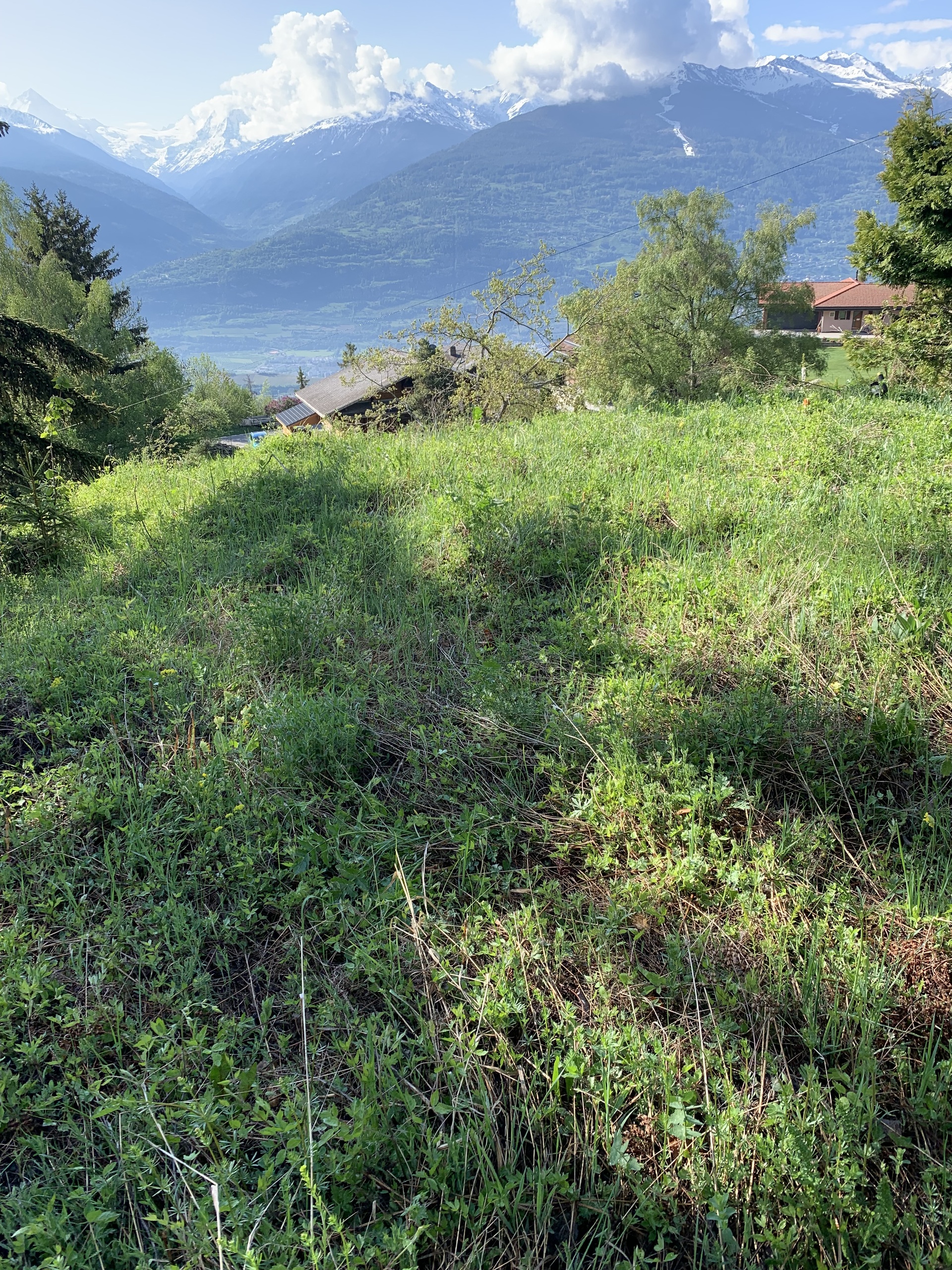
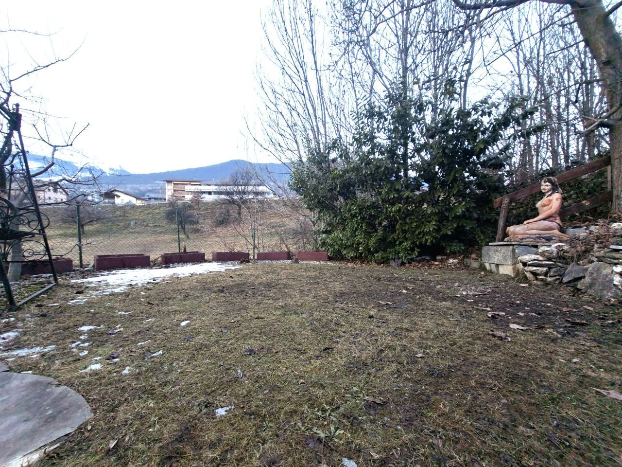
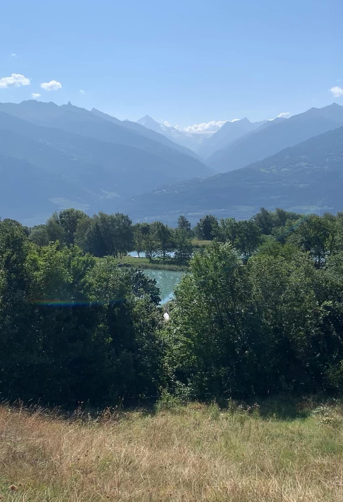
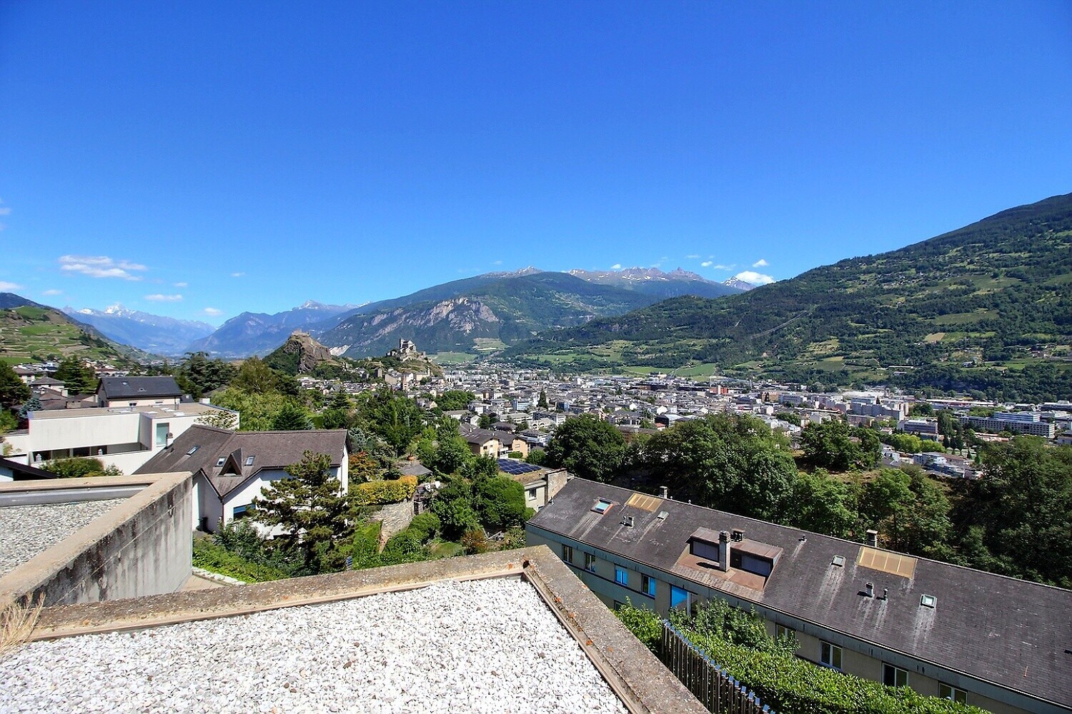
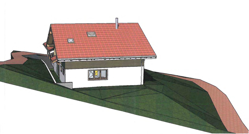
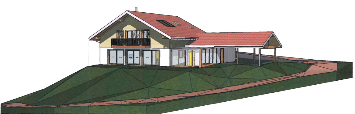
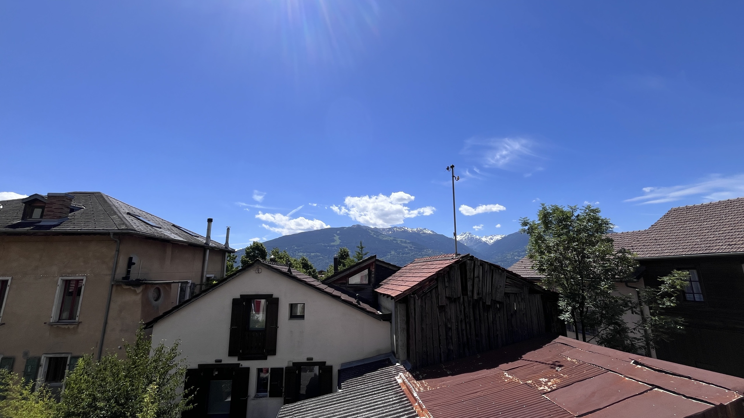
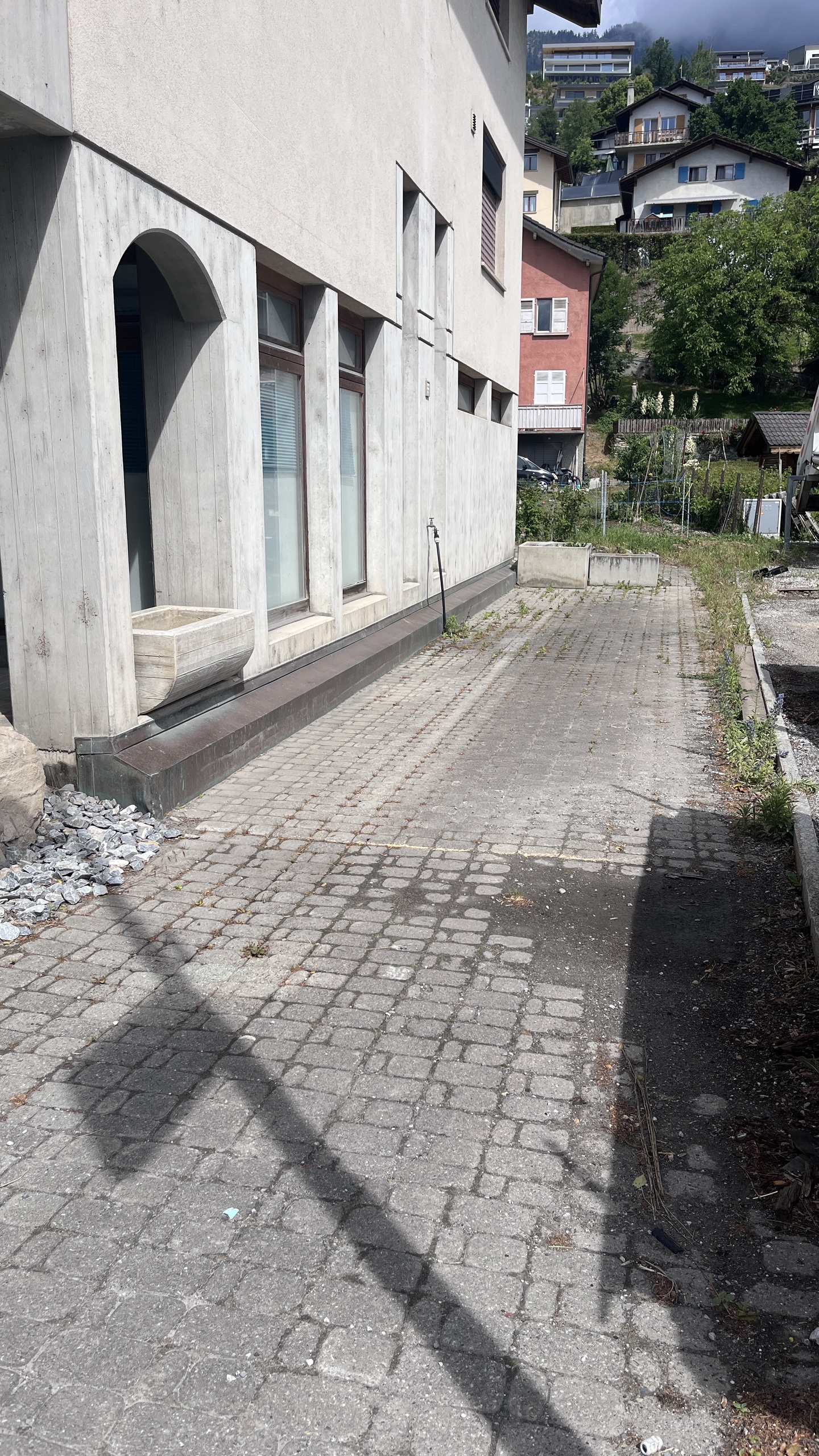
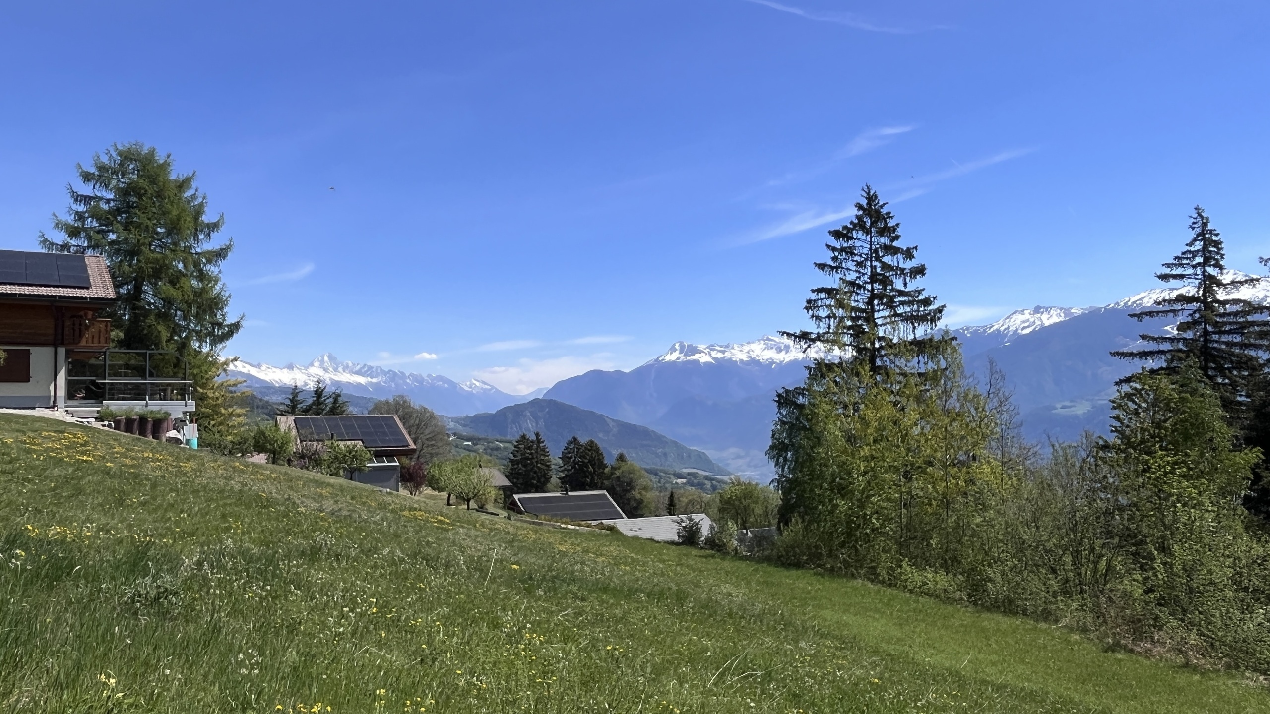
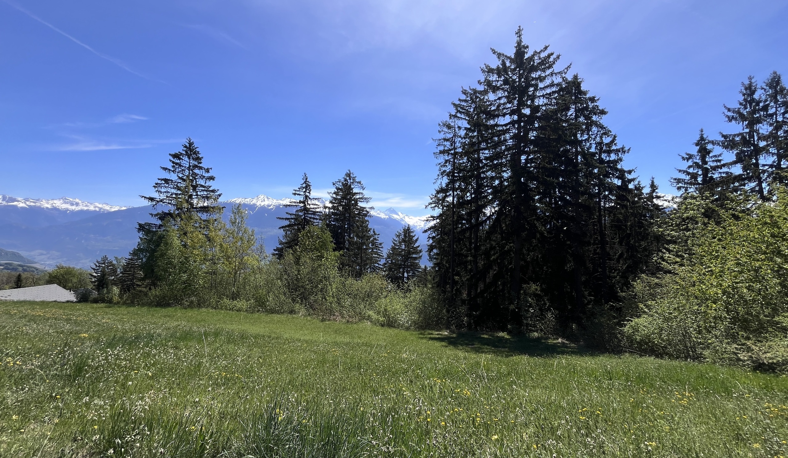
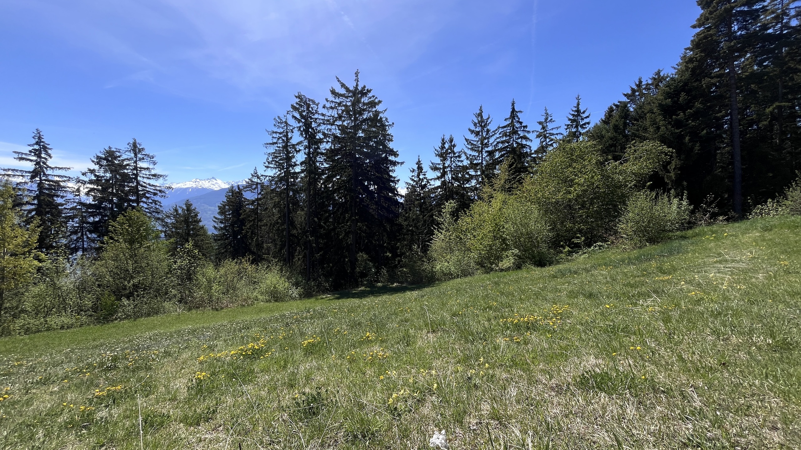
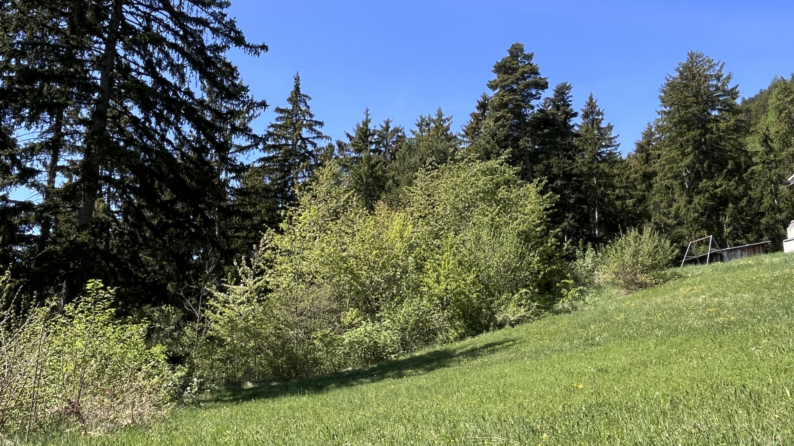
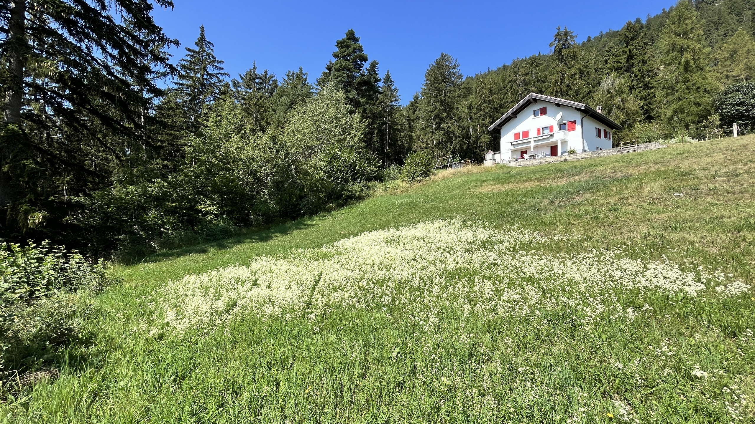
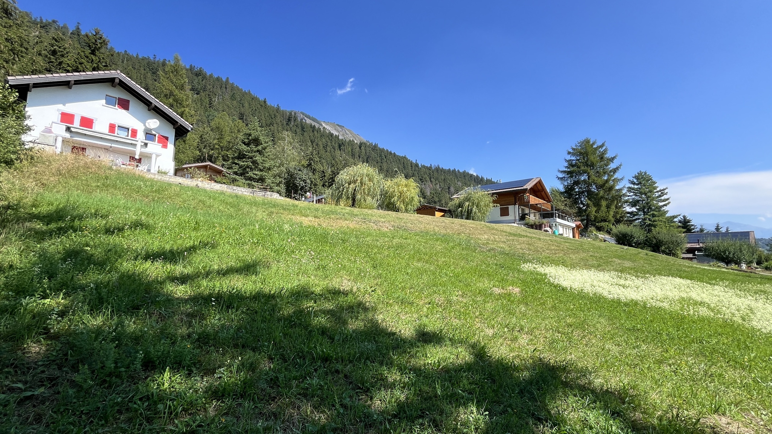
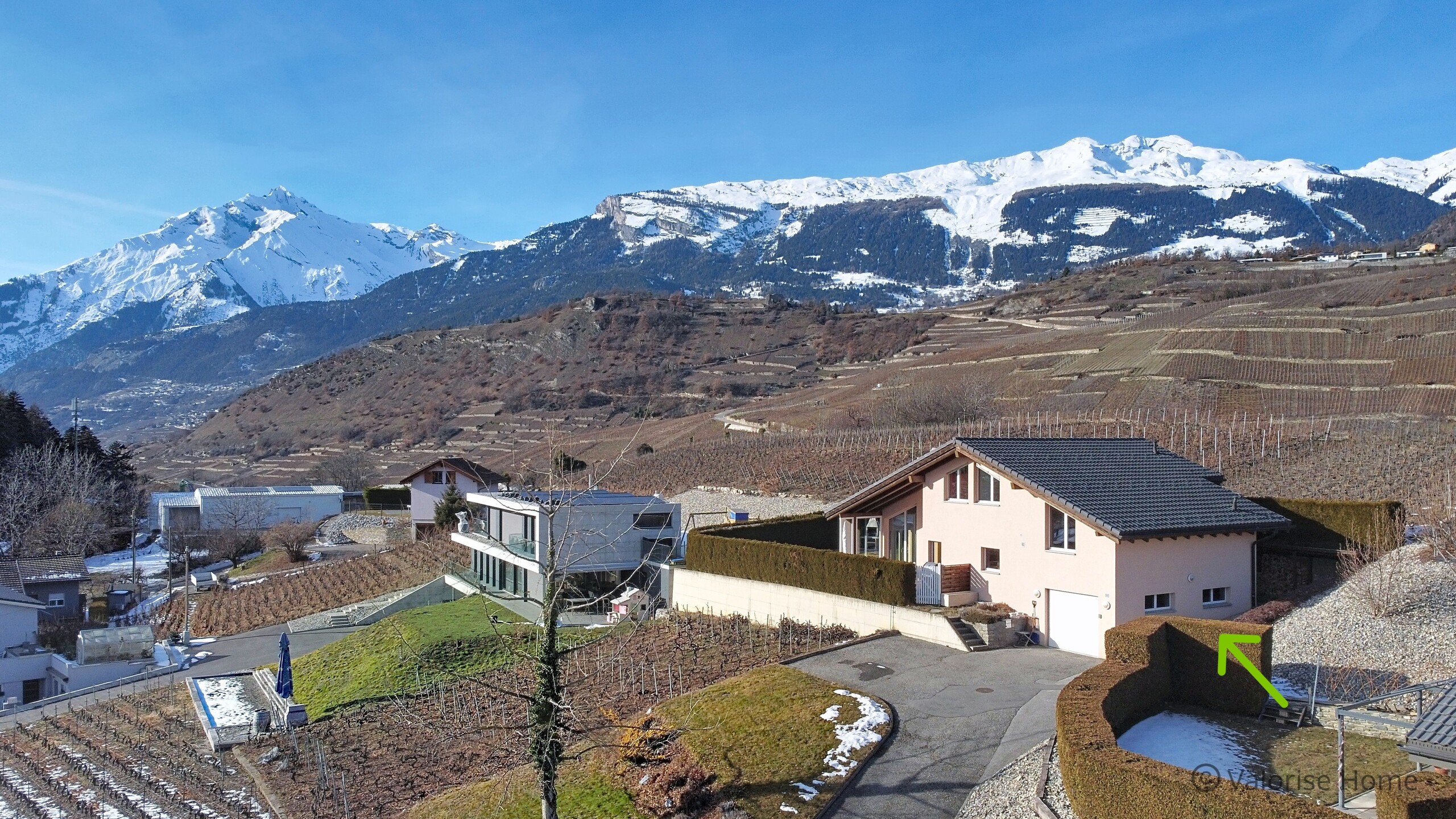
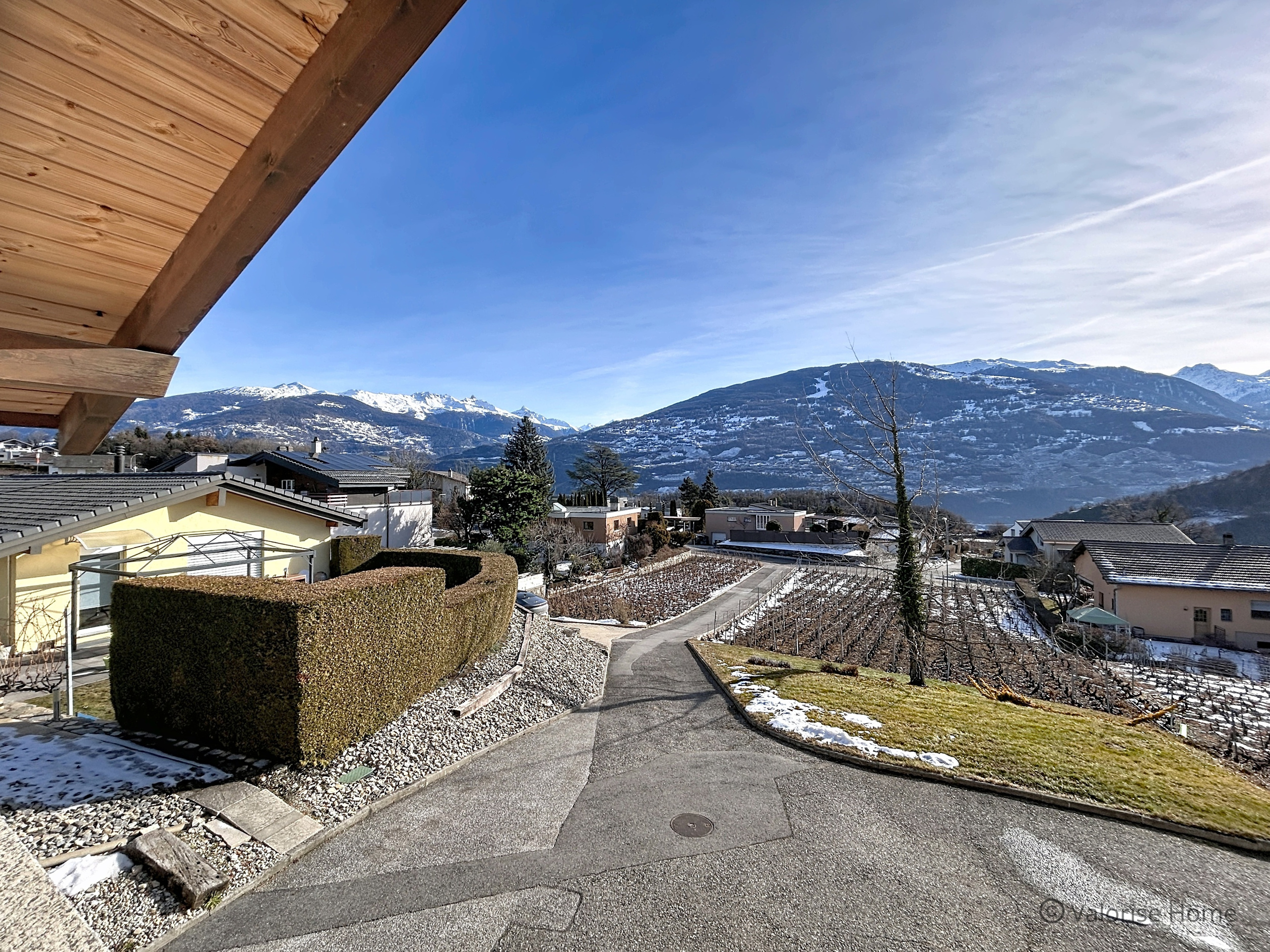
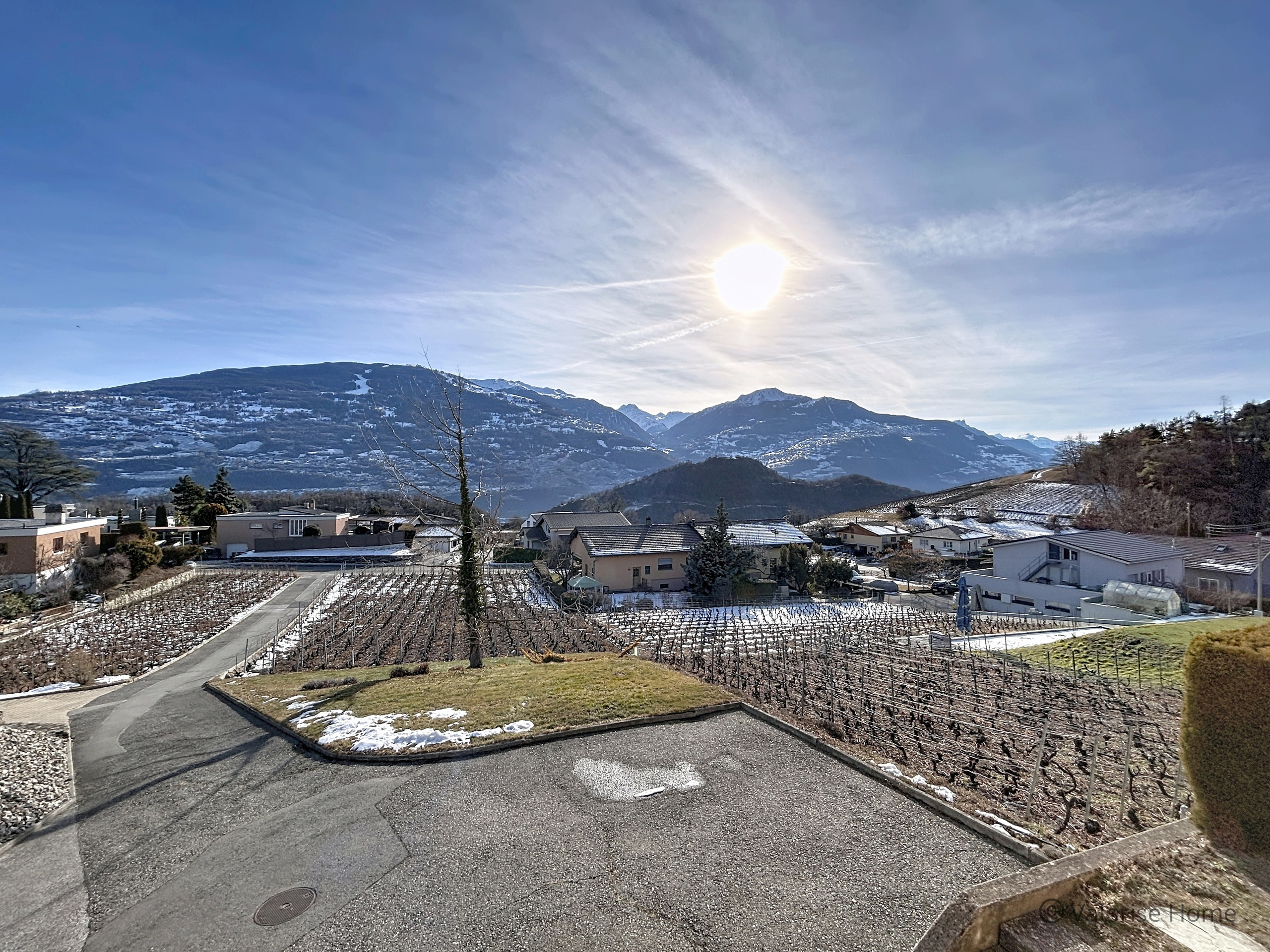
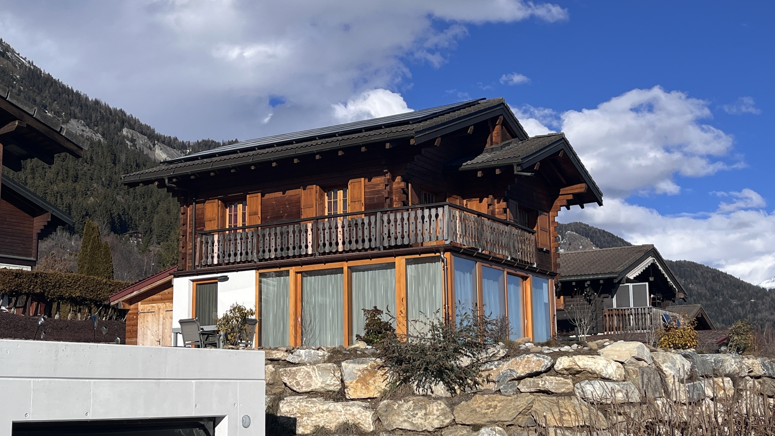
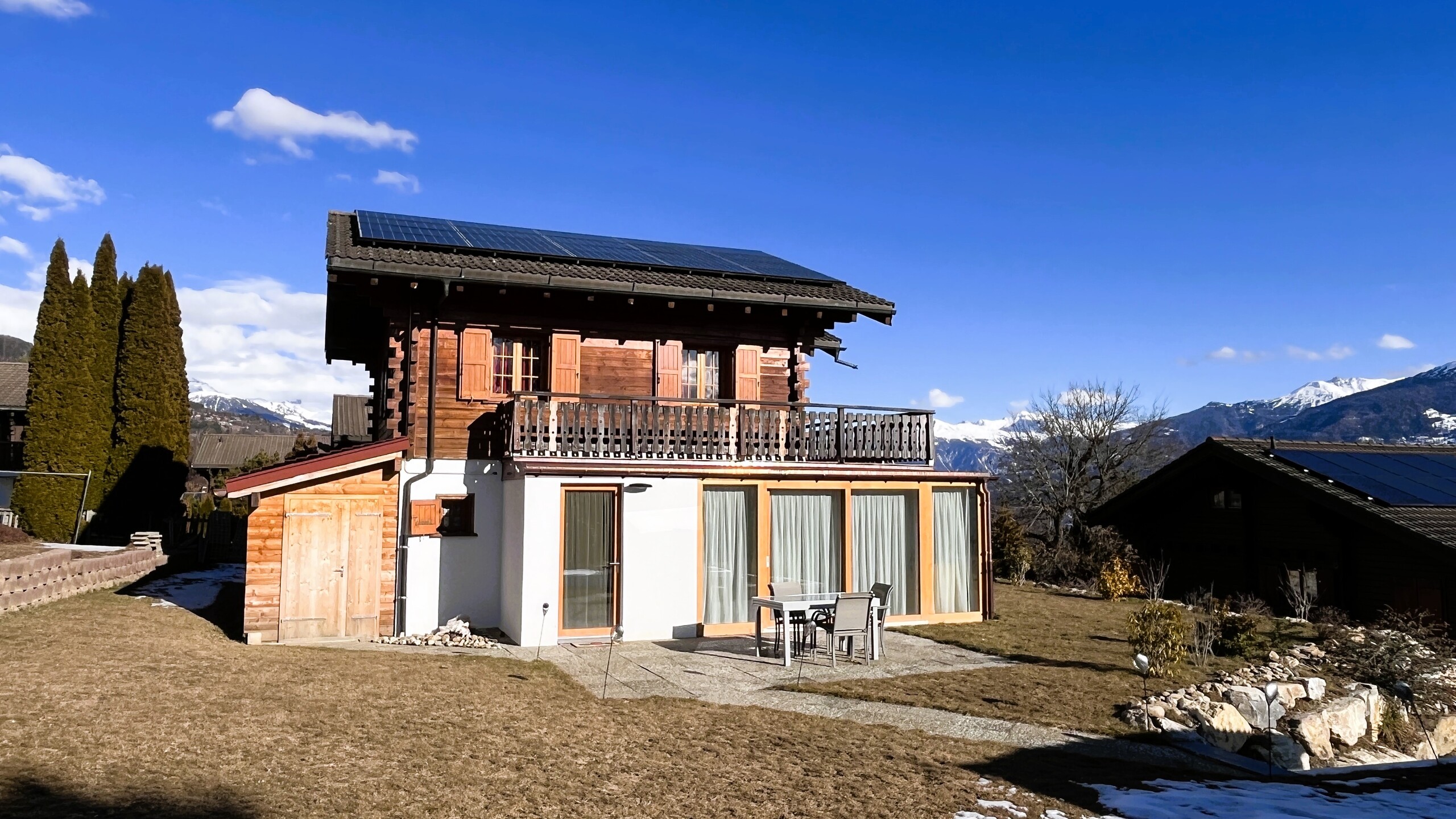
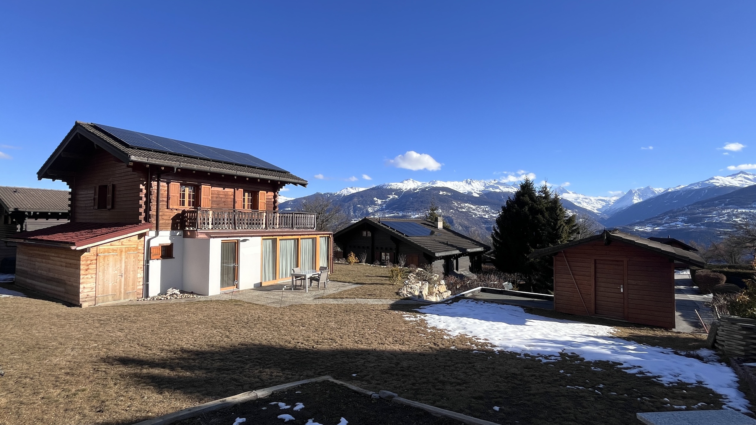
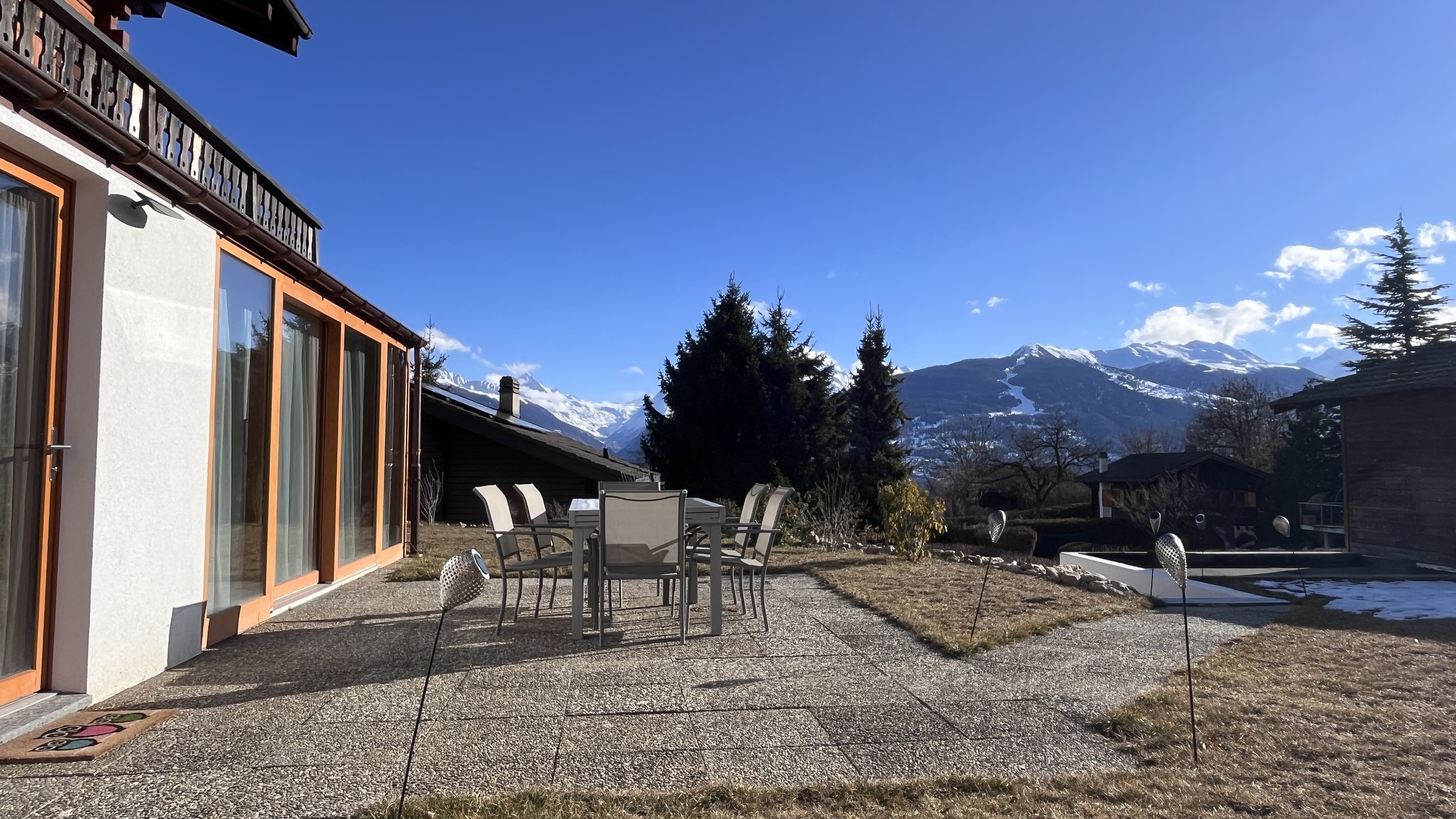
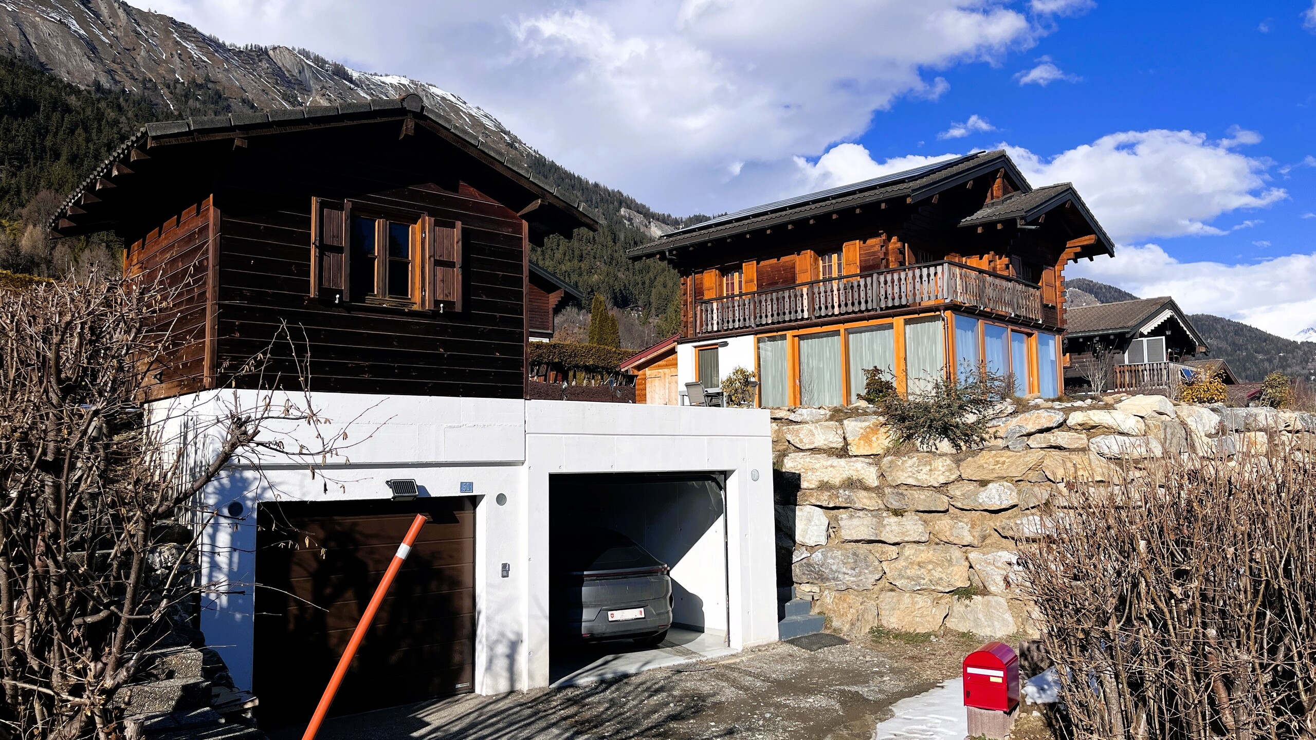
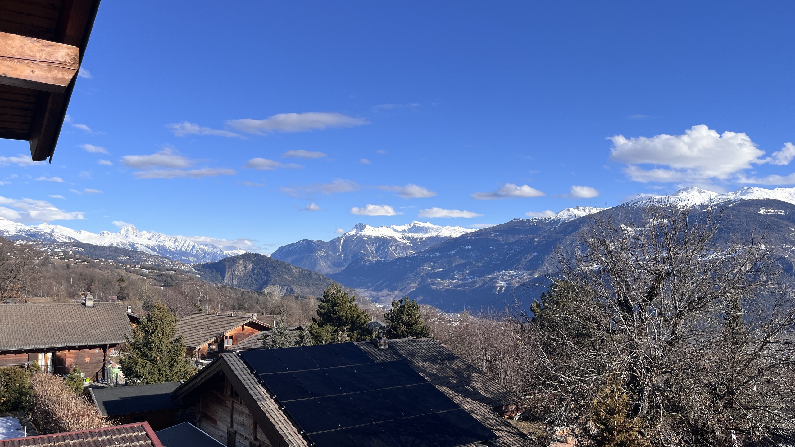
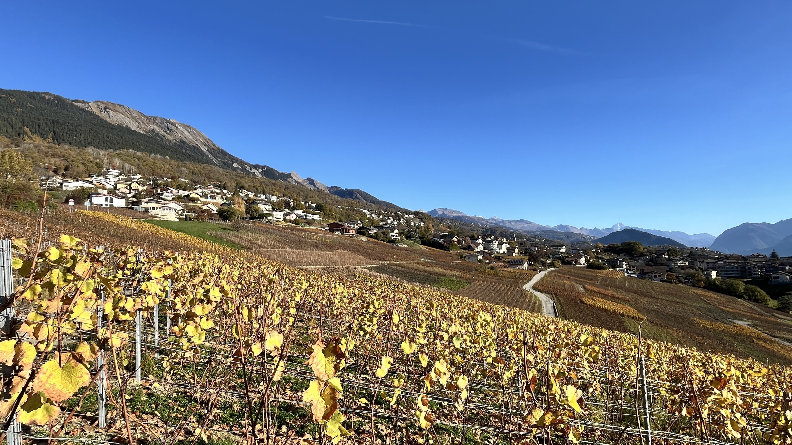
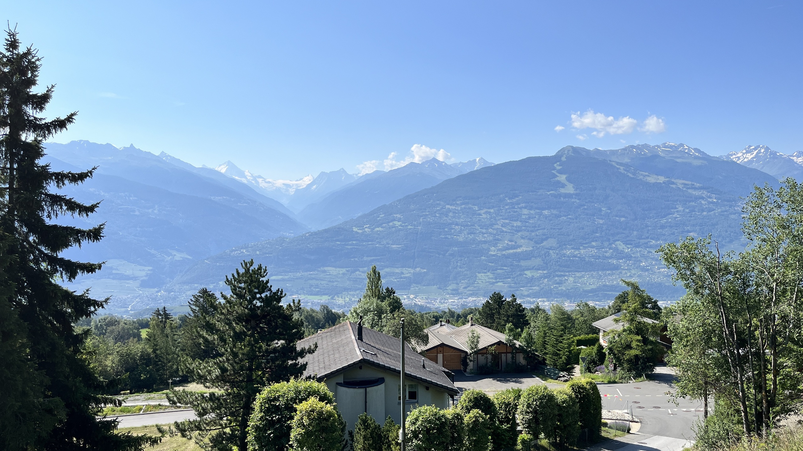
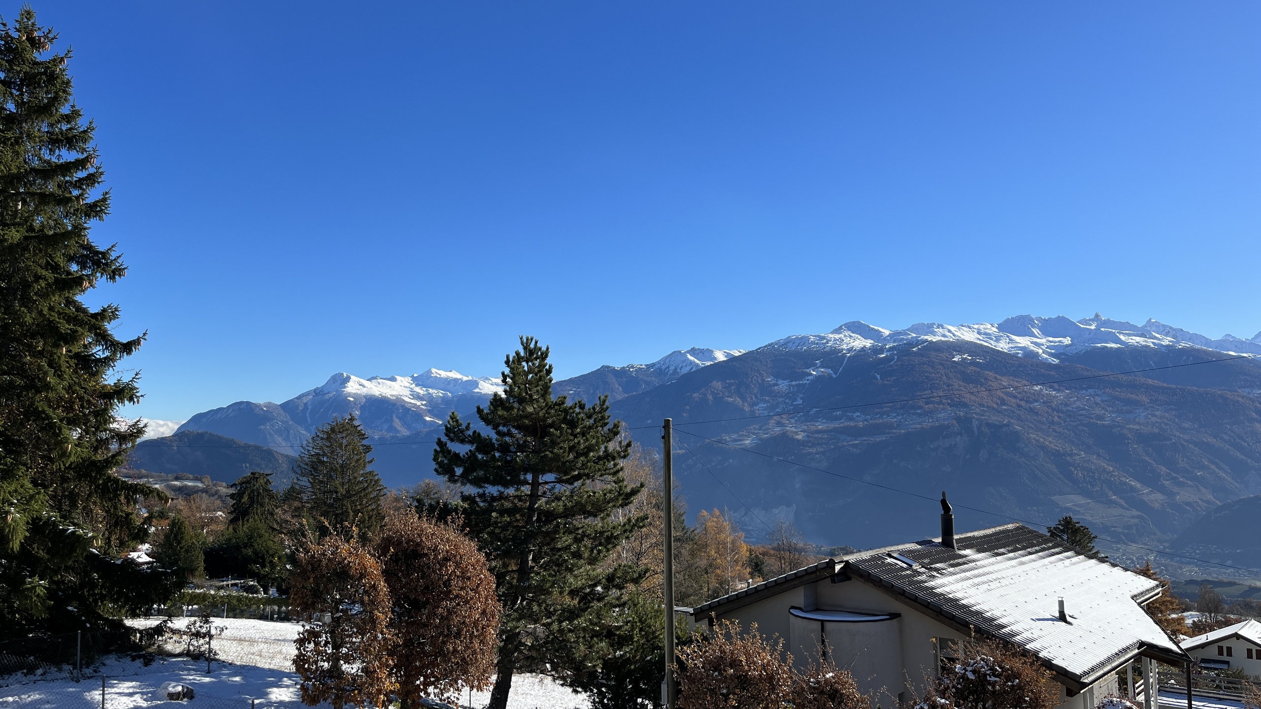
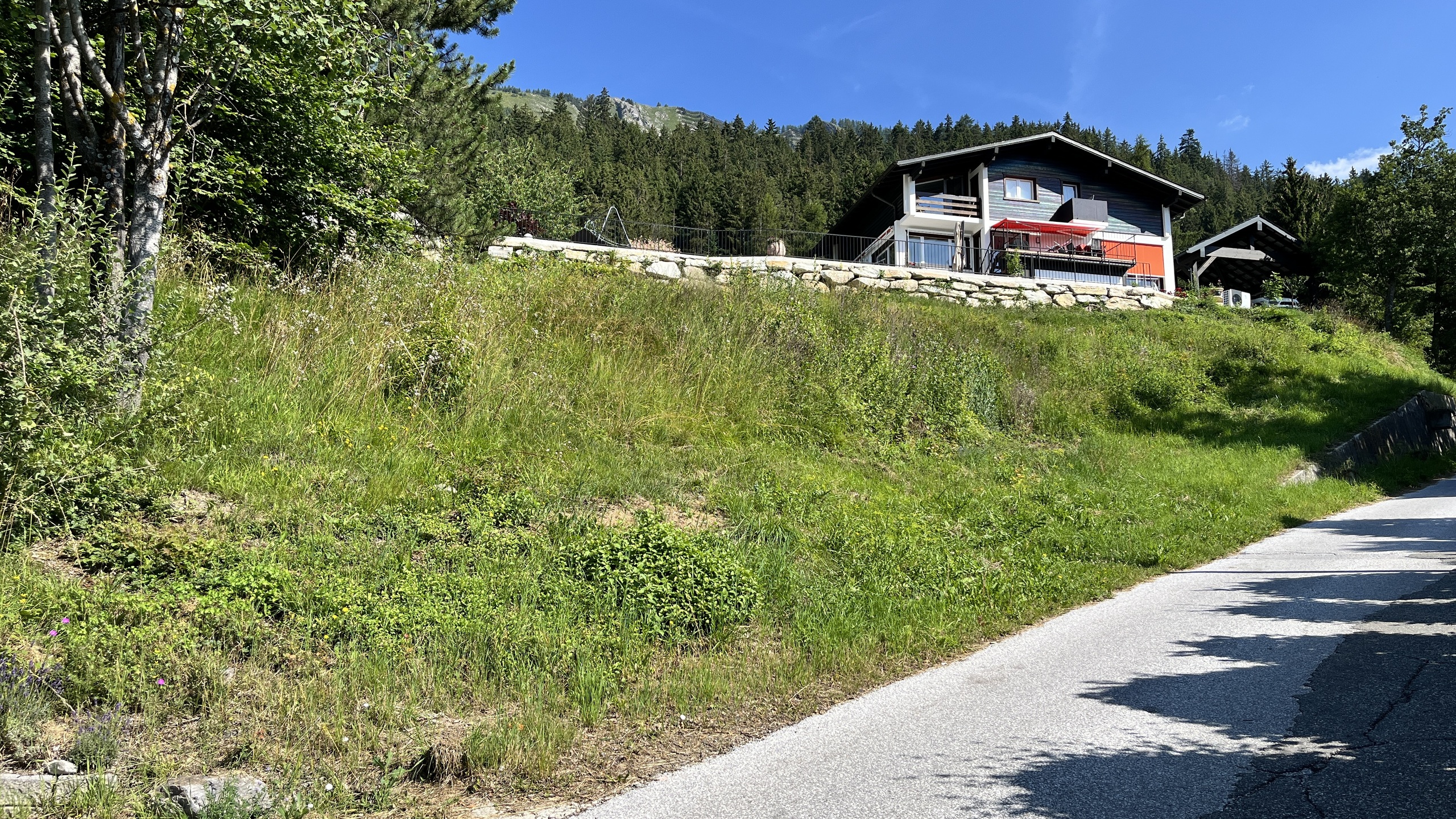
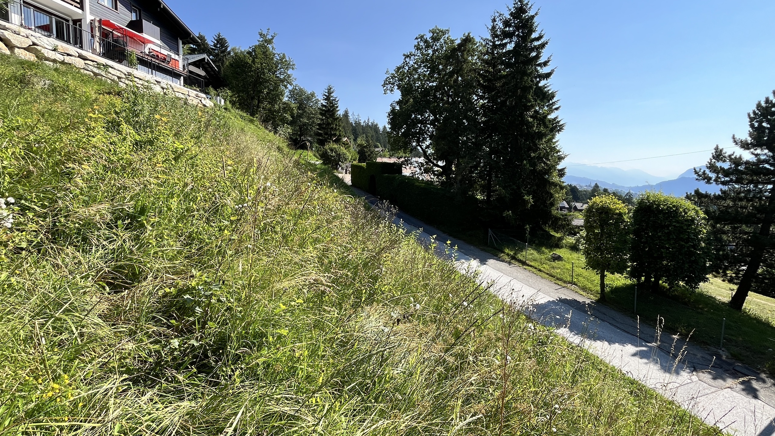
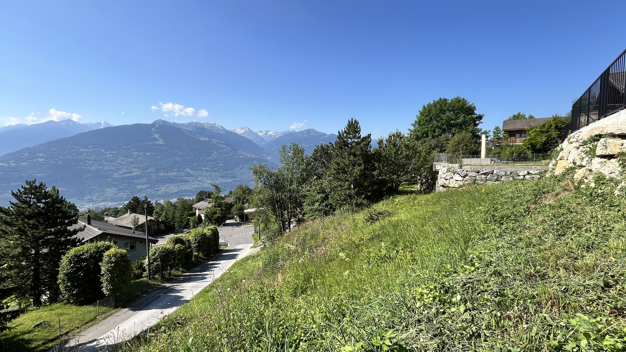
650 m² plot available for the construction of a chalet in the tourist area of Binii
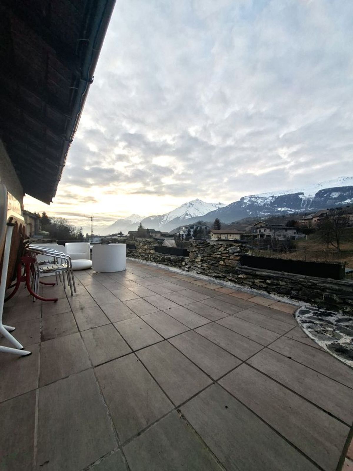
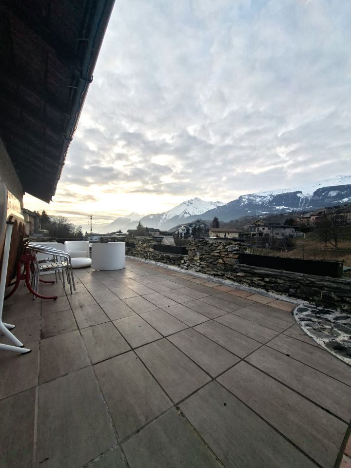
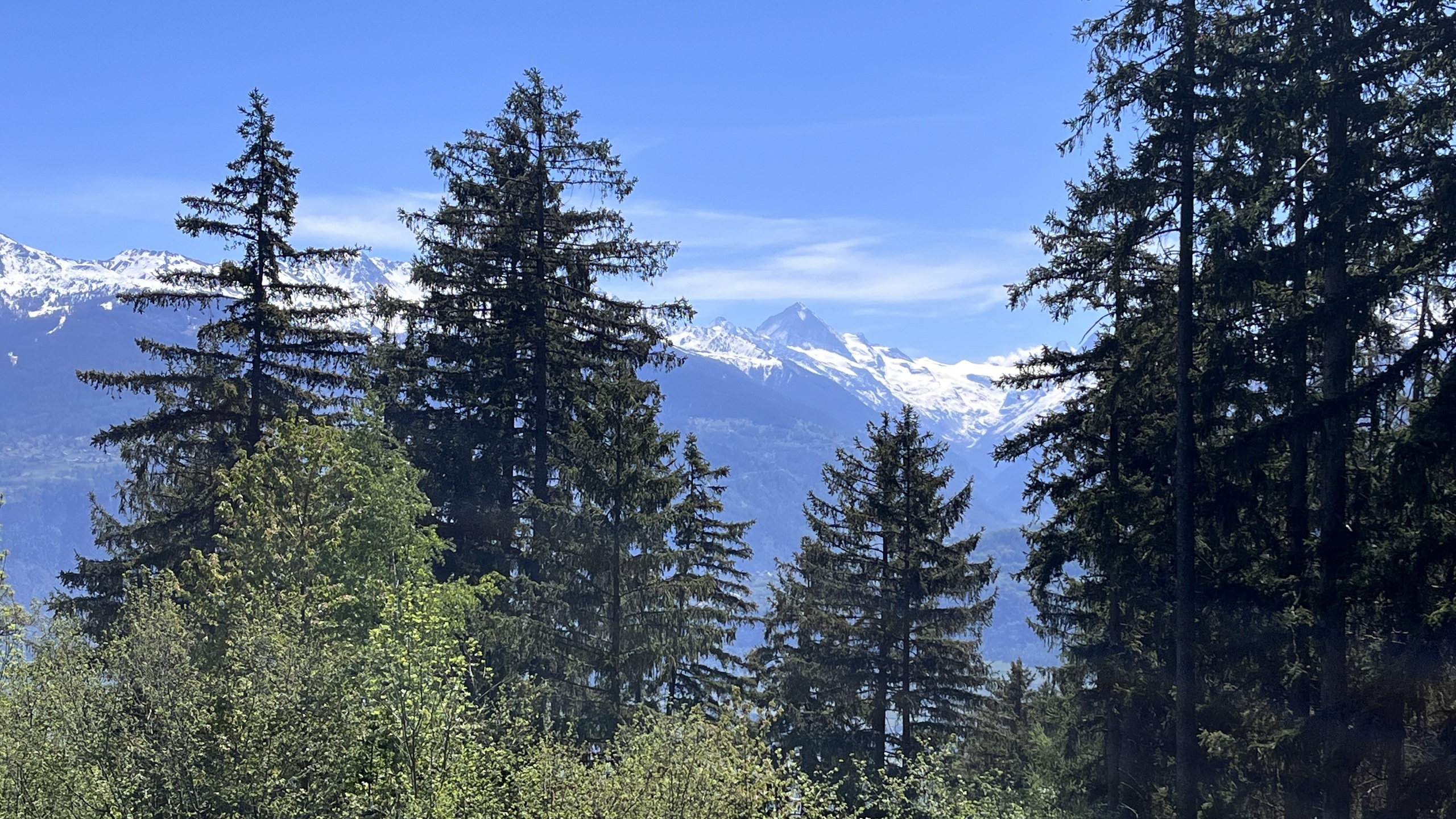
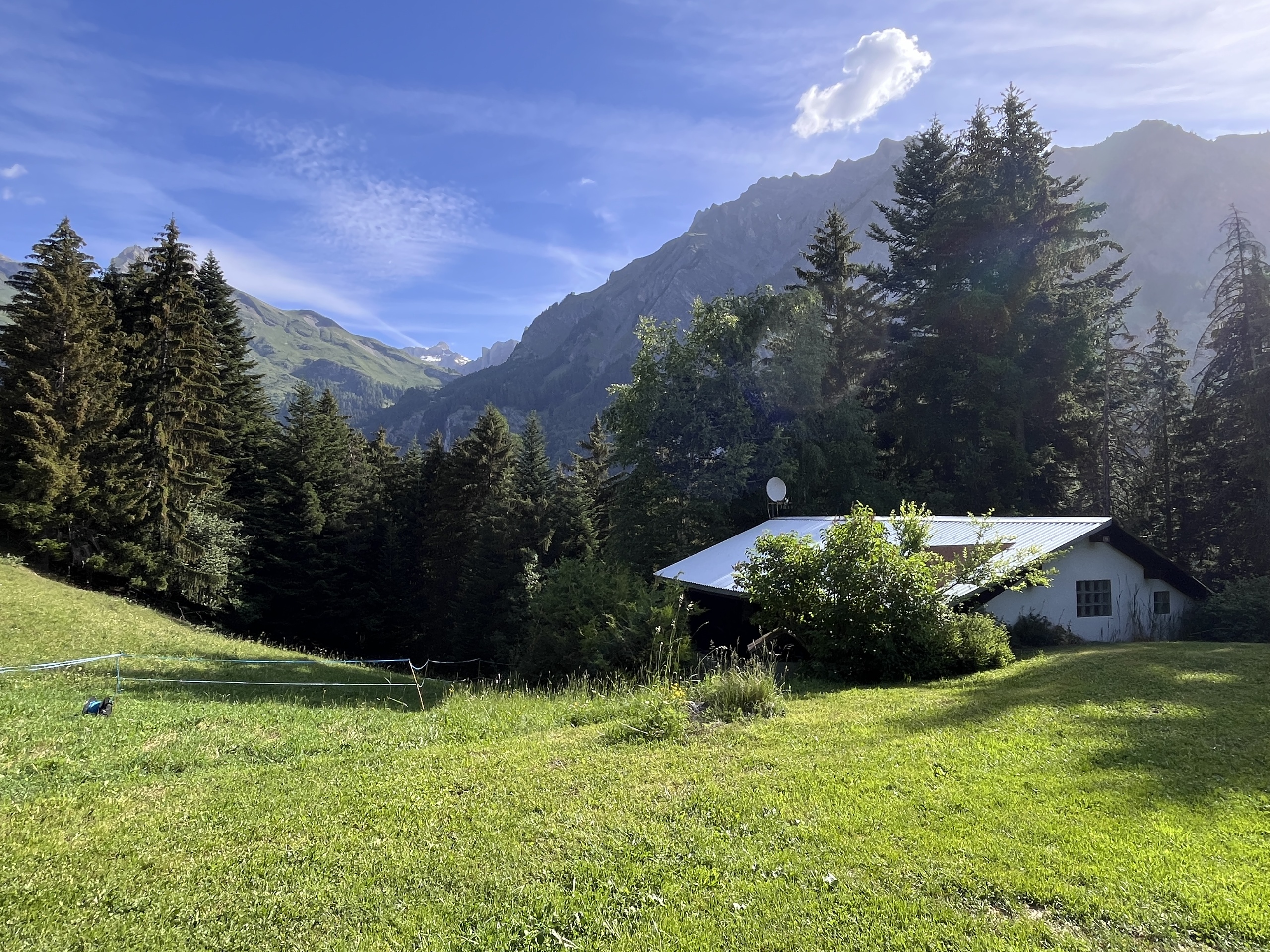
This plot, ideally located upstream of a communal road, offers a breathtaking panoramic view of the Hérens Valley and its imposing peaks over 4,000 meters high.
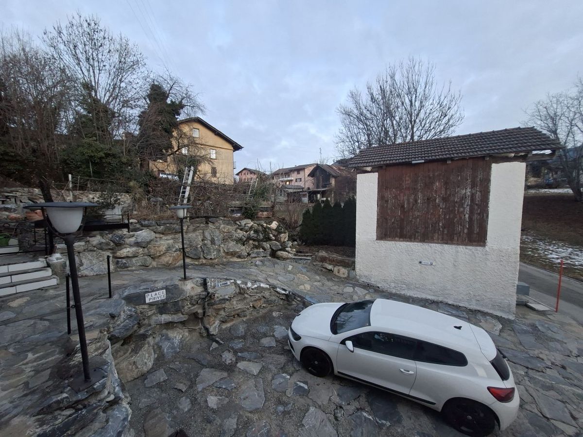
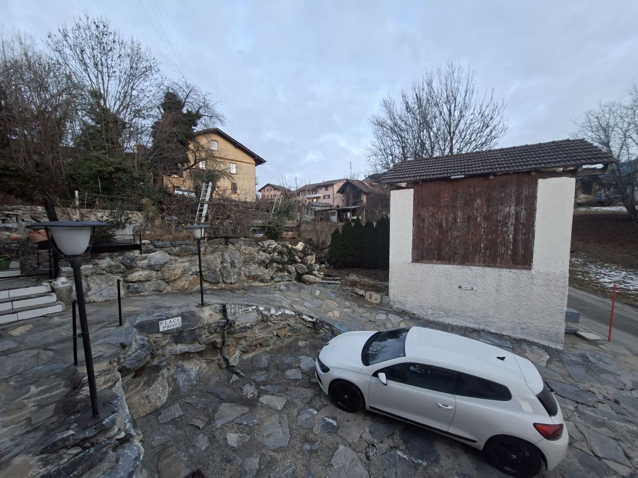
It is easily accessible, just a few meters from the public transport stop.
Authorization for a secondary residence:
Since the municipality of Savièse has less than 20% secondary residences, this plot is not subject to the Lex Weber. As a result, it allows the construction of both a holiday chalet and a main residence.
Technical characteristics of the plot:
Basic use index: 0.2 in IUS or 0.5 in IBUS
Maximum total height allowed: 8.50 meters
Deadline for submitting a purchase offer: 15 February 2024. We invite you to send us your proposal before this date.
This plot, ideally located upstream of a communal road, offers a breathtaking panoramic view of the Hérens Valley and its imposing peaks over 4,000 meters high.
It is easily accessible, just a few meters from the public transport stop.
Authorization for a secondary residence:
Since the municipality of Savièse has less than 20% secondary residences, this plot is not subject to the Lex Weber. As a result, it allows the construction of both a holiday chalet and a main residence.
Technical characteristics of the plot:
Basic use index: 0.2 in IUS or 0.5 in IBUS
Maximum total height allowed: 8.50 meters
Deadline for submitting a purchase offer: 15 February 2024. We invite you to send us your proposal before this date.
Conveniences
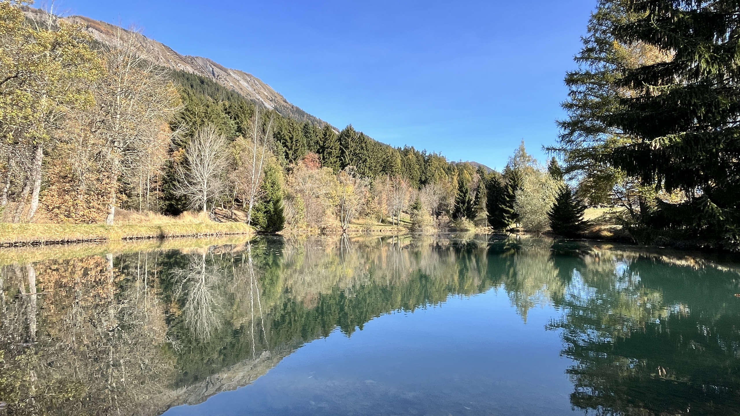
Neighbourhood
- Green
- Mountains
- Bus stop
- Hiking trails
Outside conveniences
- Quiet
- Greenery
Exposure
- Optimal
- All day
View
- Nice view
- Clear
- Panoramic
- Mountains
- Alps
Distances
Station
10.1 km
Public transports
80 m
Freeway
11.8 km
Nursery school
4.9 km
Primary school
4.5 km
Secondary school
4.5 km
Stores
4.55 km
Cable car
14.4 km
Airport
11.6 km
Post office
4.3 km
Bank
4.32 km