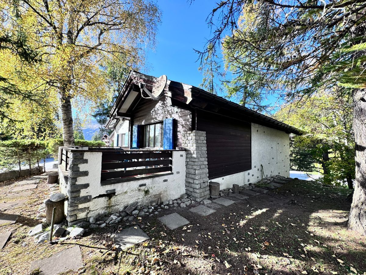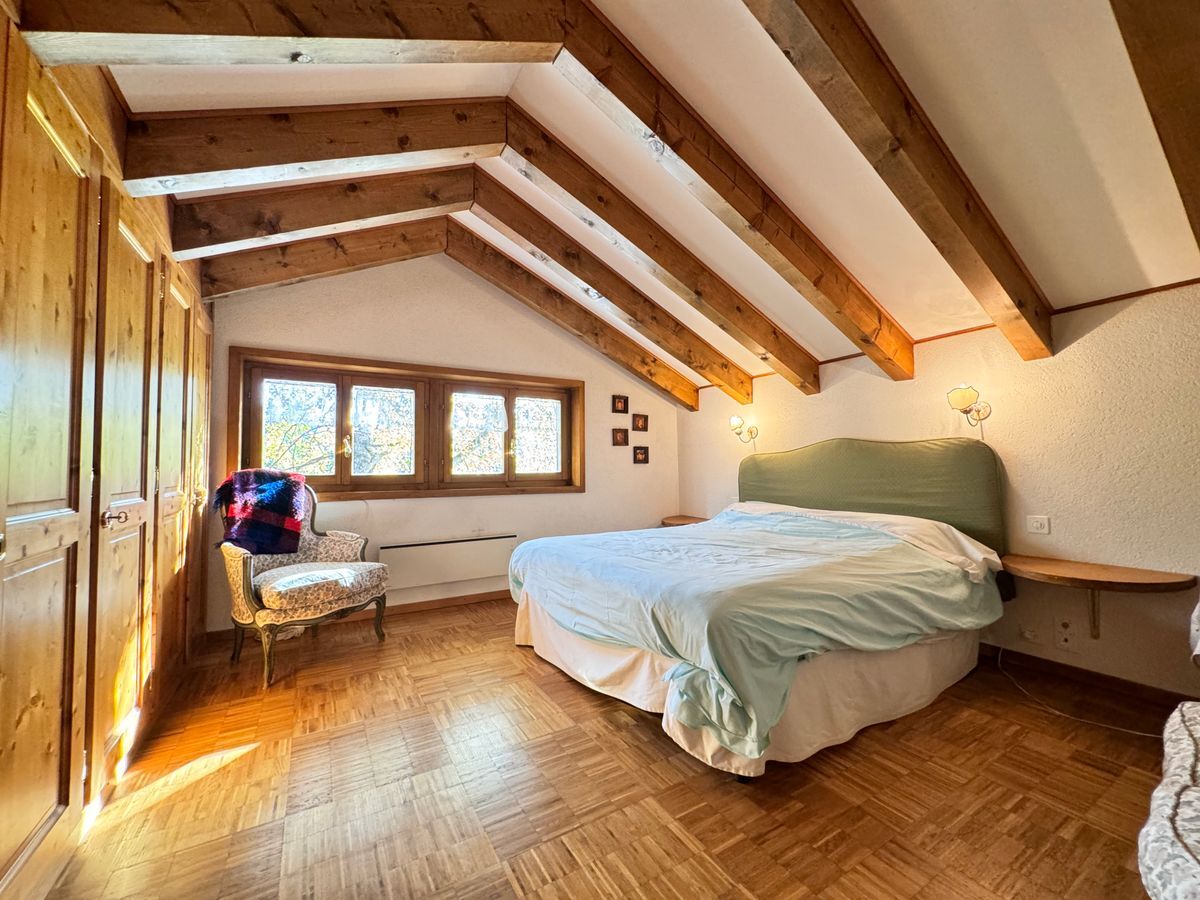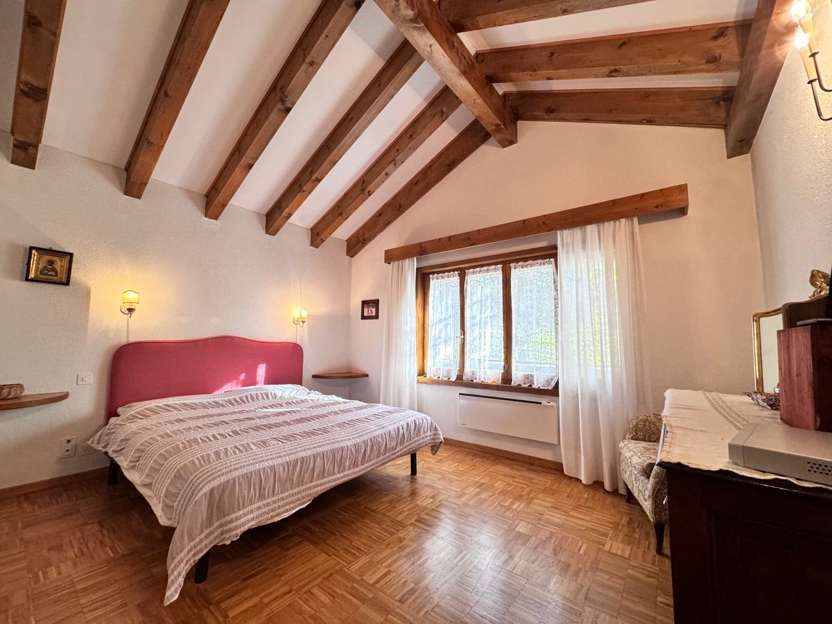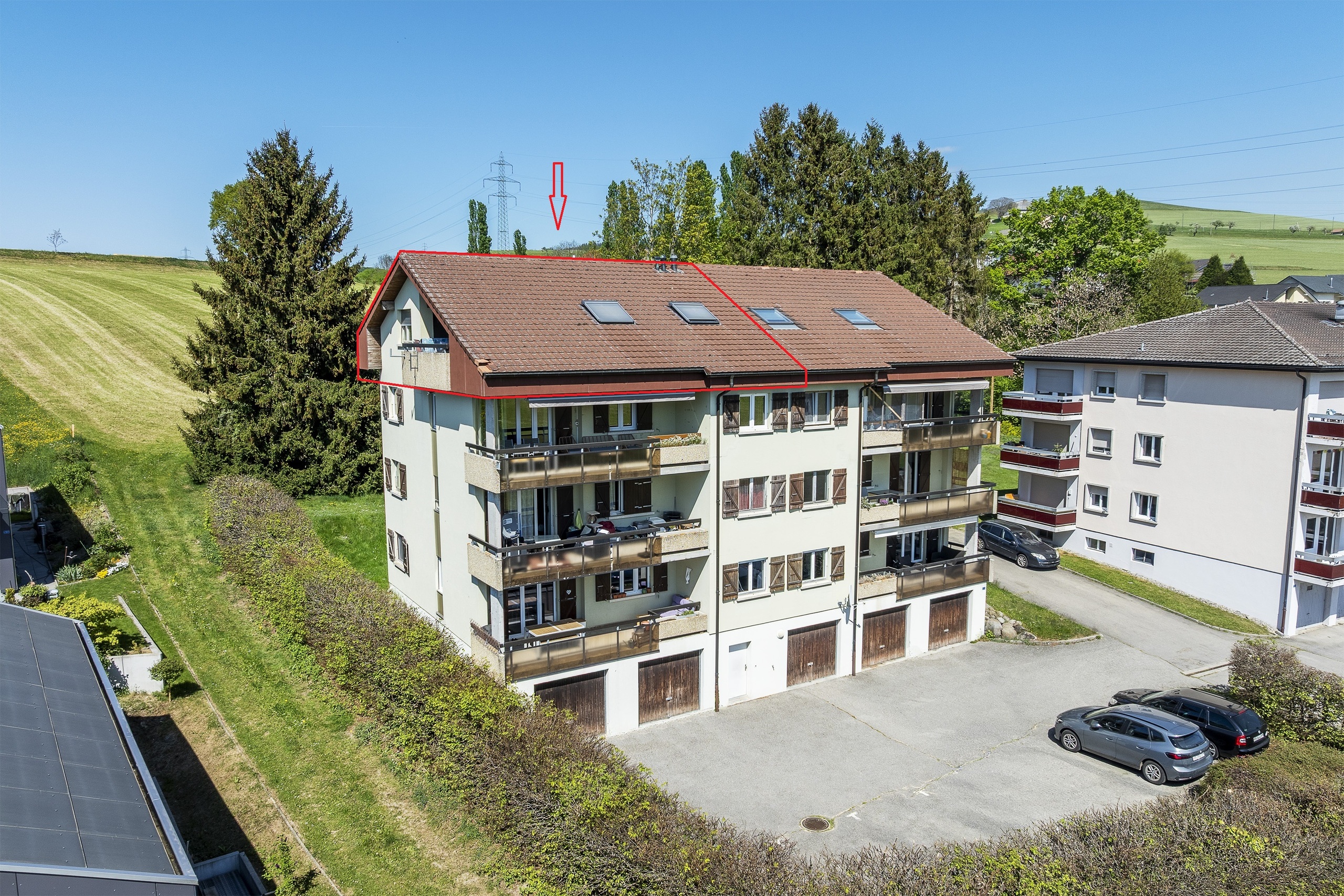
Building lot on sale in Arbaz
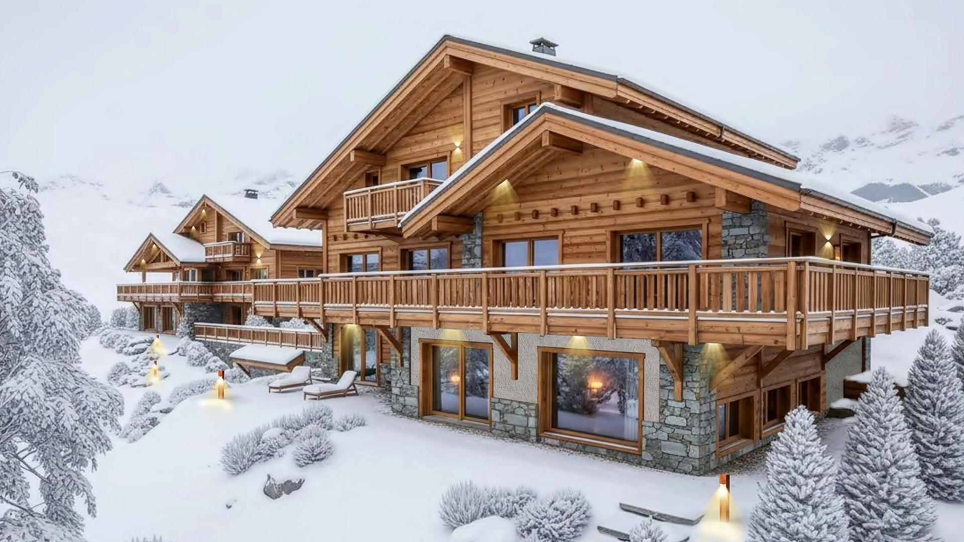
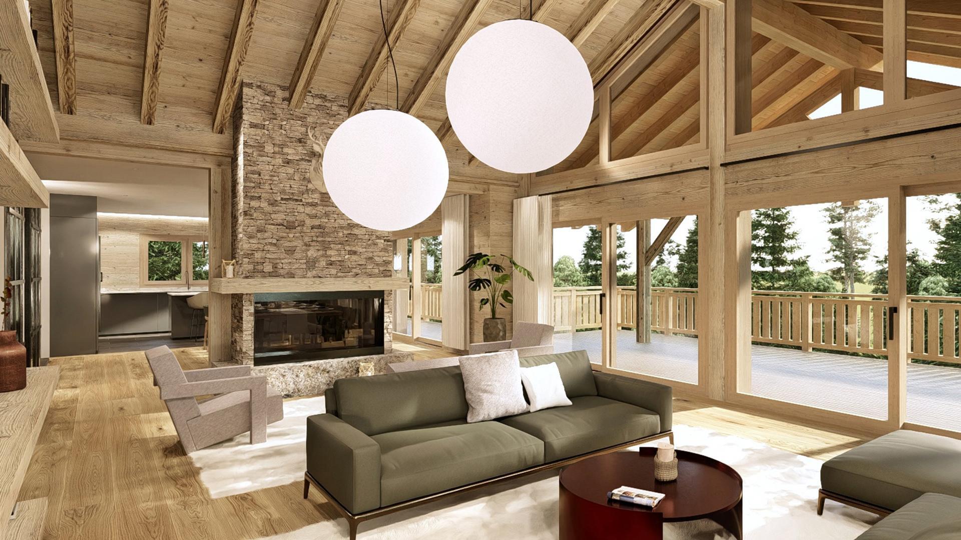
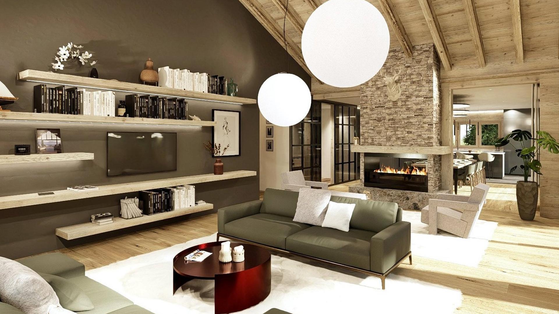
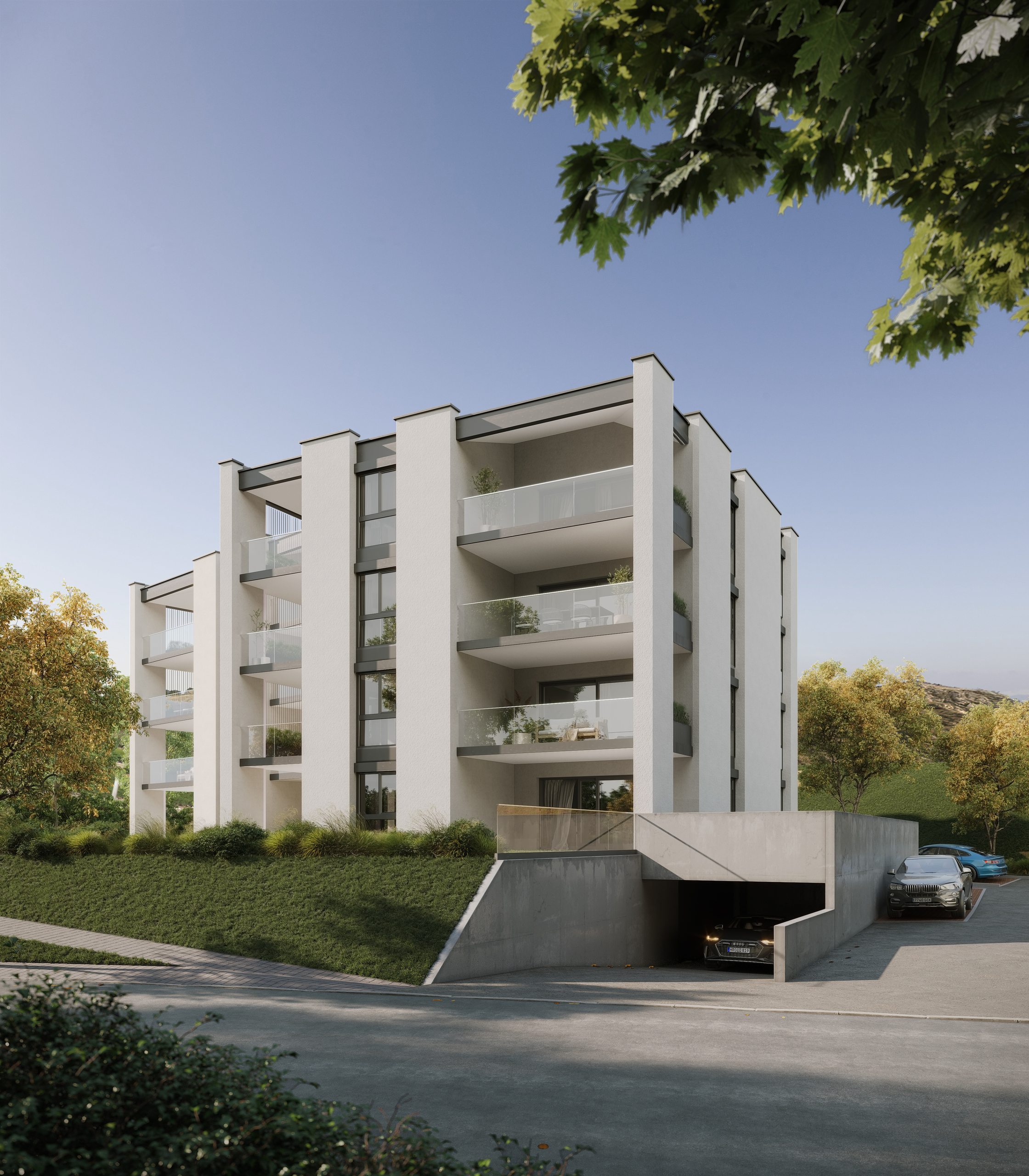
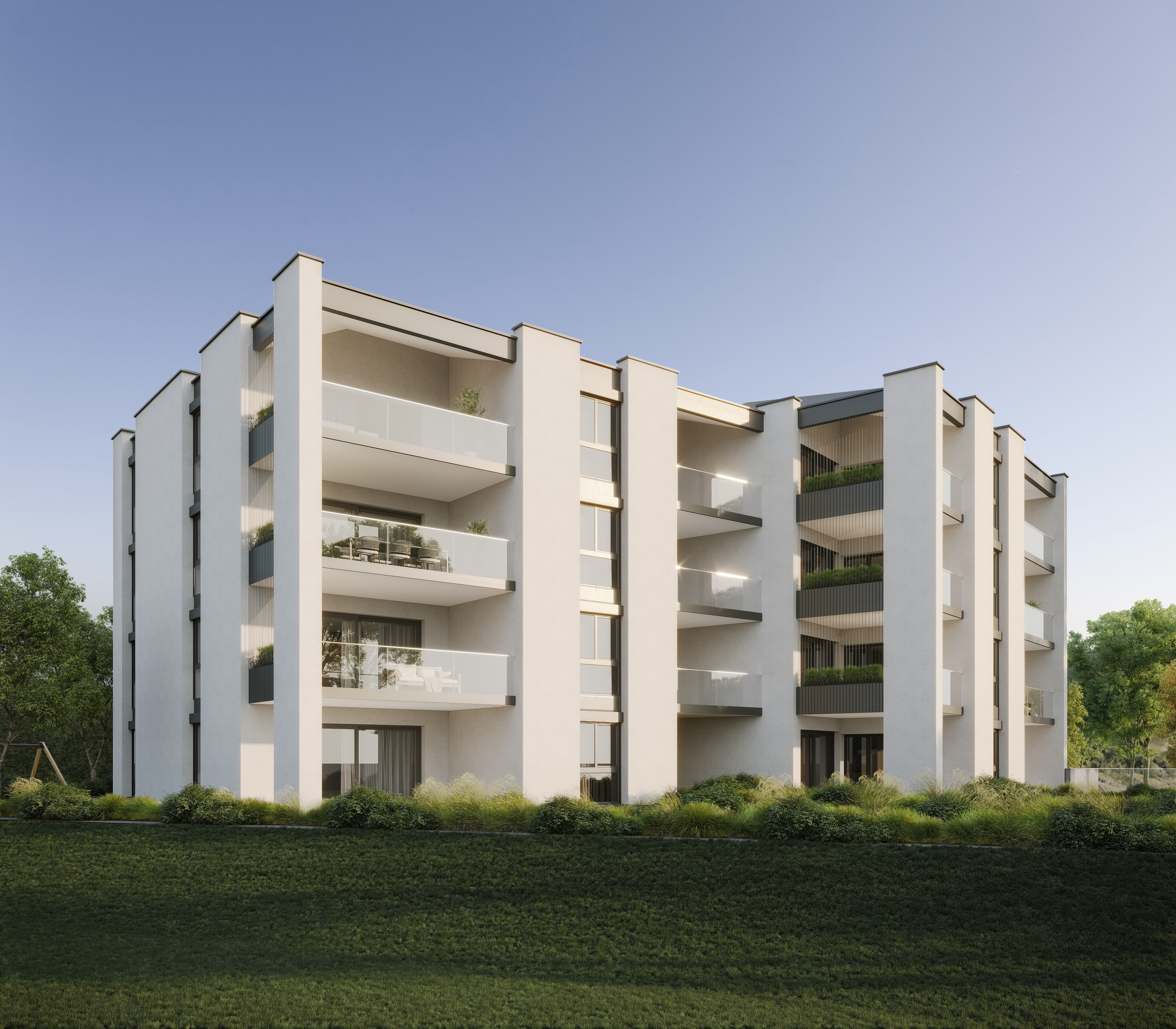
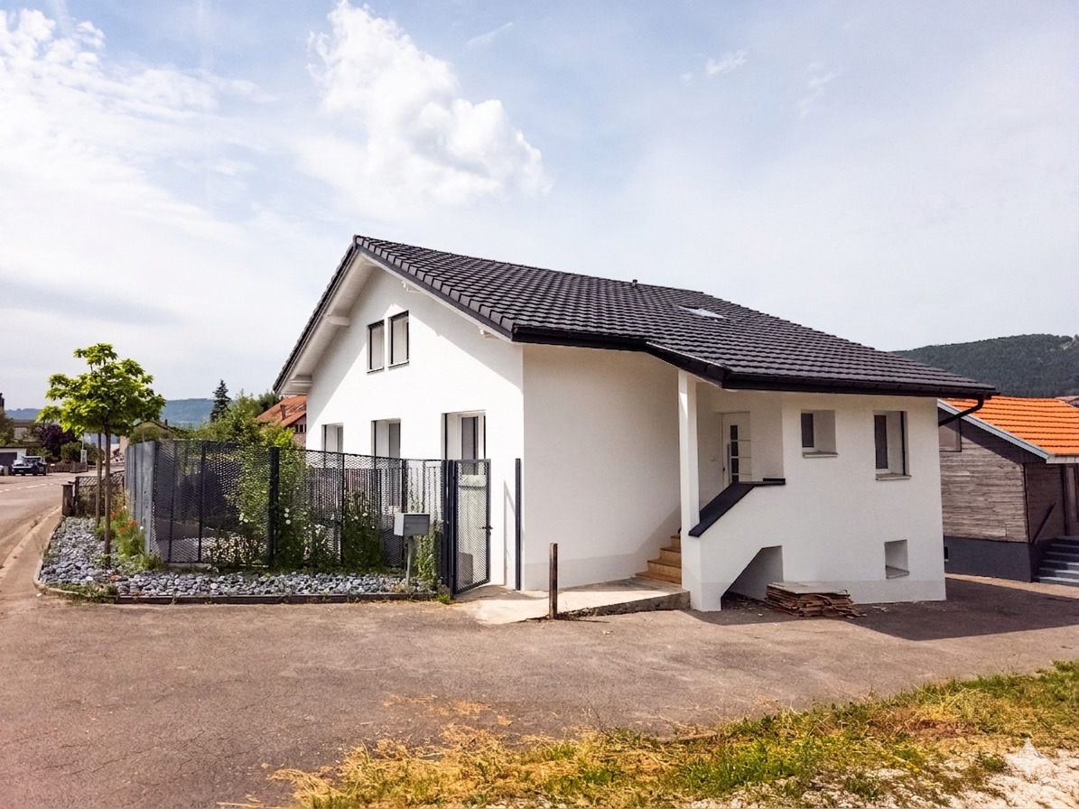
YOUR CHALET TO BUILD 15 MINUTES FROM SION ON THE HIGHLANDS!
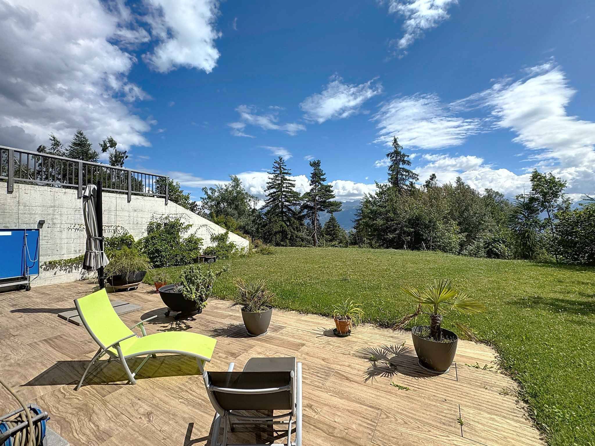
Ground surface1,046 m²
Object PriceCHF 275,000.-
Localisation
Route de la Freina, 1974 ArbazCharacteristics
Reference
5204976
Availability
Immediate
Second home
Non authorized
Plot
1
Equiped land
Partially
Ground surface
1,046 m²
Description
Text translated from french, see original
Original text in french, translate to English.
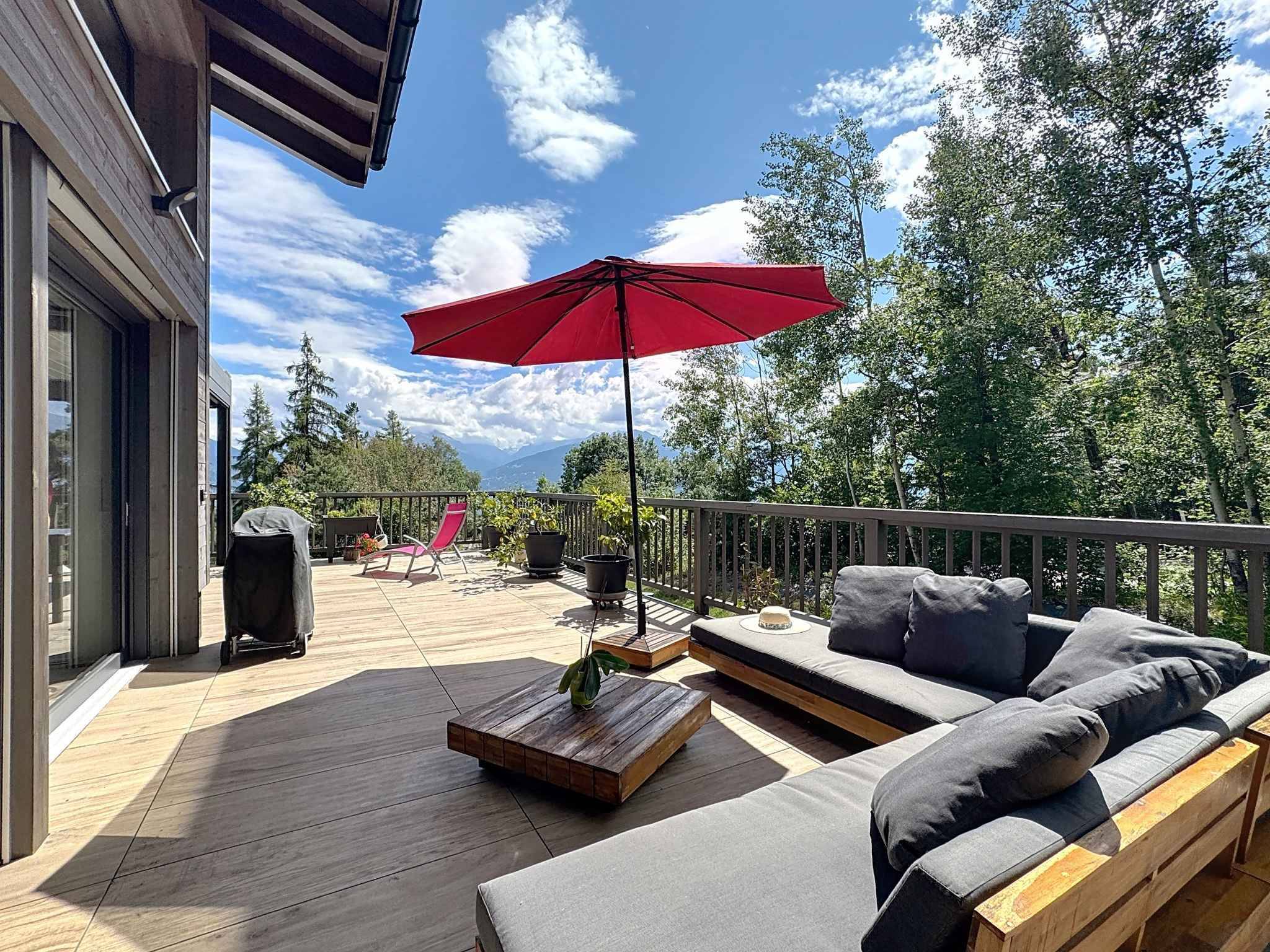
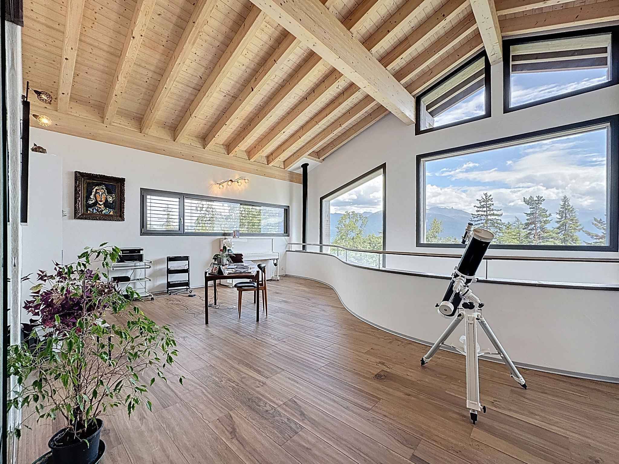
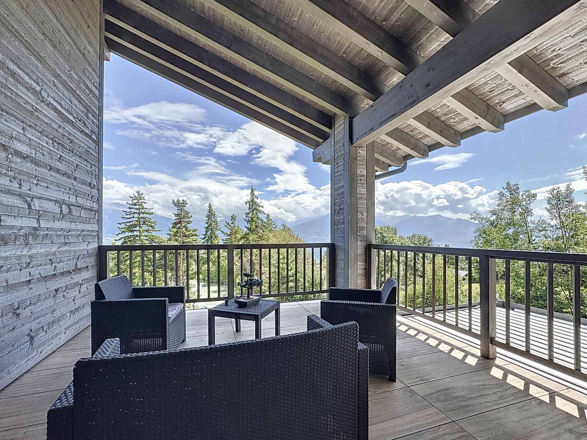
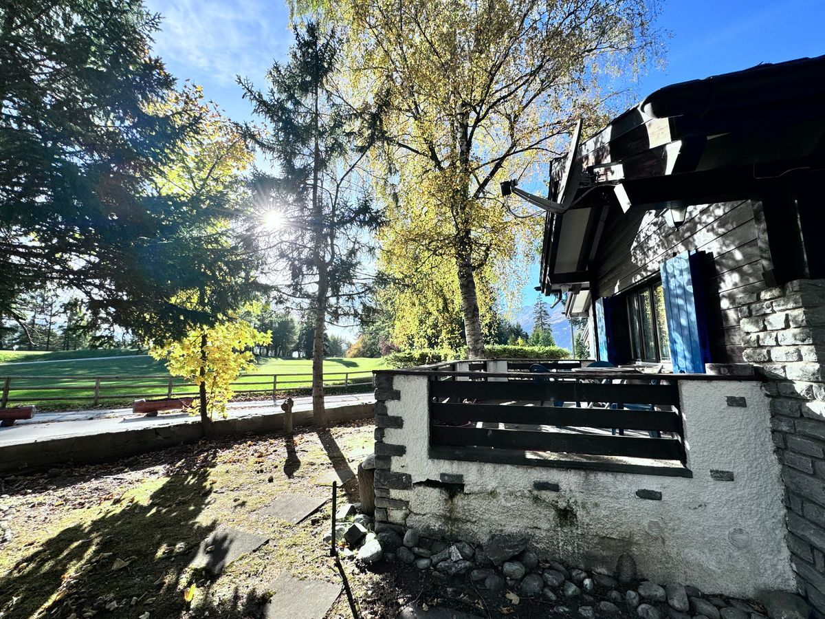
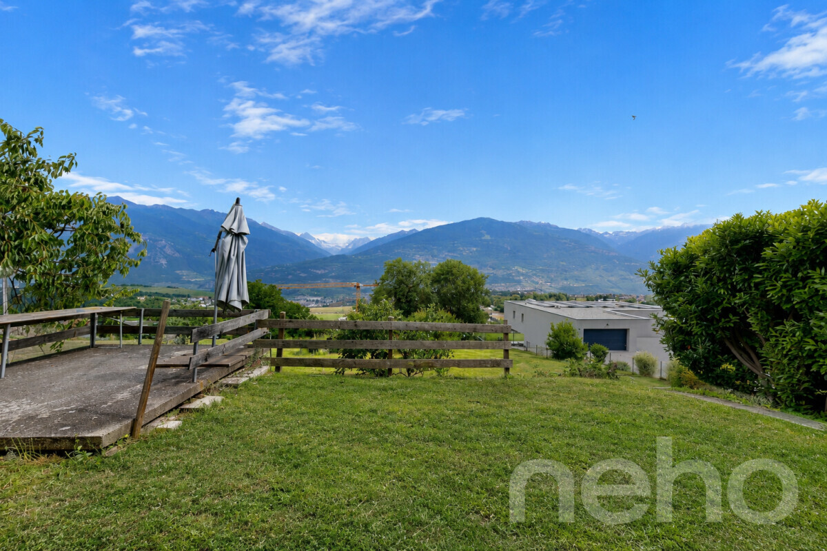
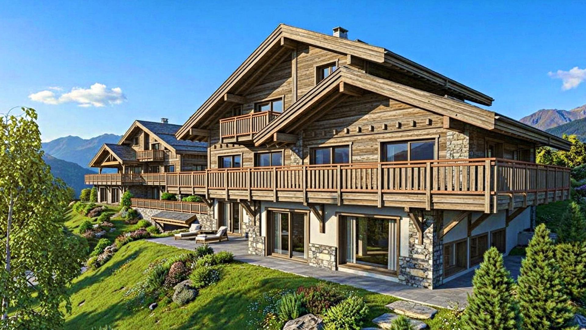
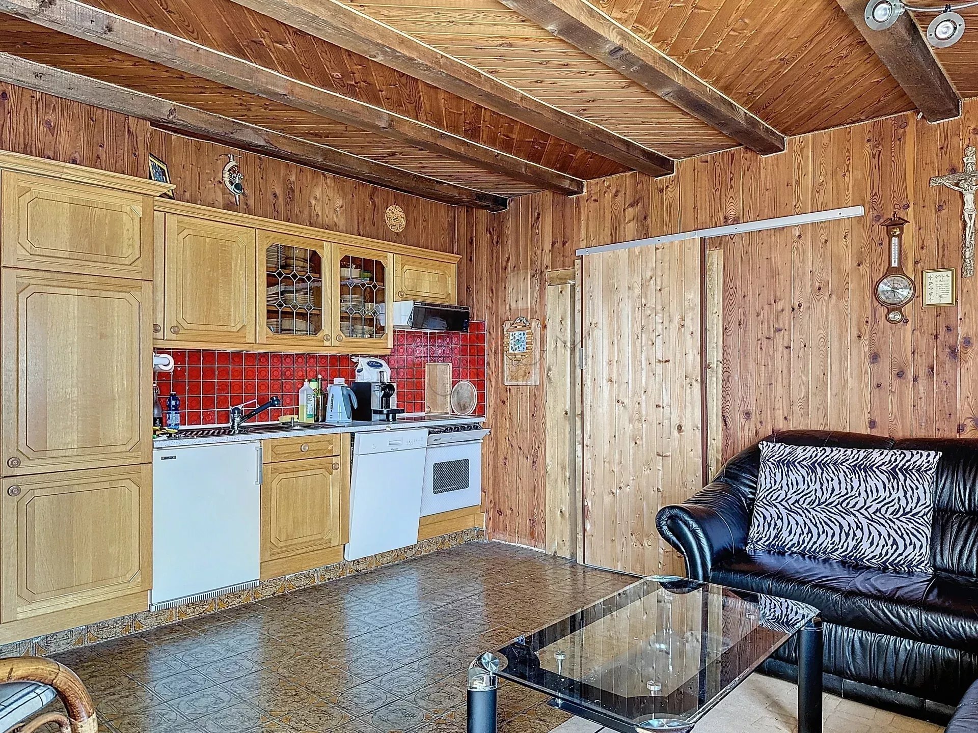
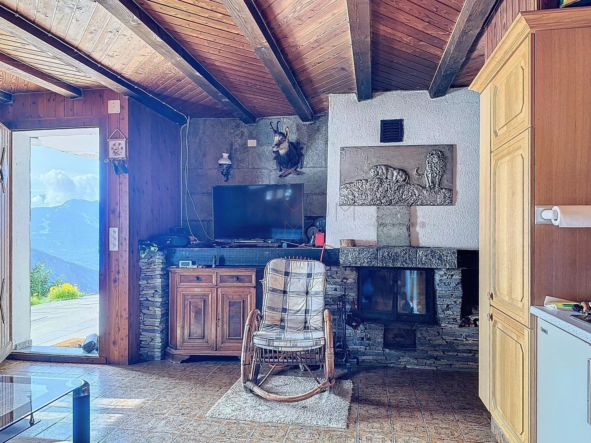
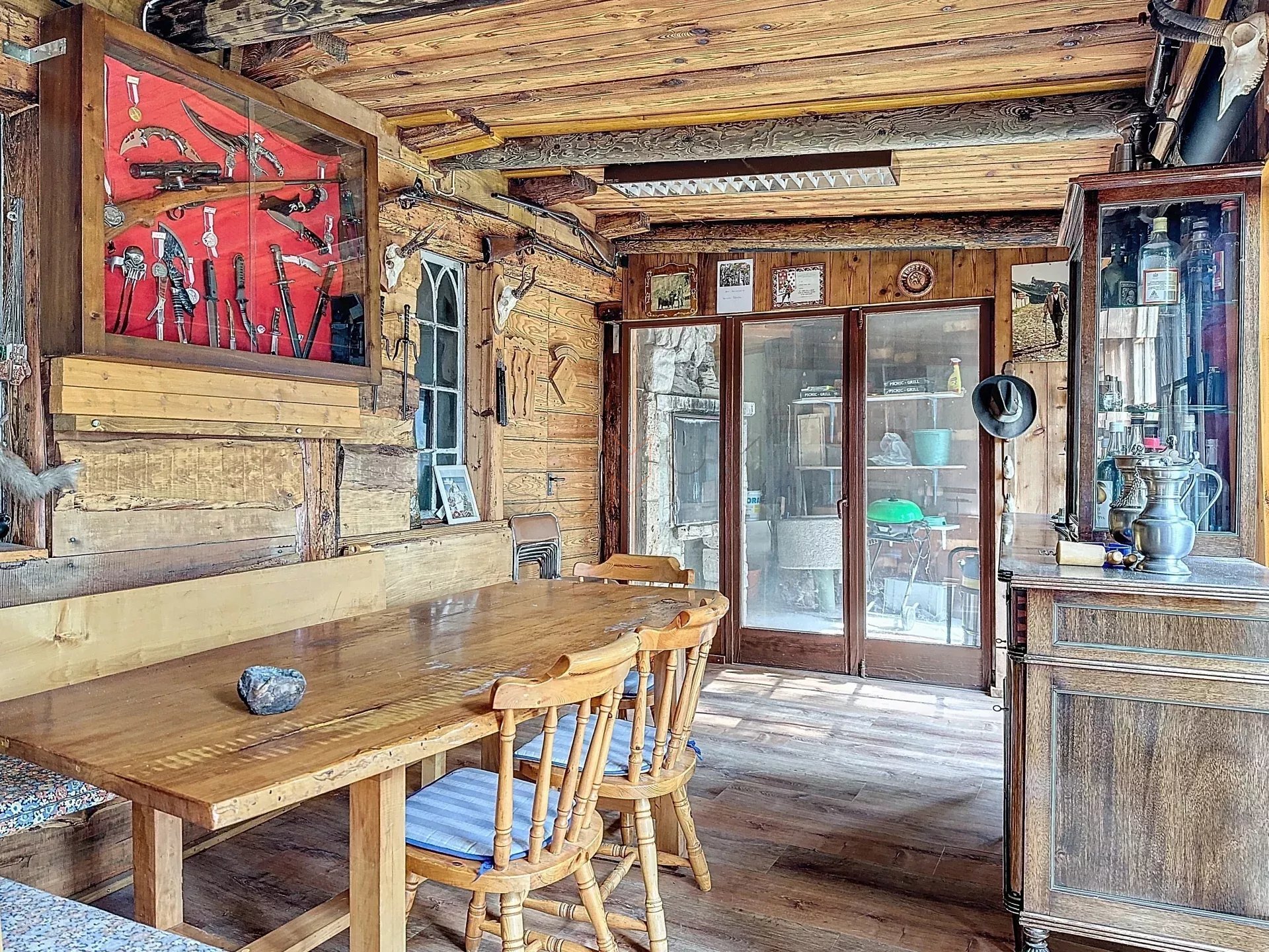
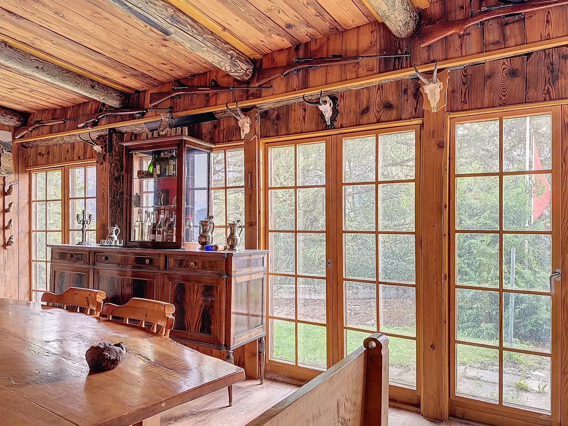
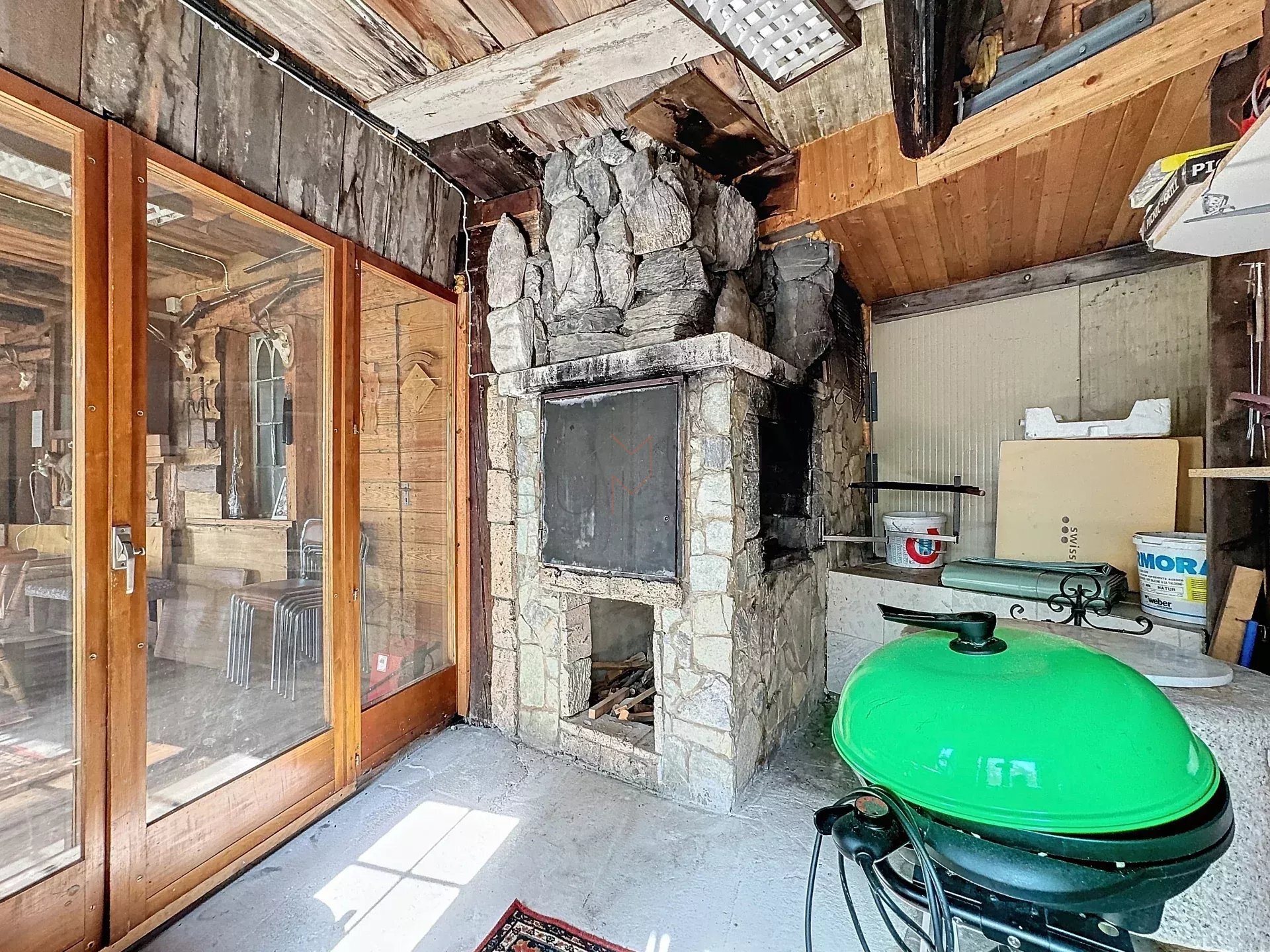
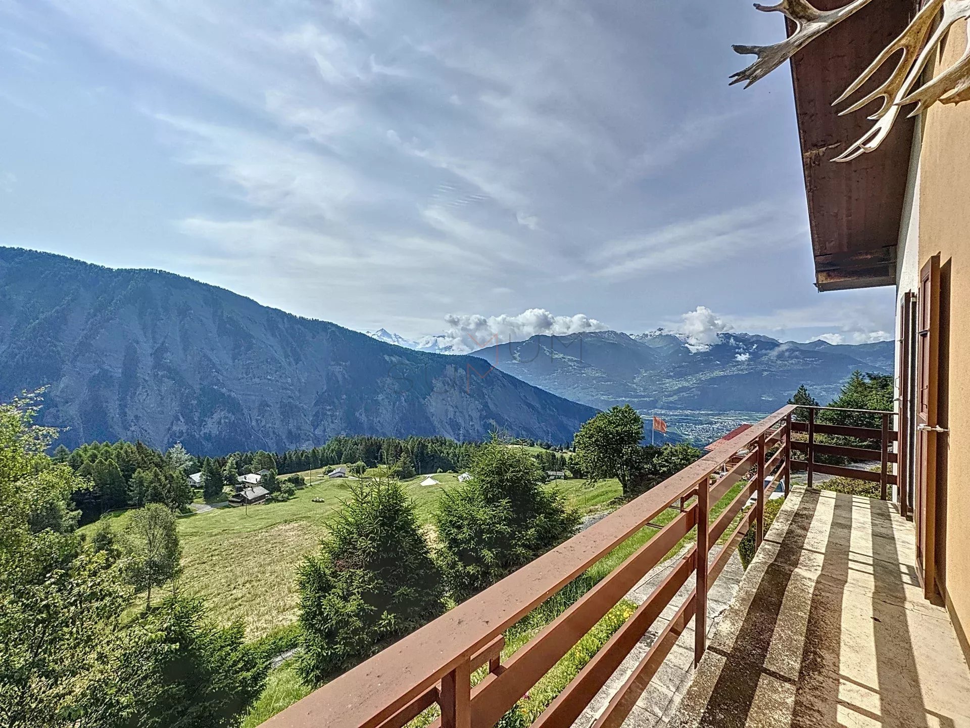
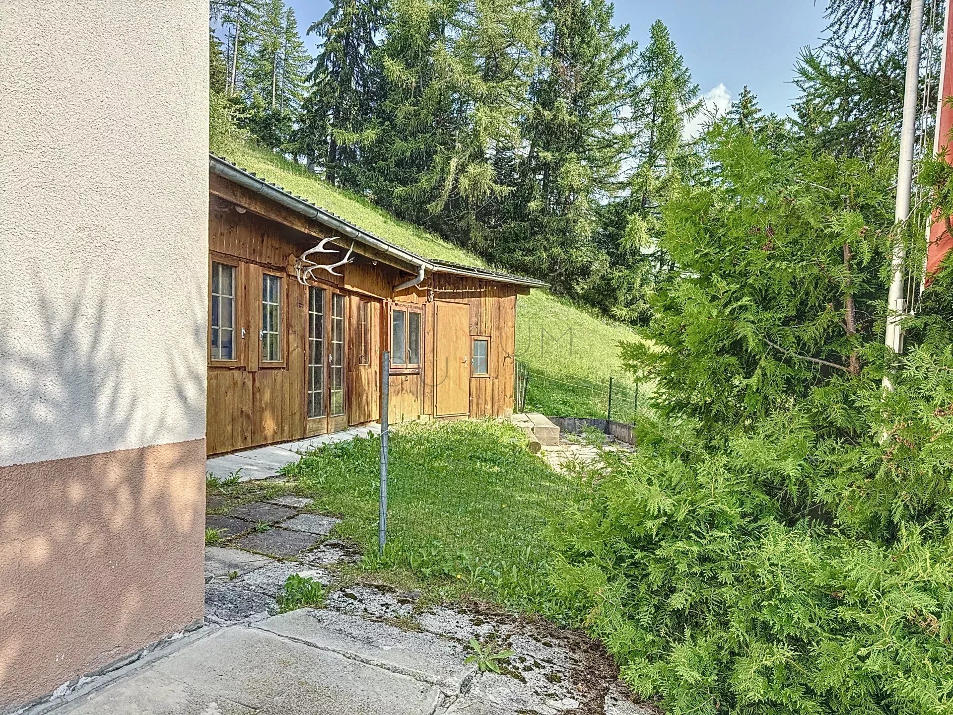
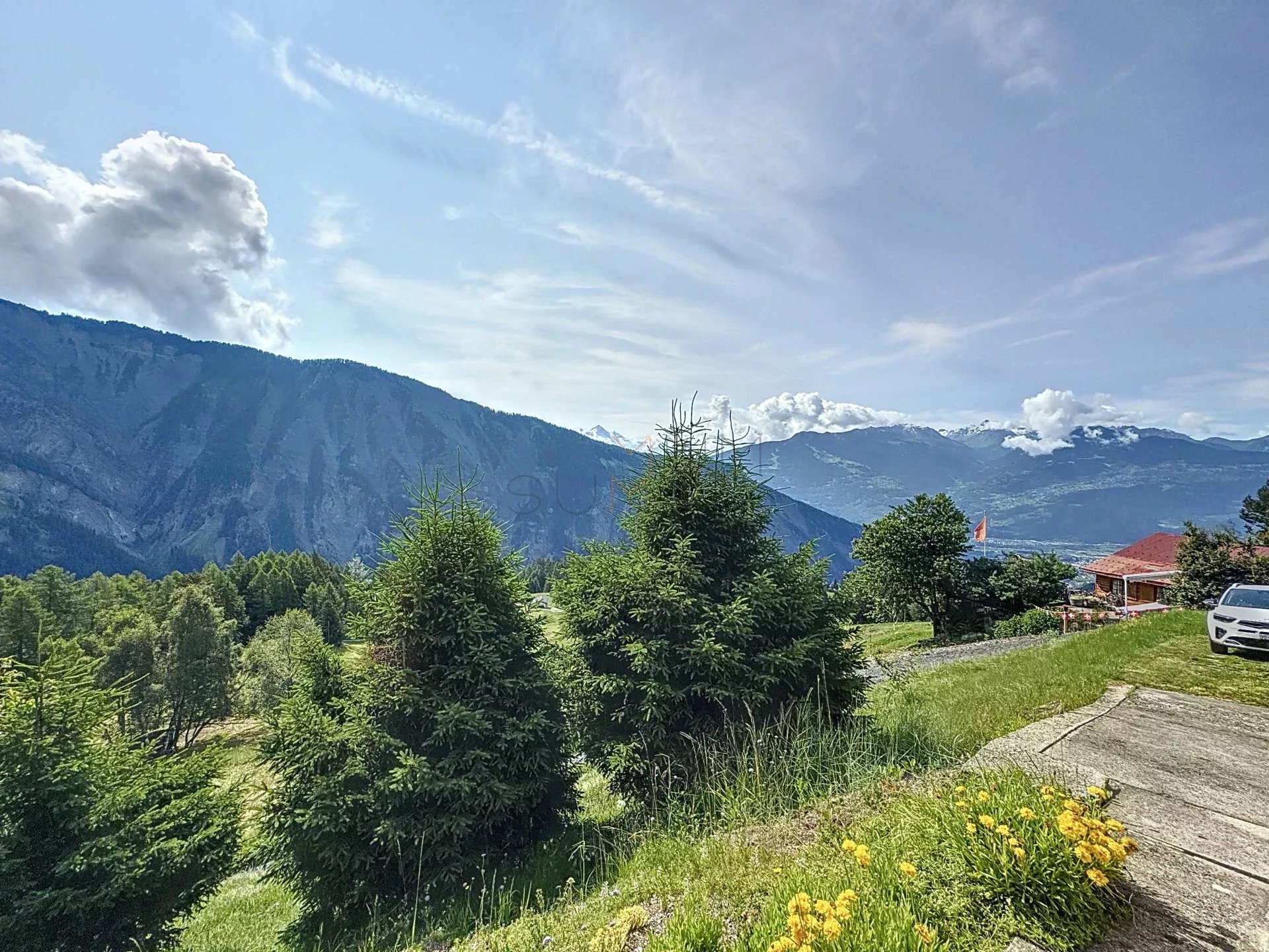
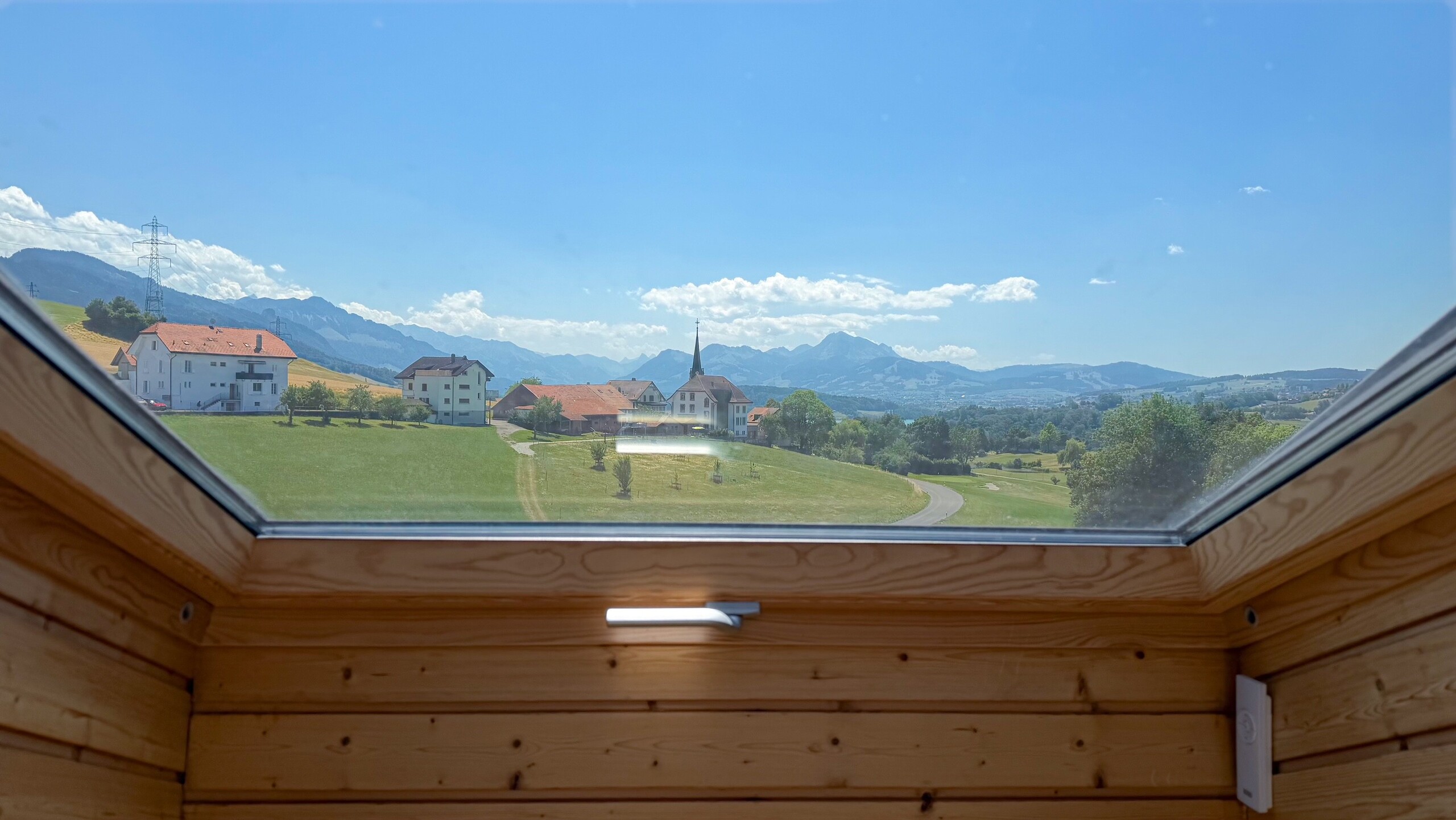
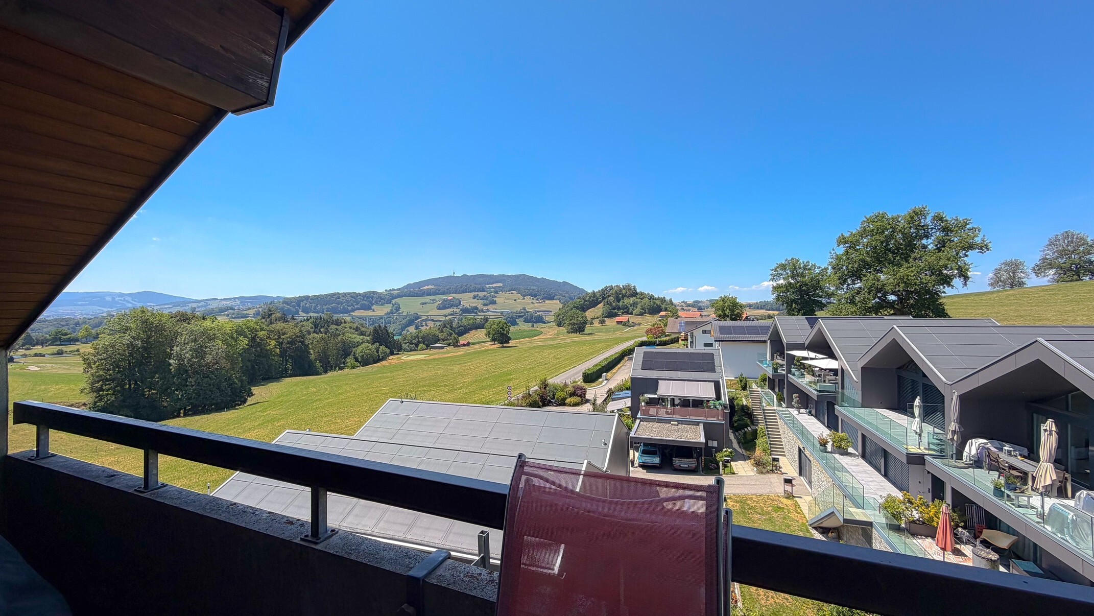
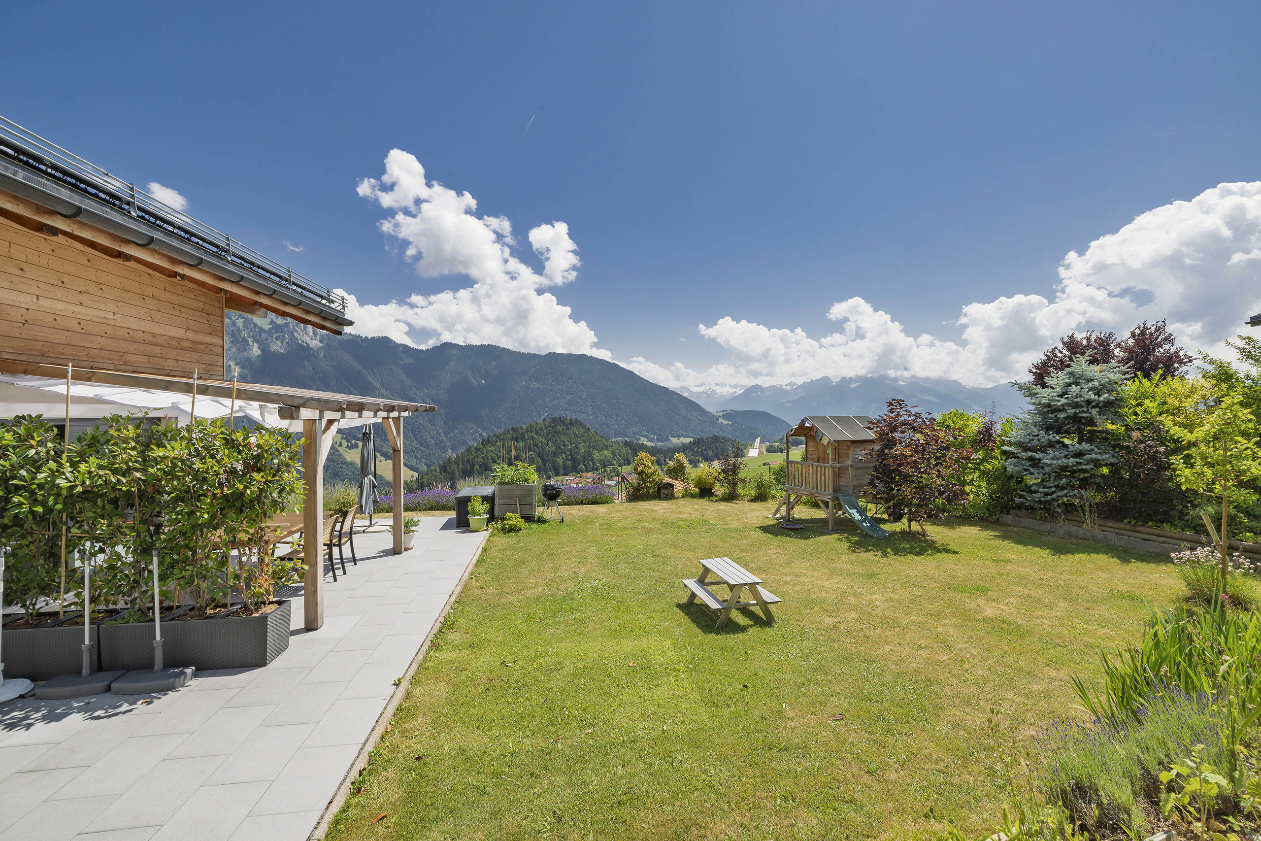
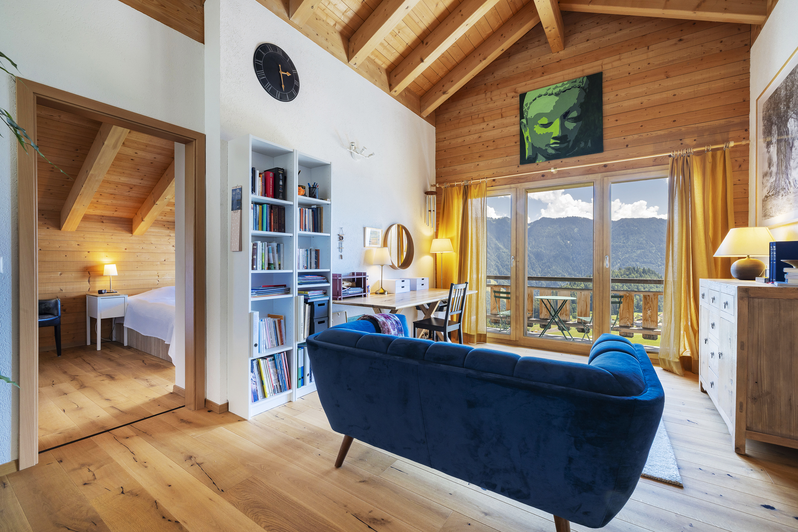
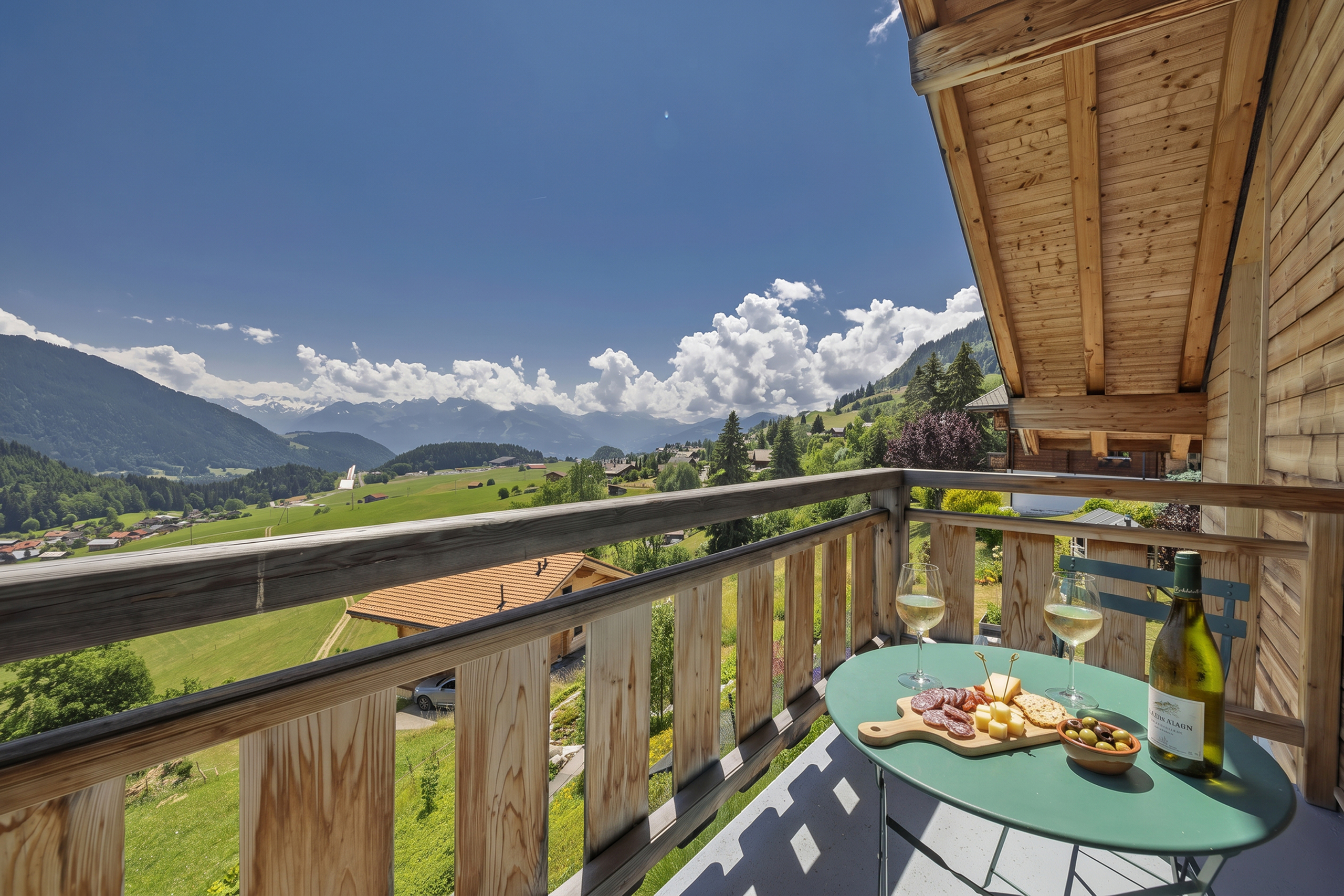
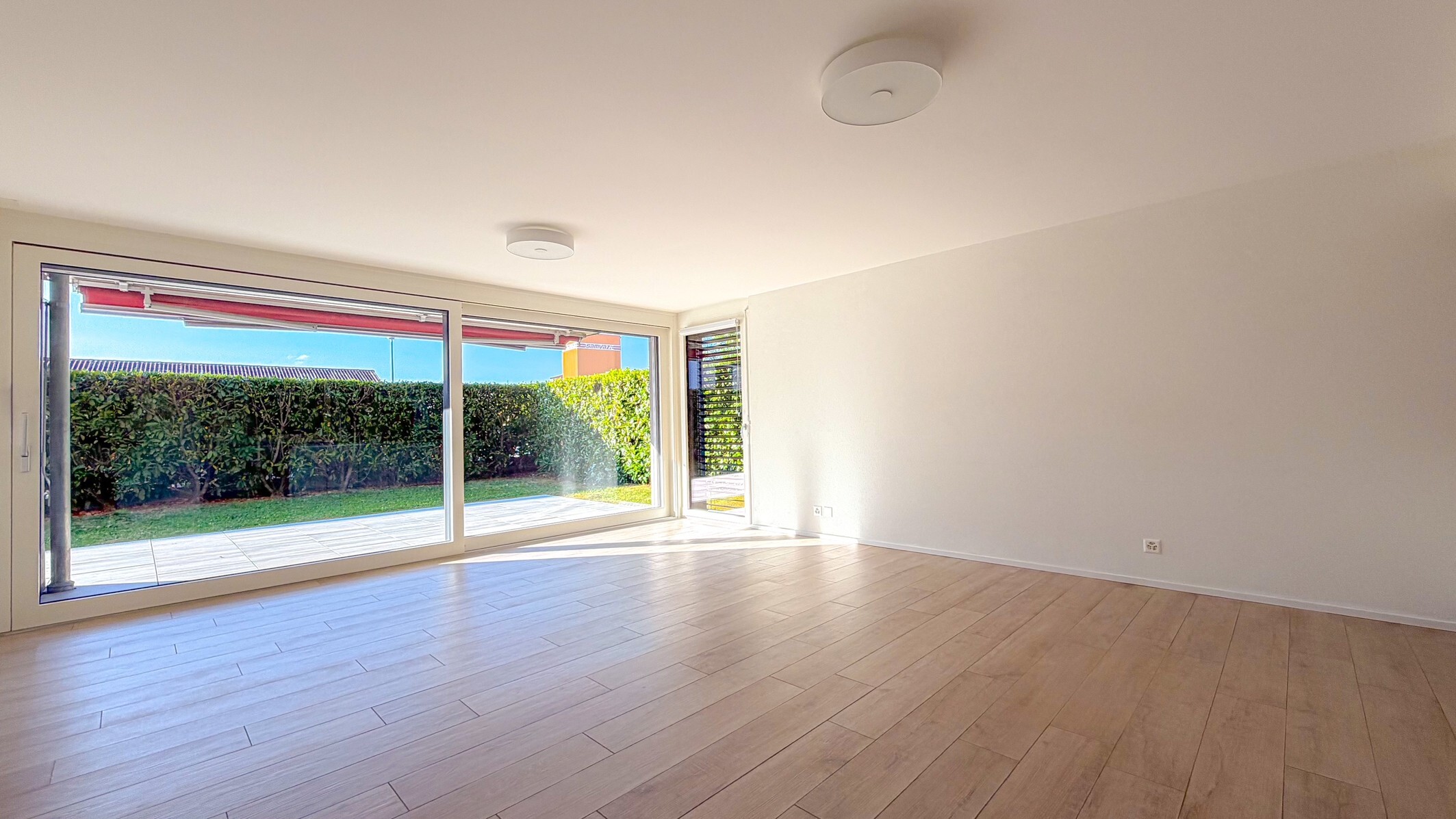
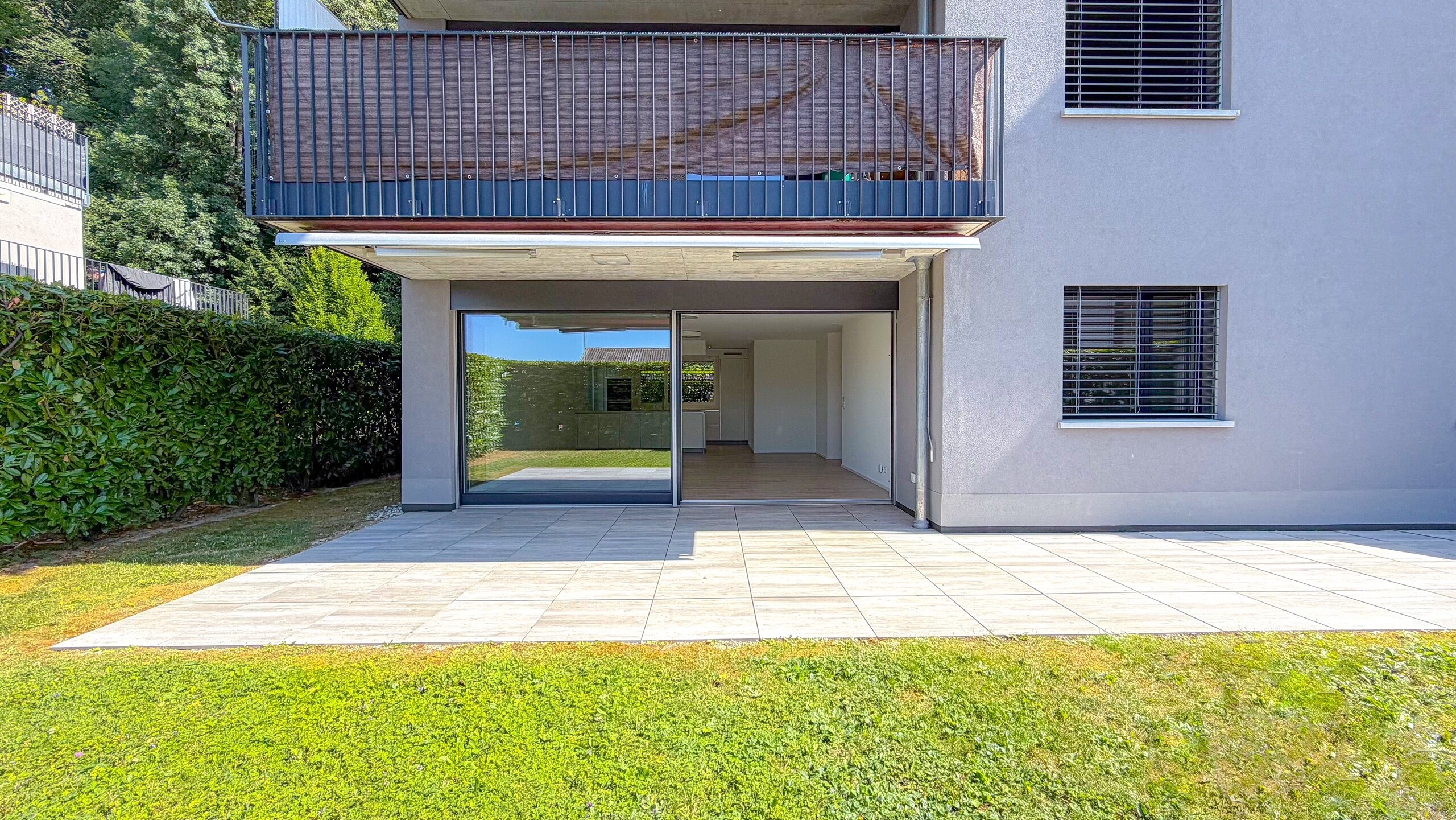
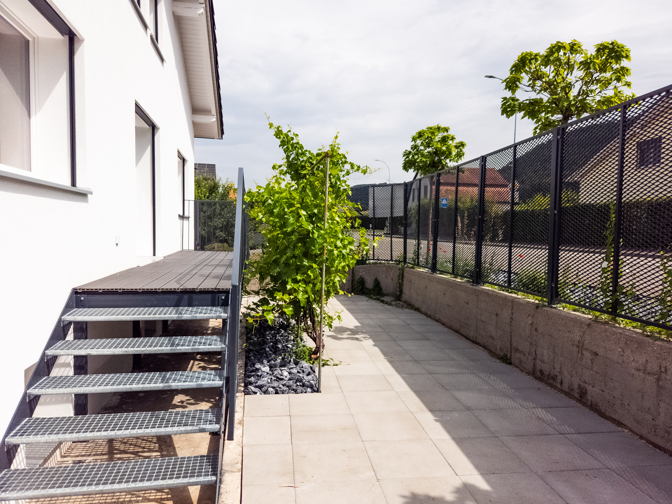
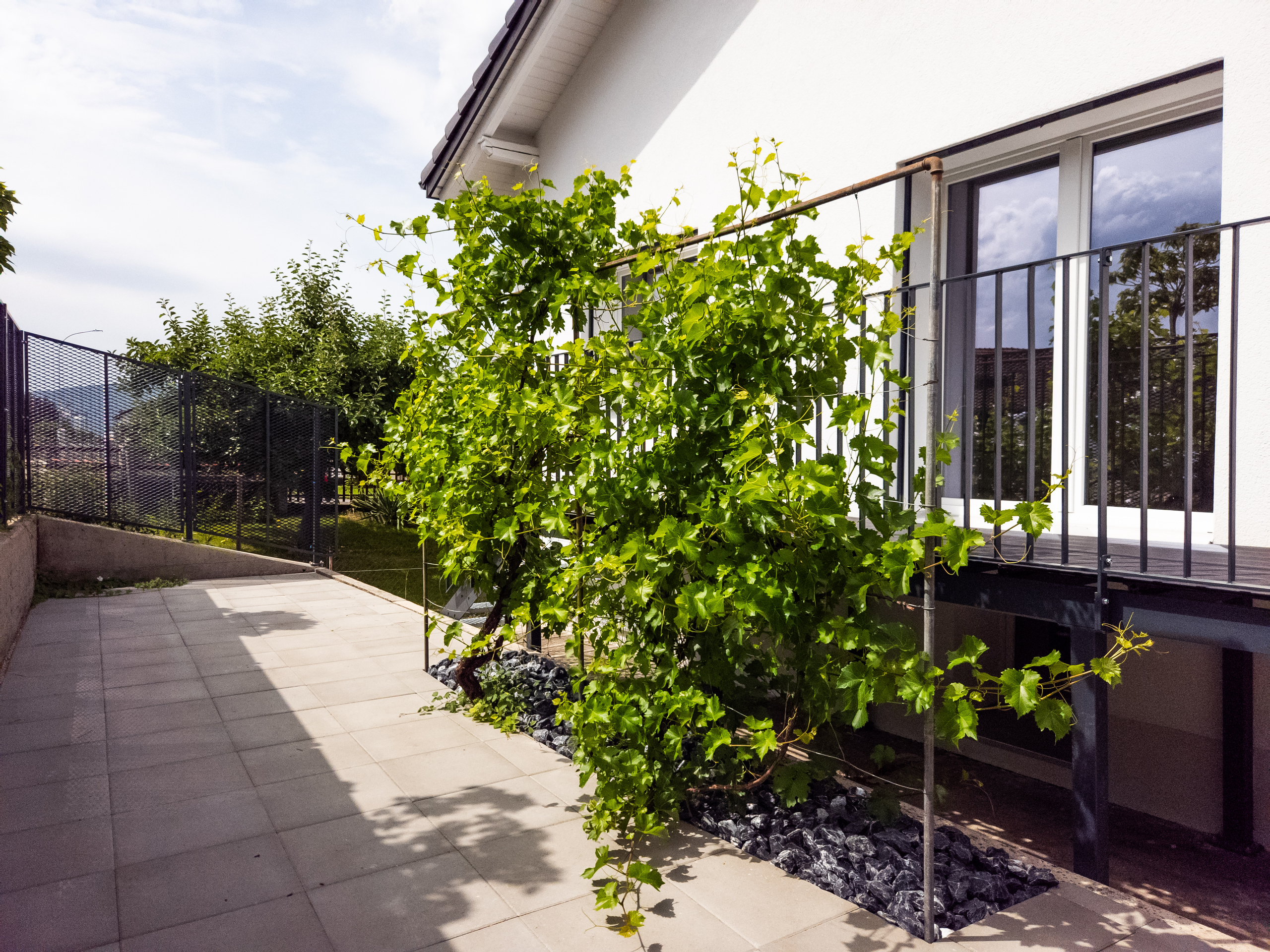
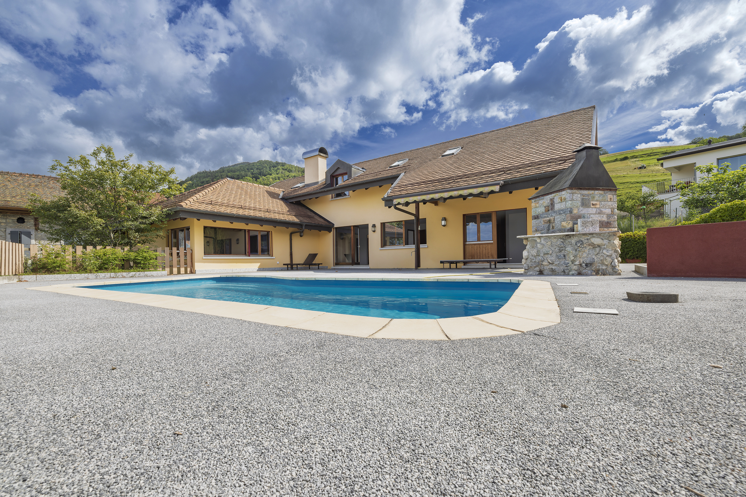
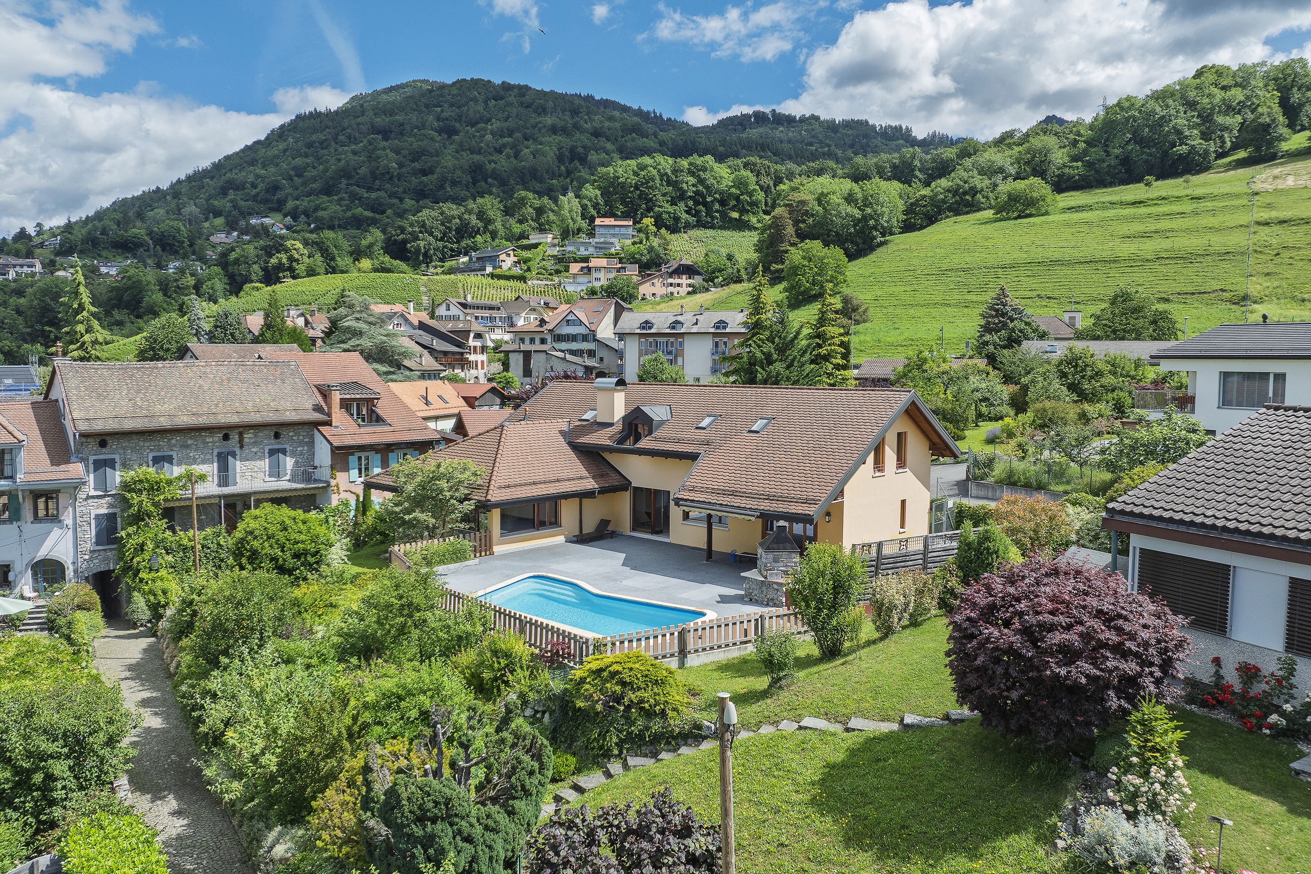
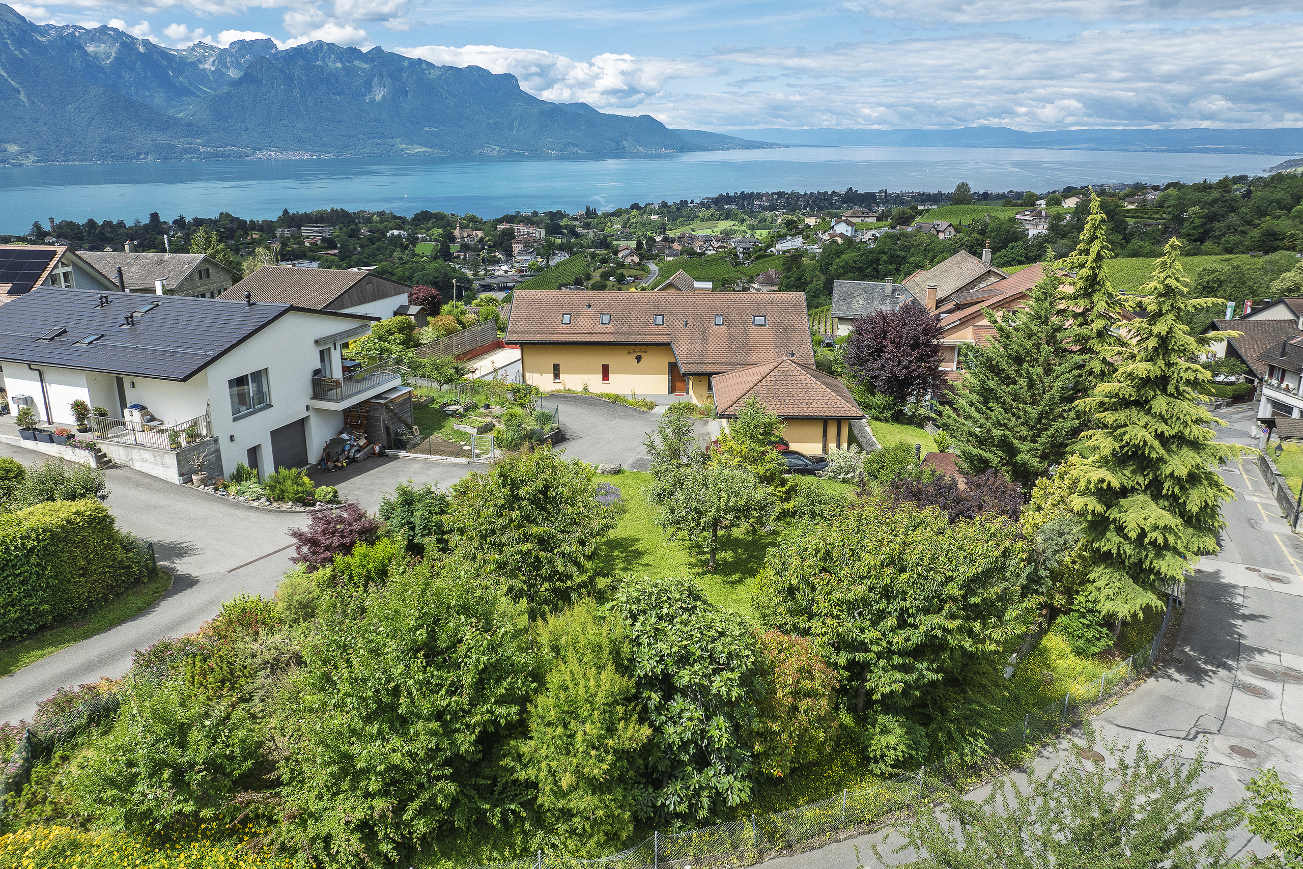
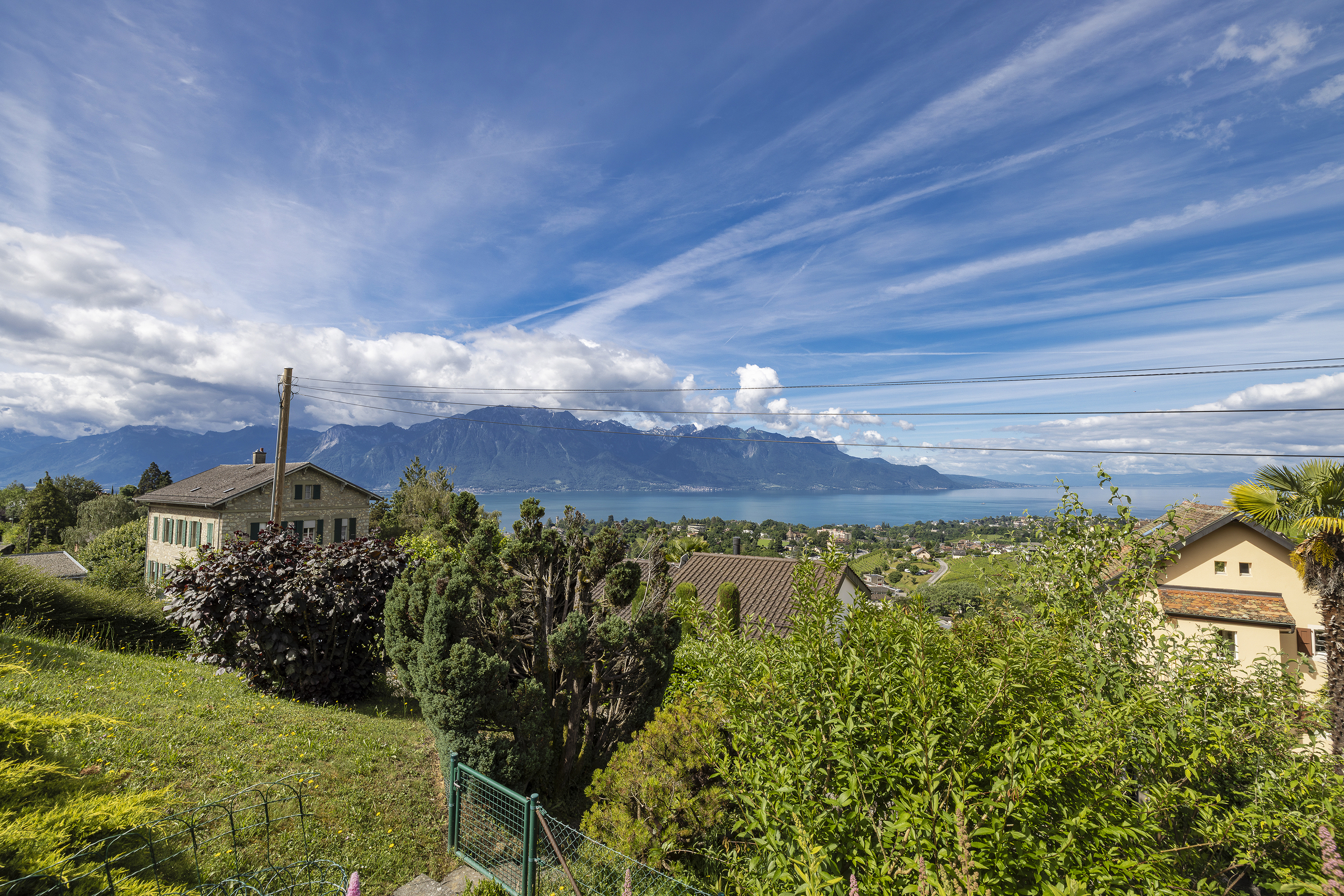
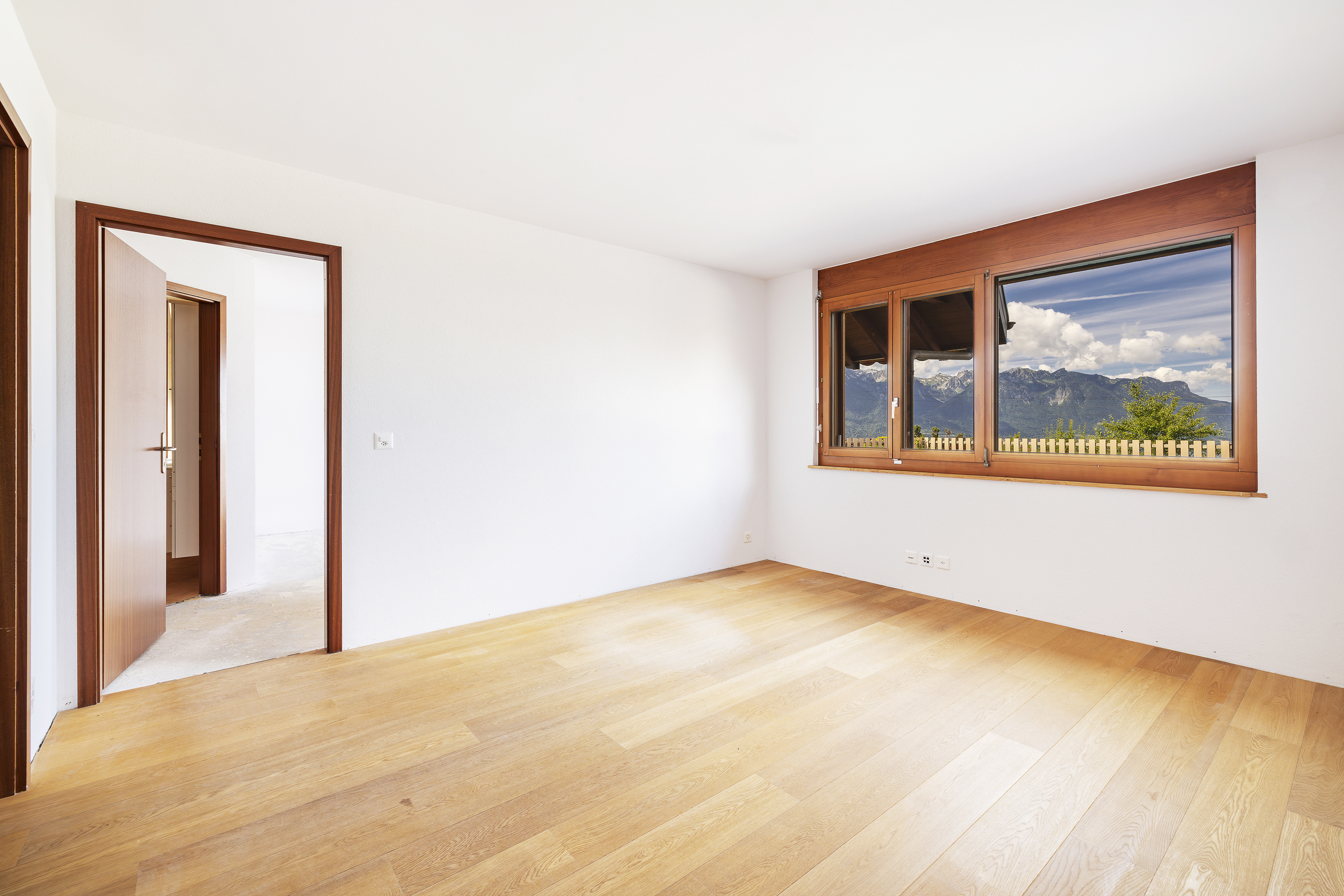
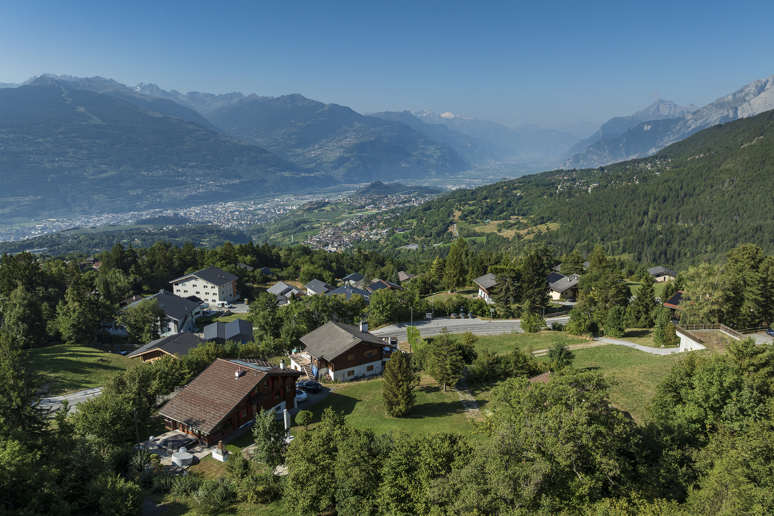
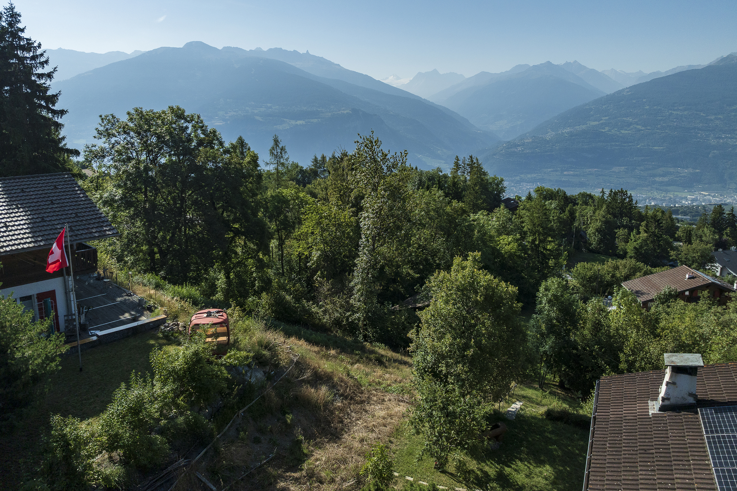
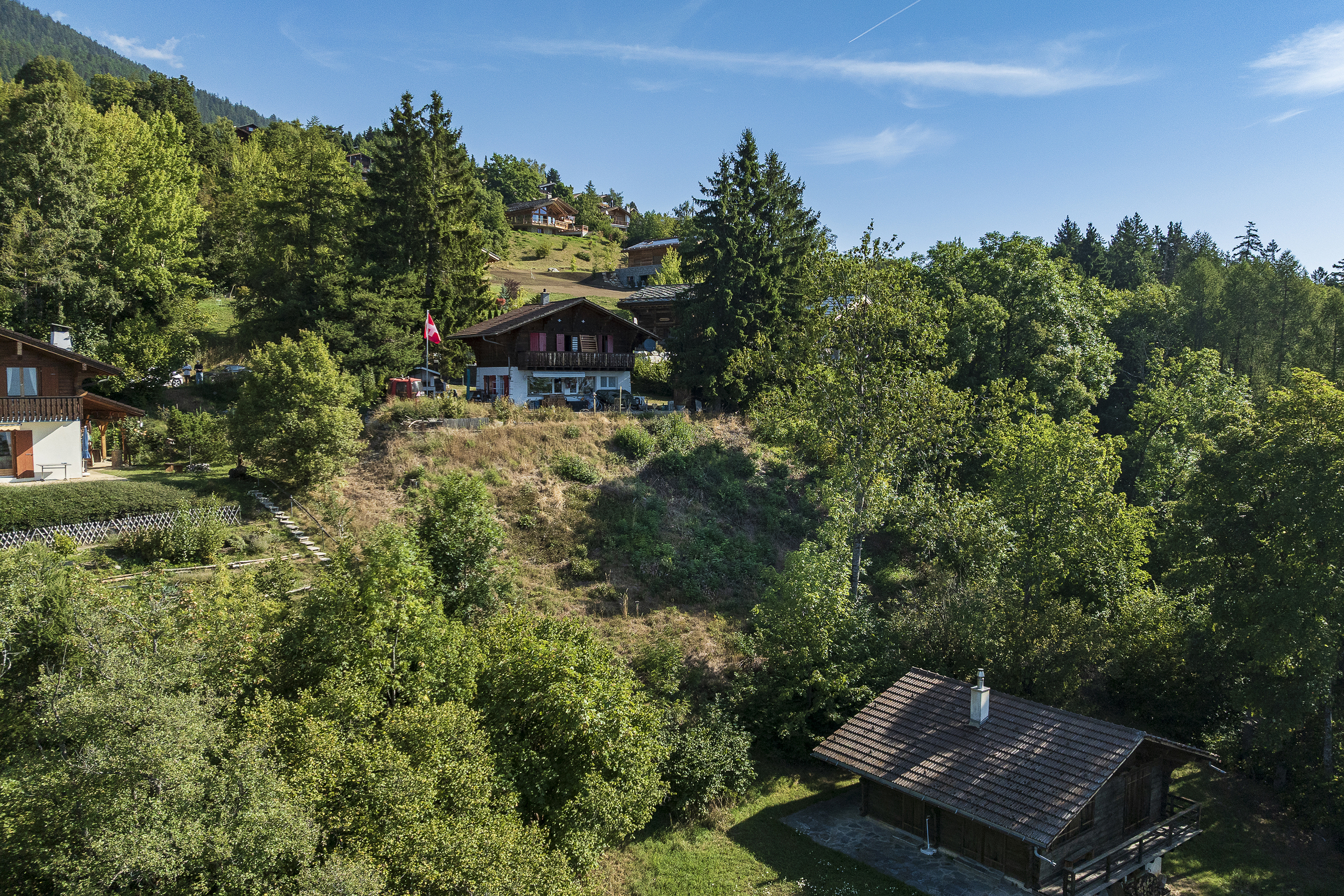
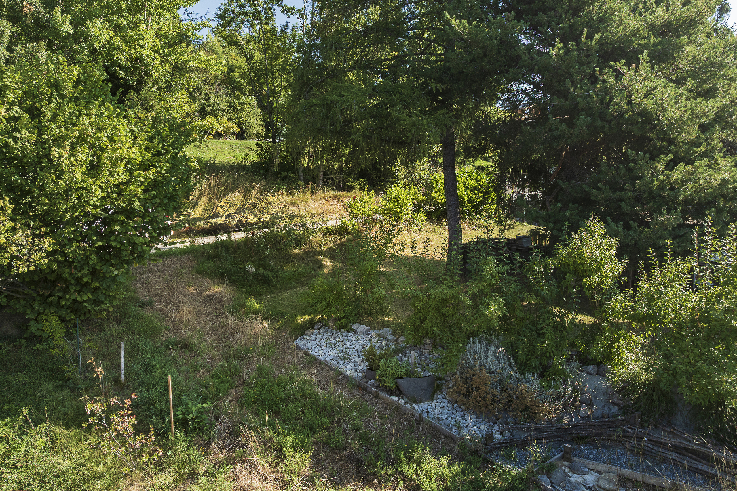
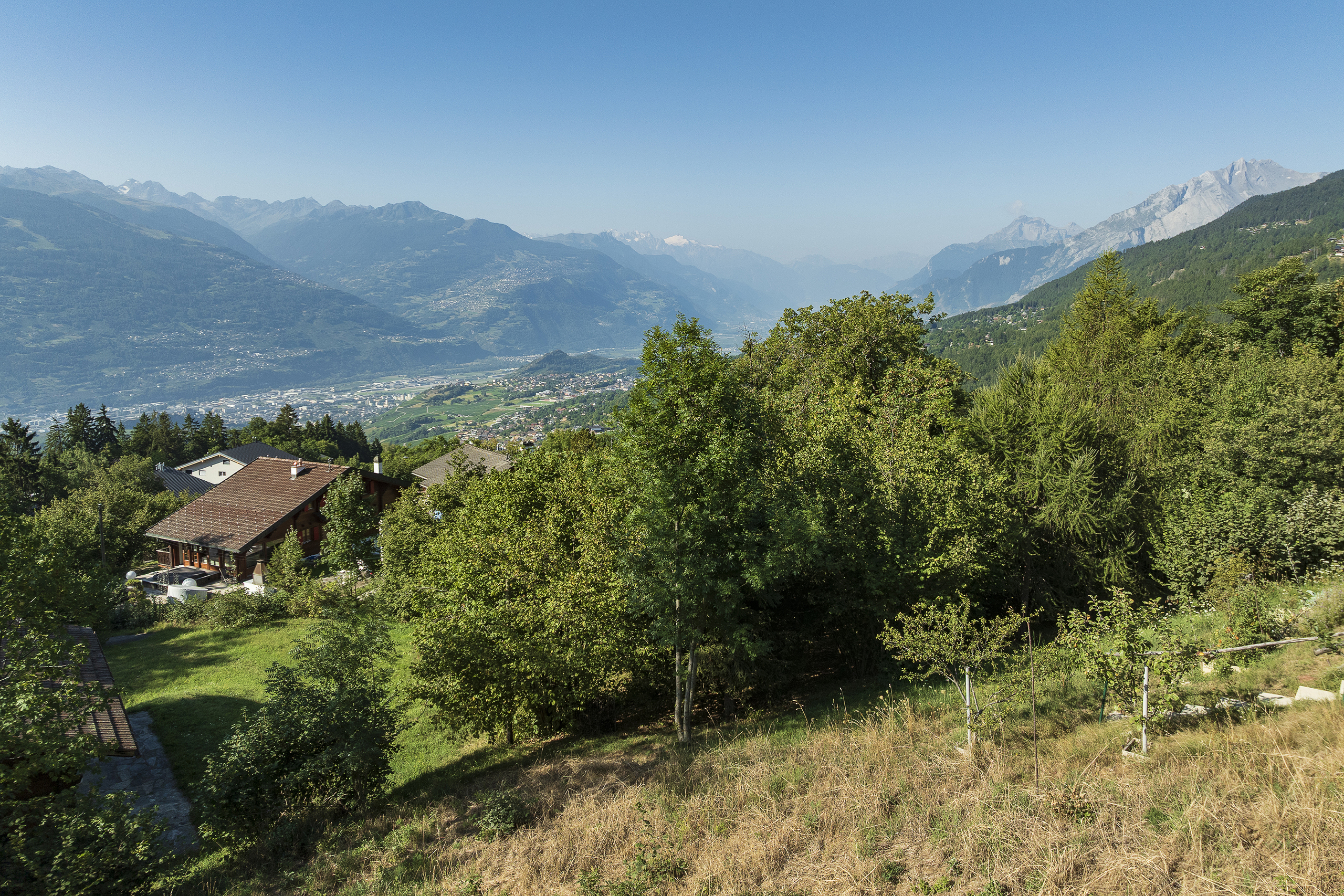
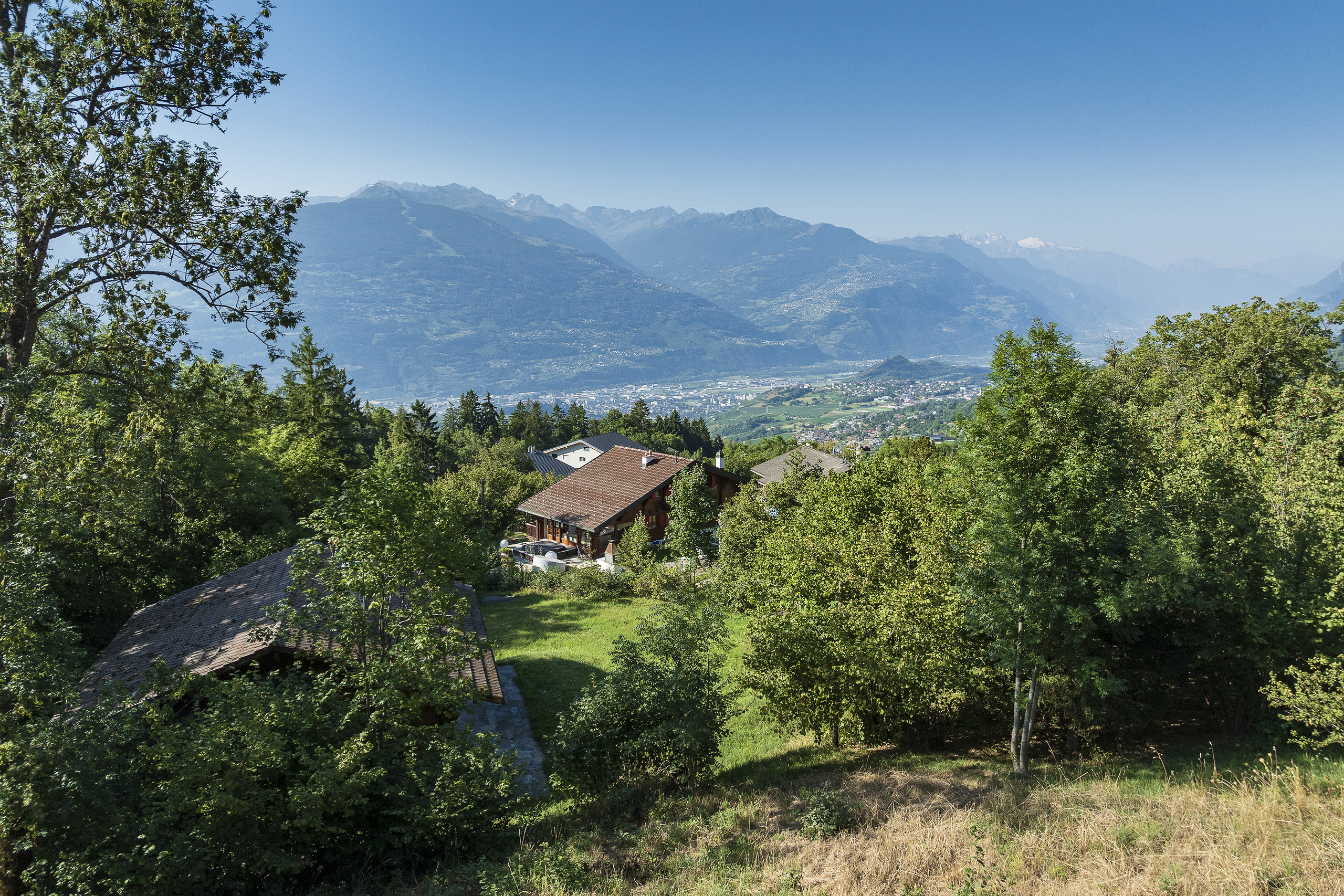
This plot of land in Les Mayens-d'Arbaz, more than 1000 m² in size, "drops down into the Rhone Valley". This residential chalet area will charm you with its exceptional view, tranquillity and sunshine.
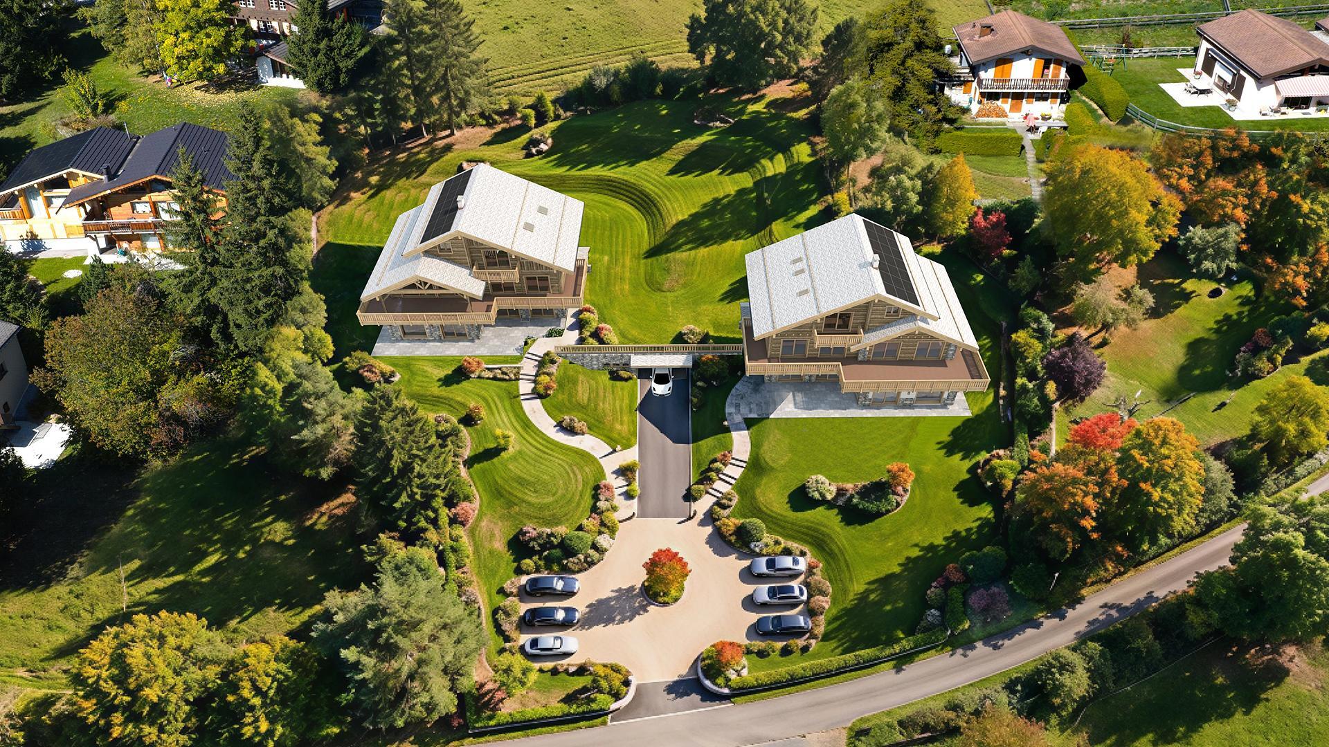
A chalet, for primary residence, can be built on this land; it has a servitude along the side of the neighborhood road for the creation of 5 parking spaces.
The IBUS coefficient is 0.5.
Sion is only 15 minutes away by car. Public transport is also available; there is a bus stop 300 meters away.
All amenities are just a few minutes away in the village of Arbaz.
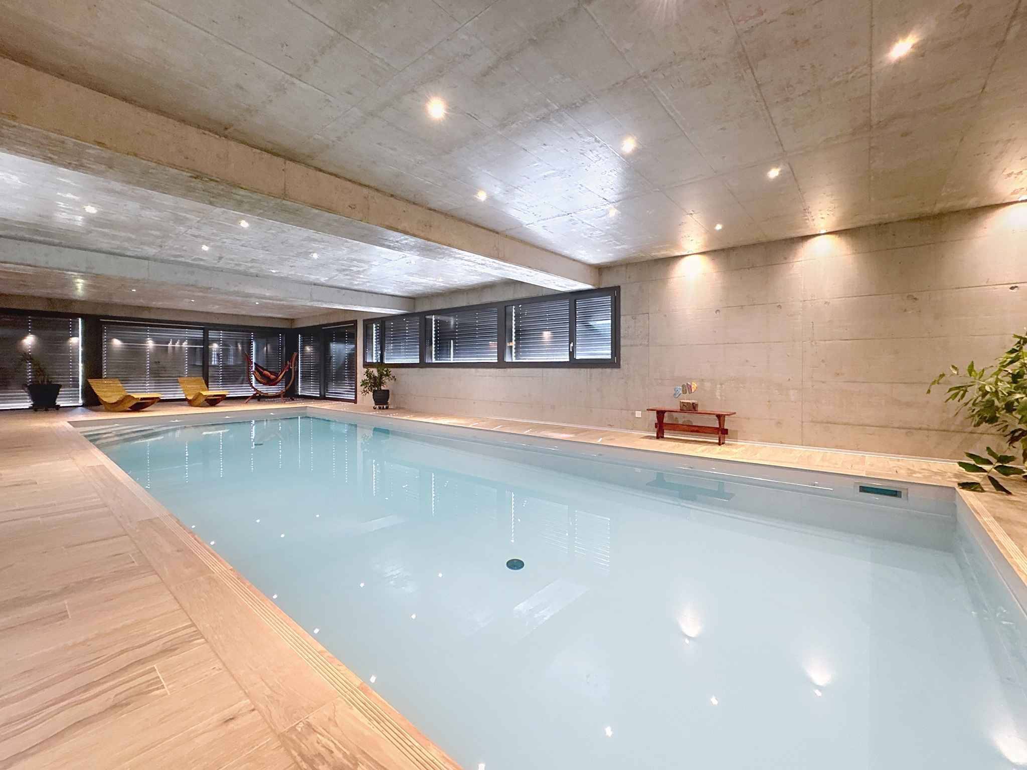
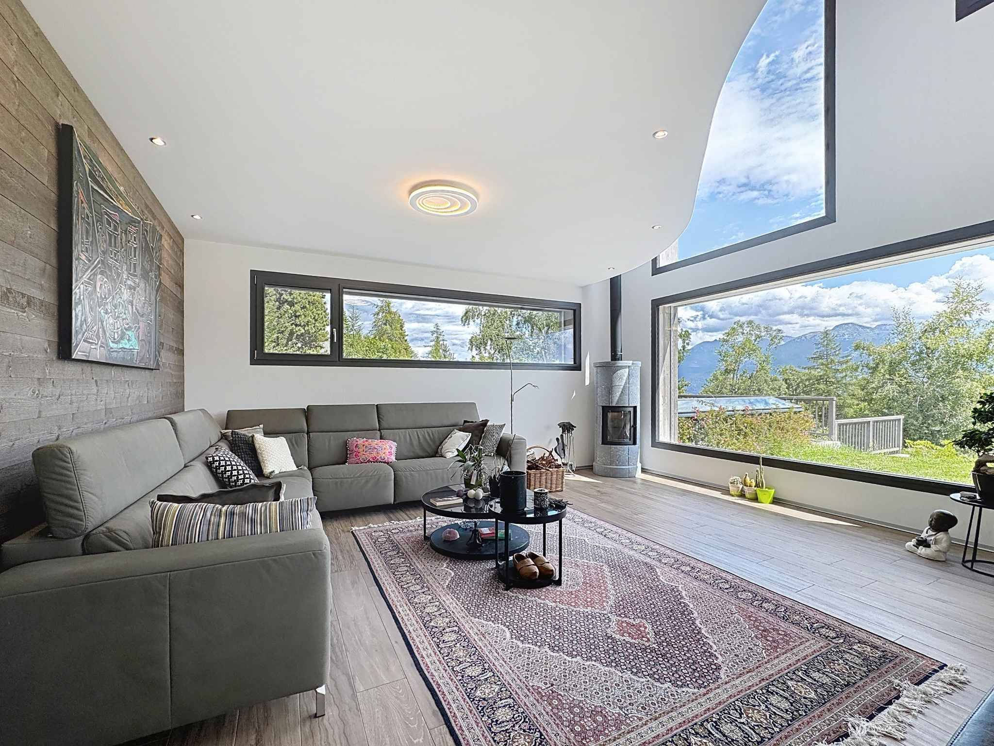
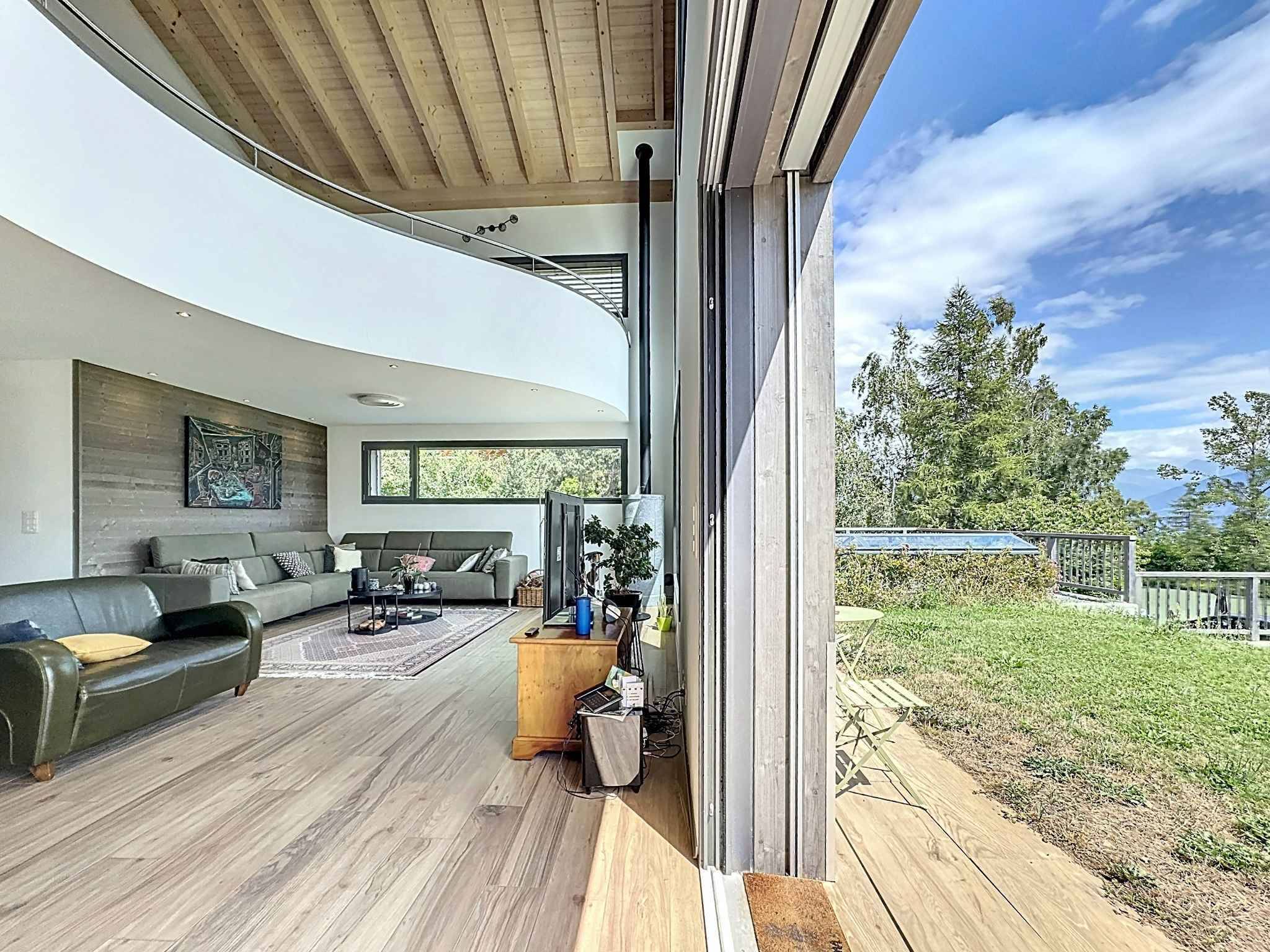
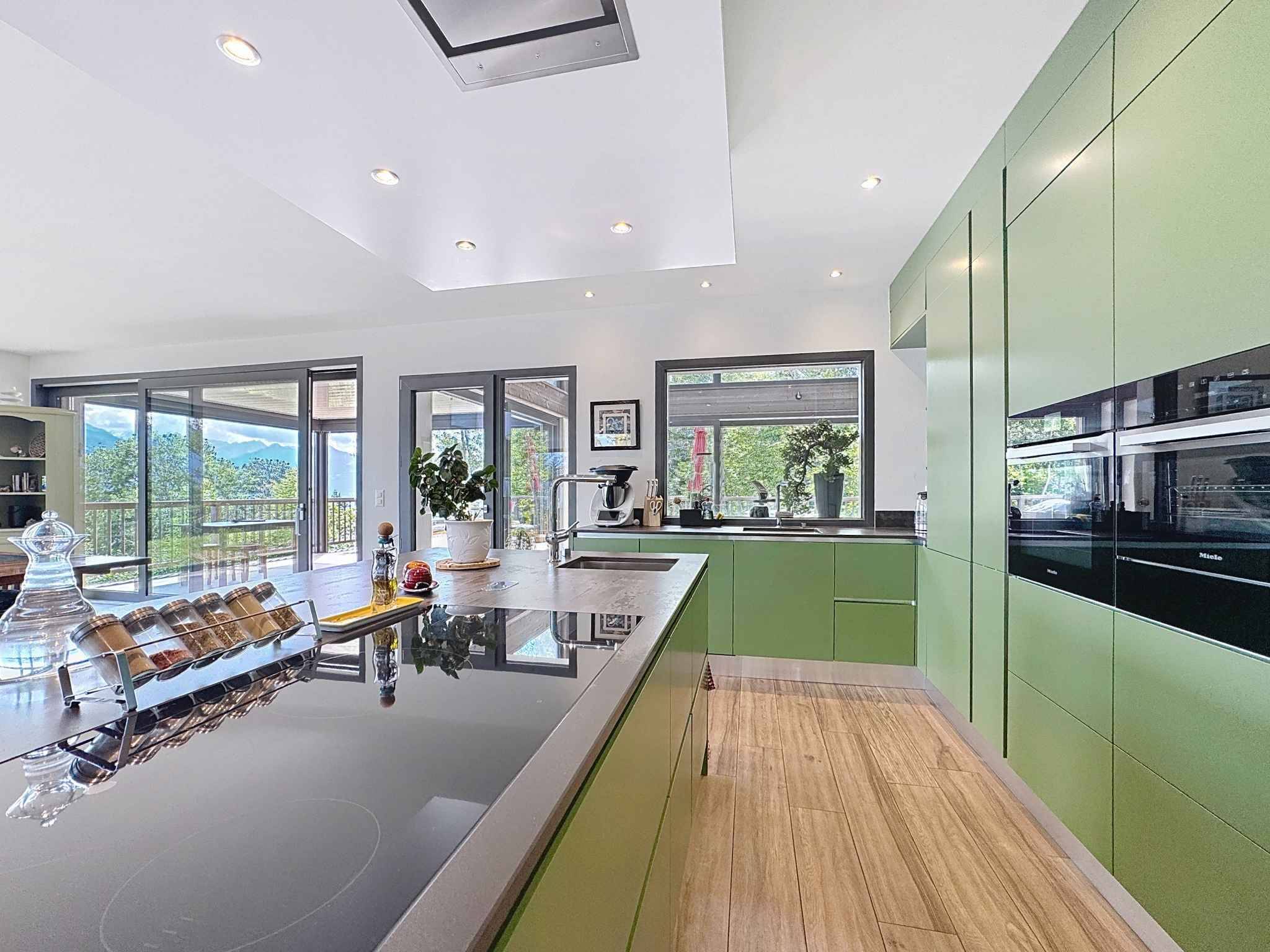
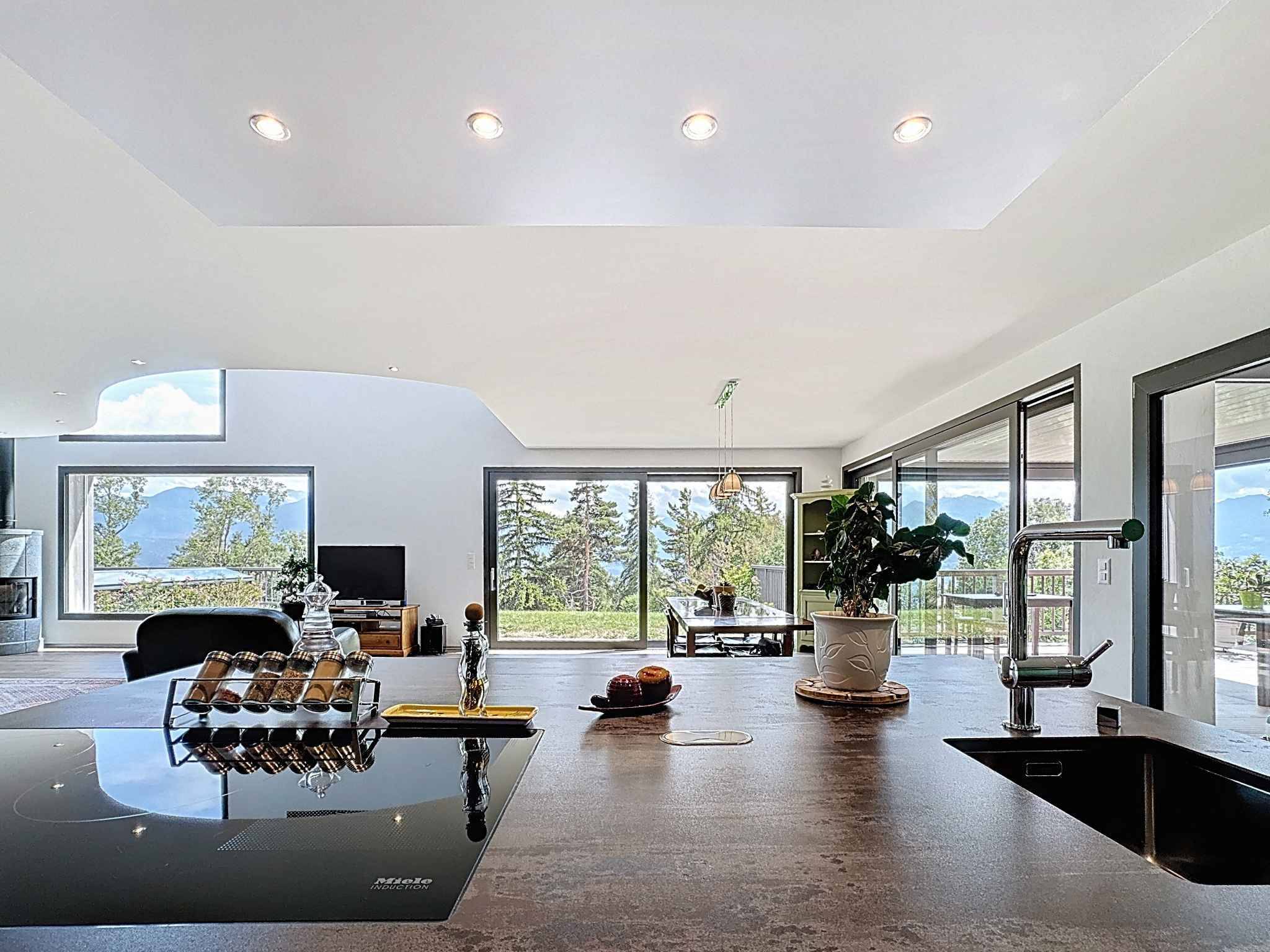
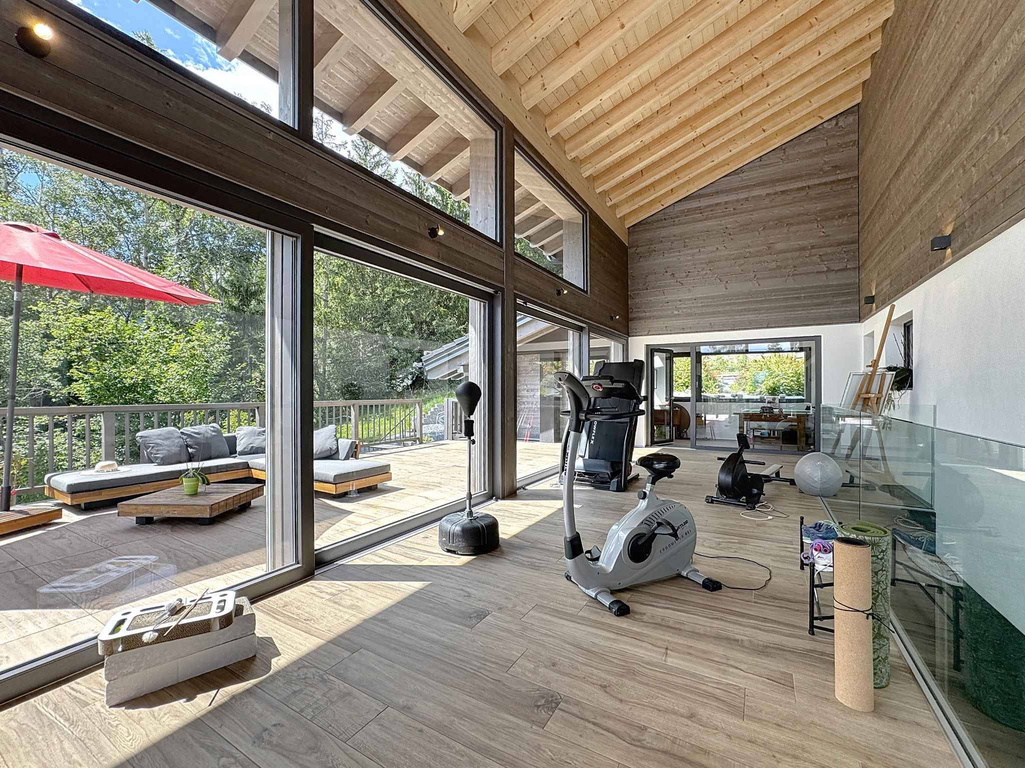
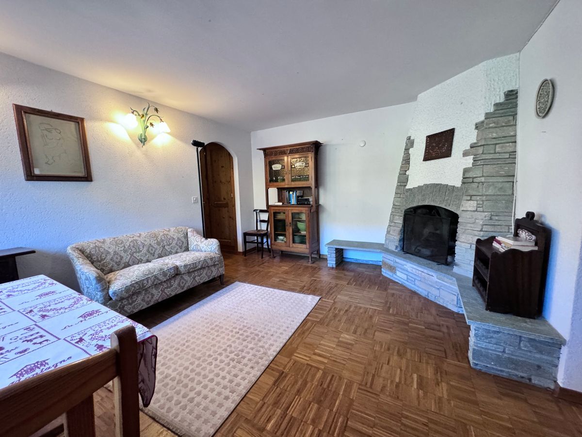
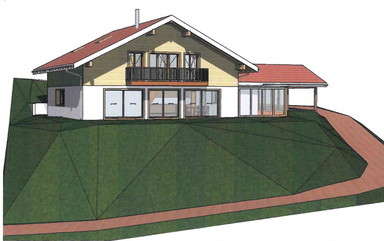
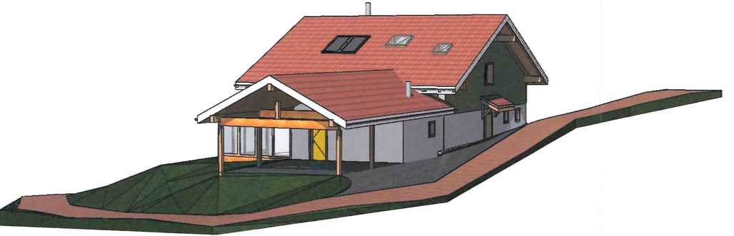
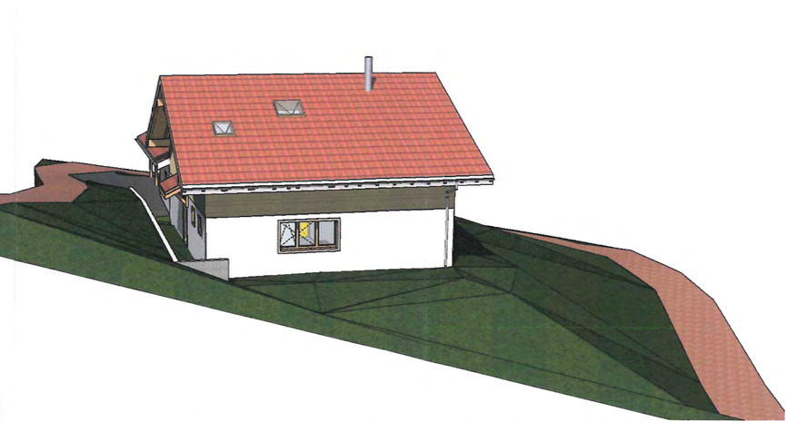
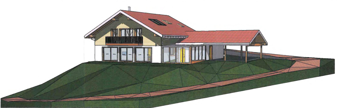
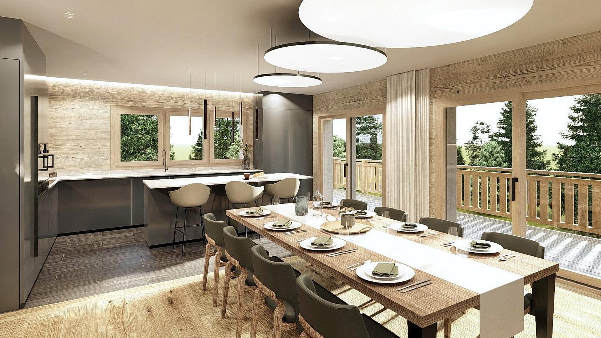
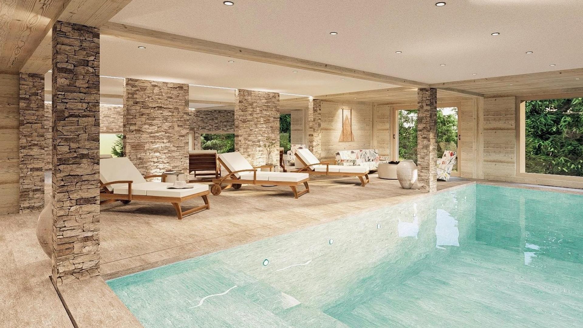
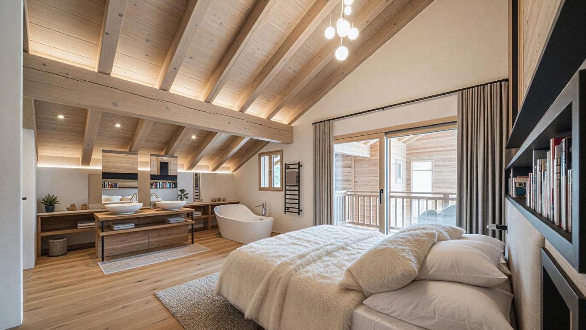
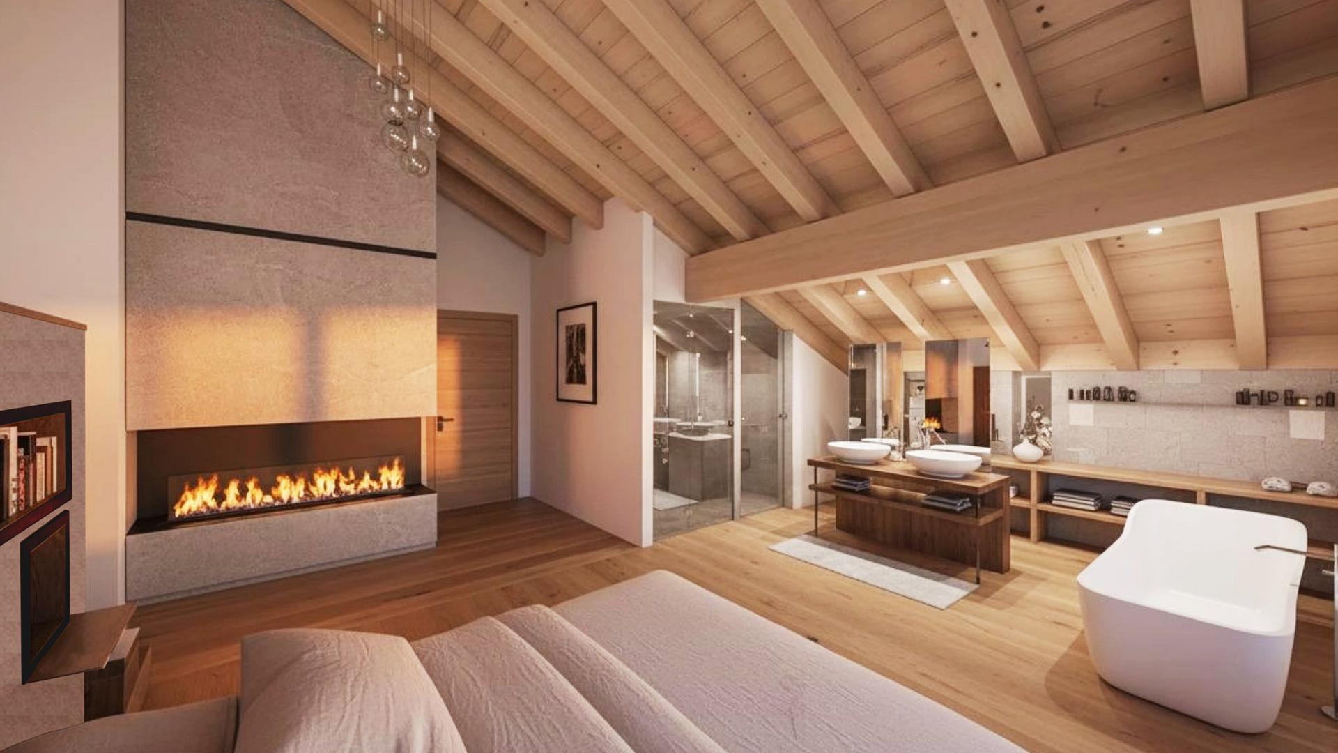
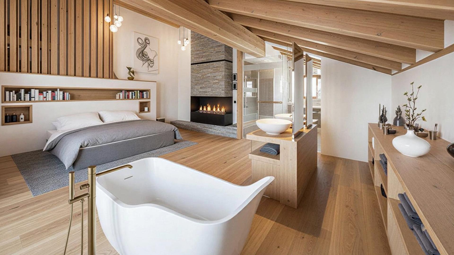
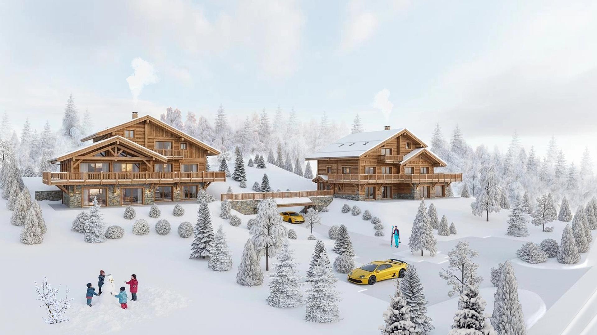
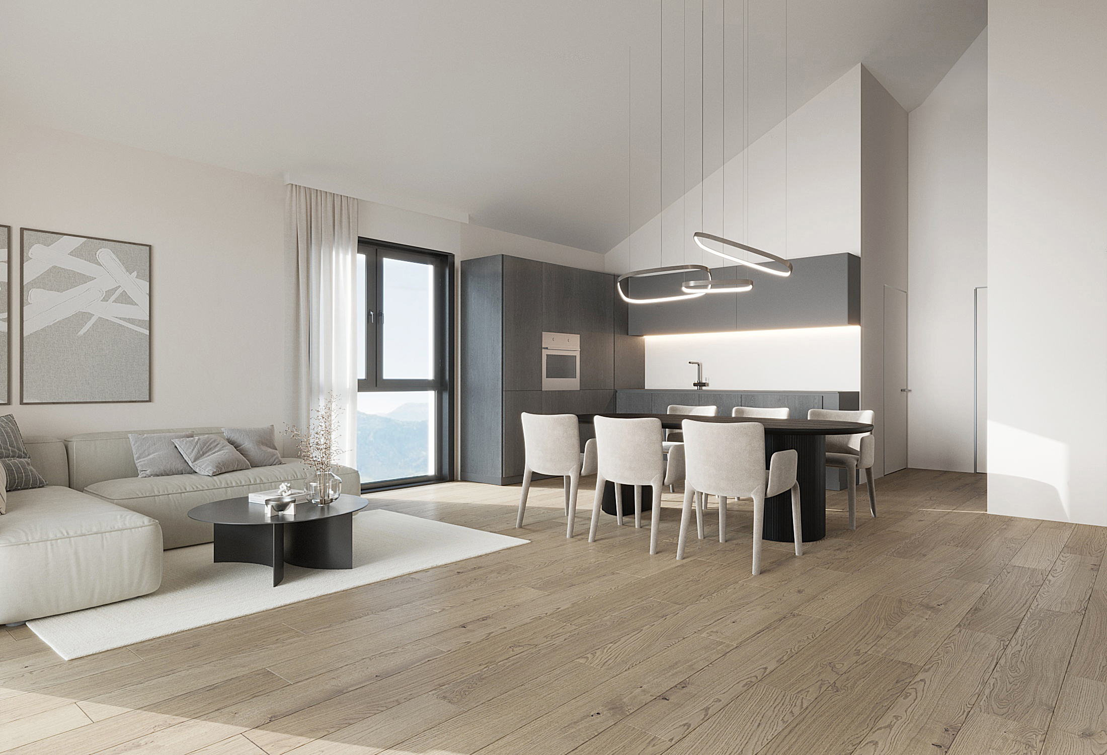
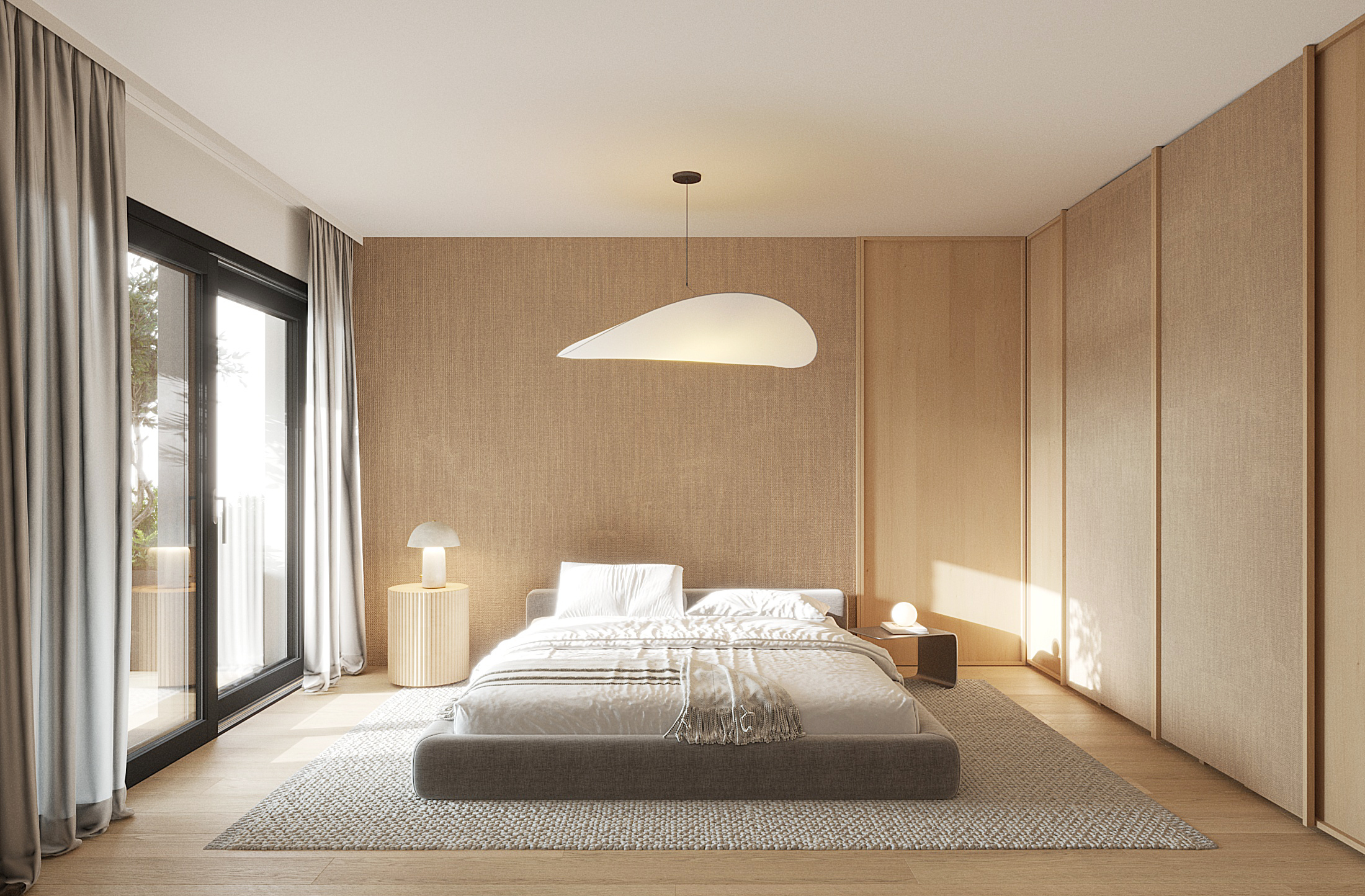
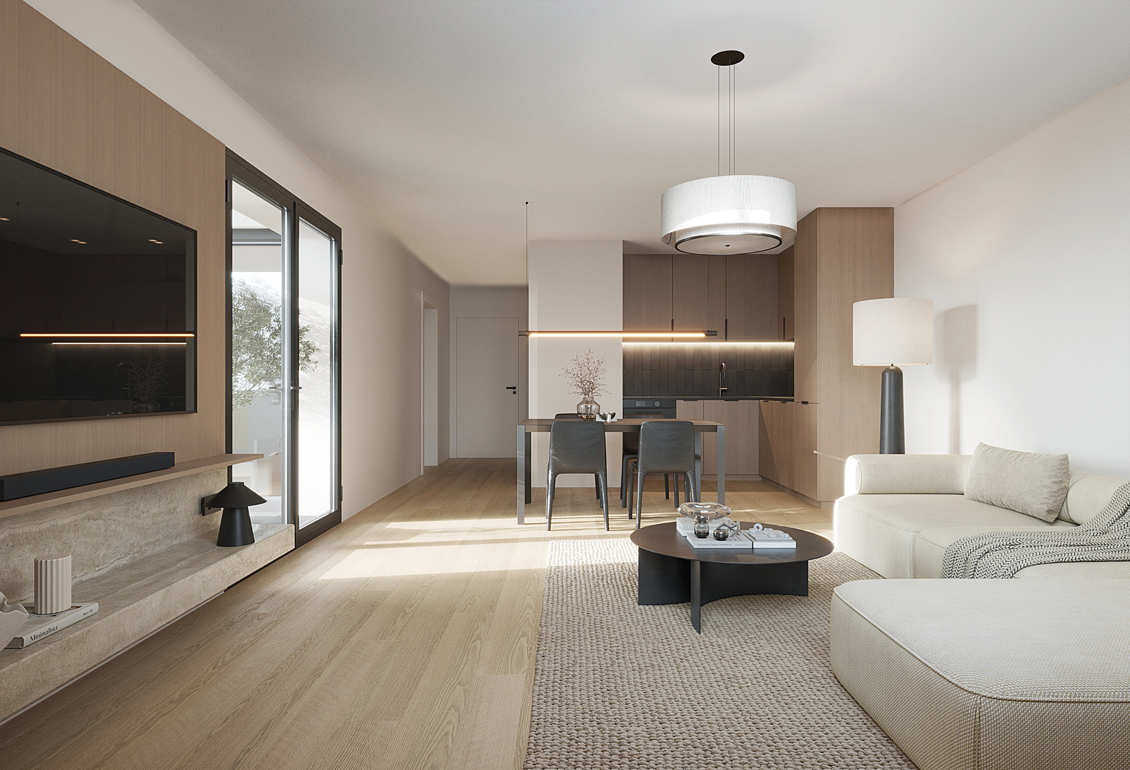
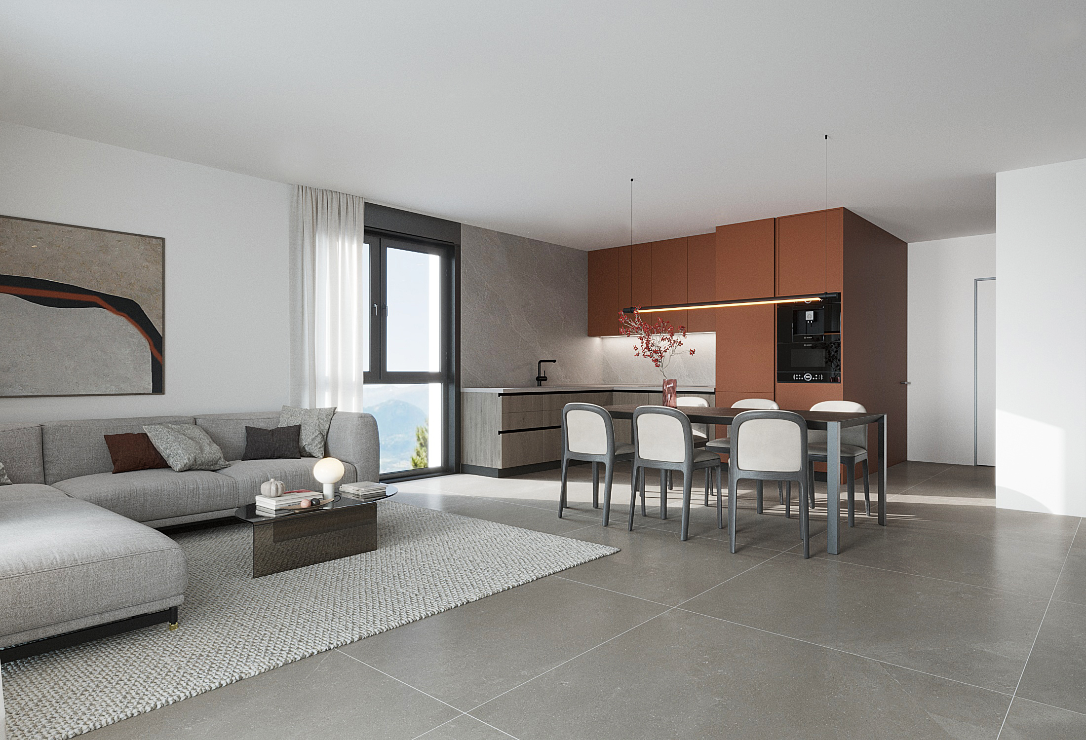
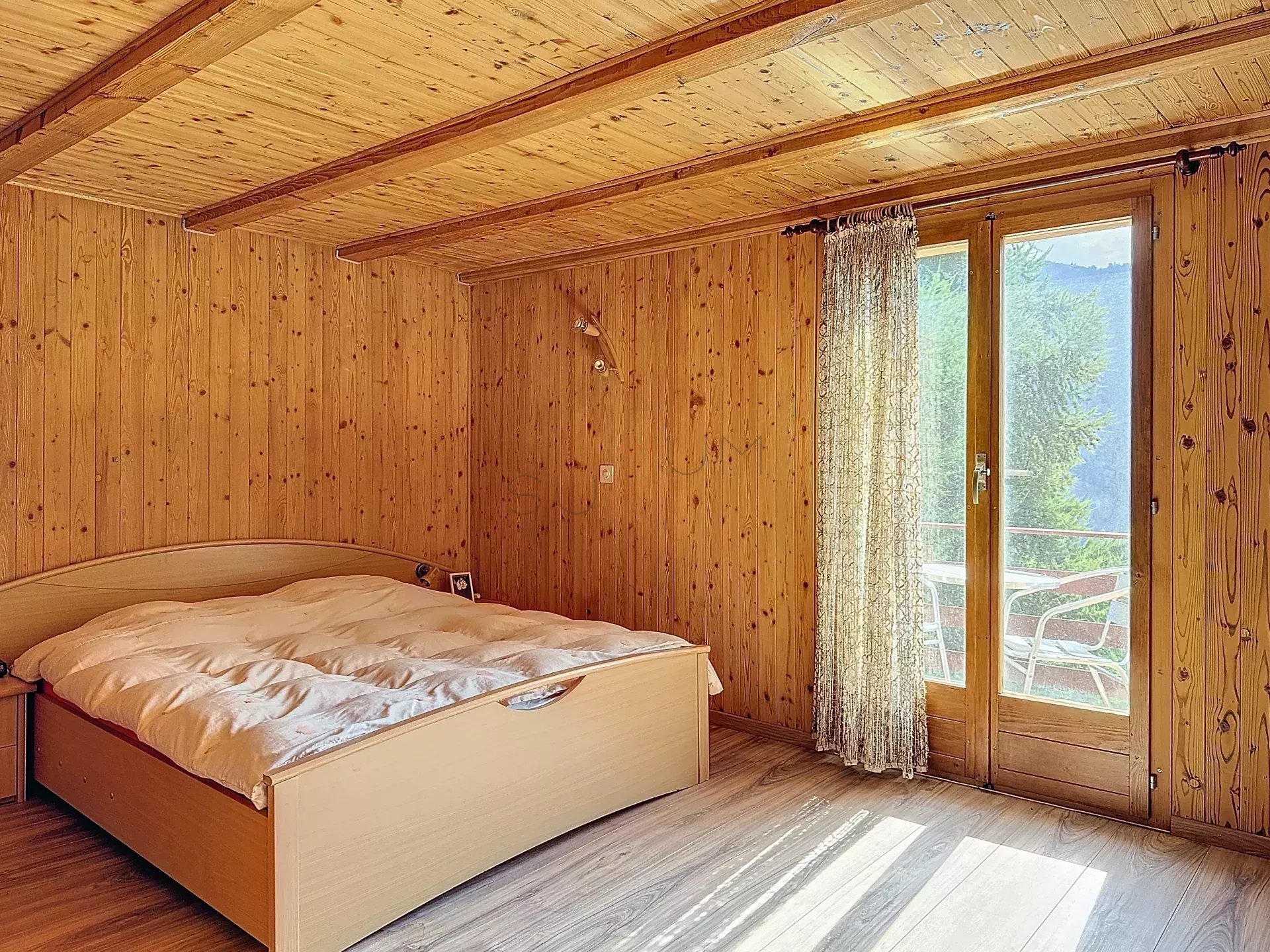
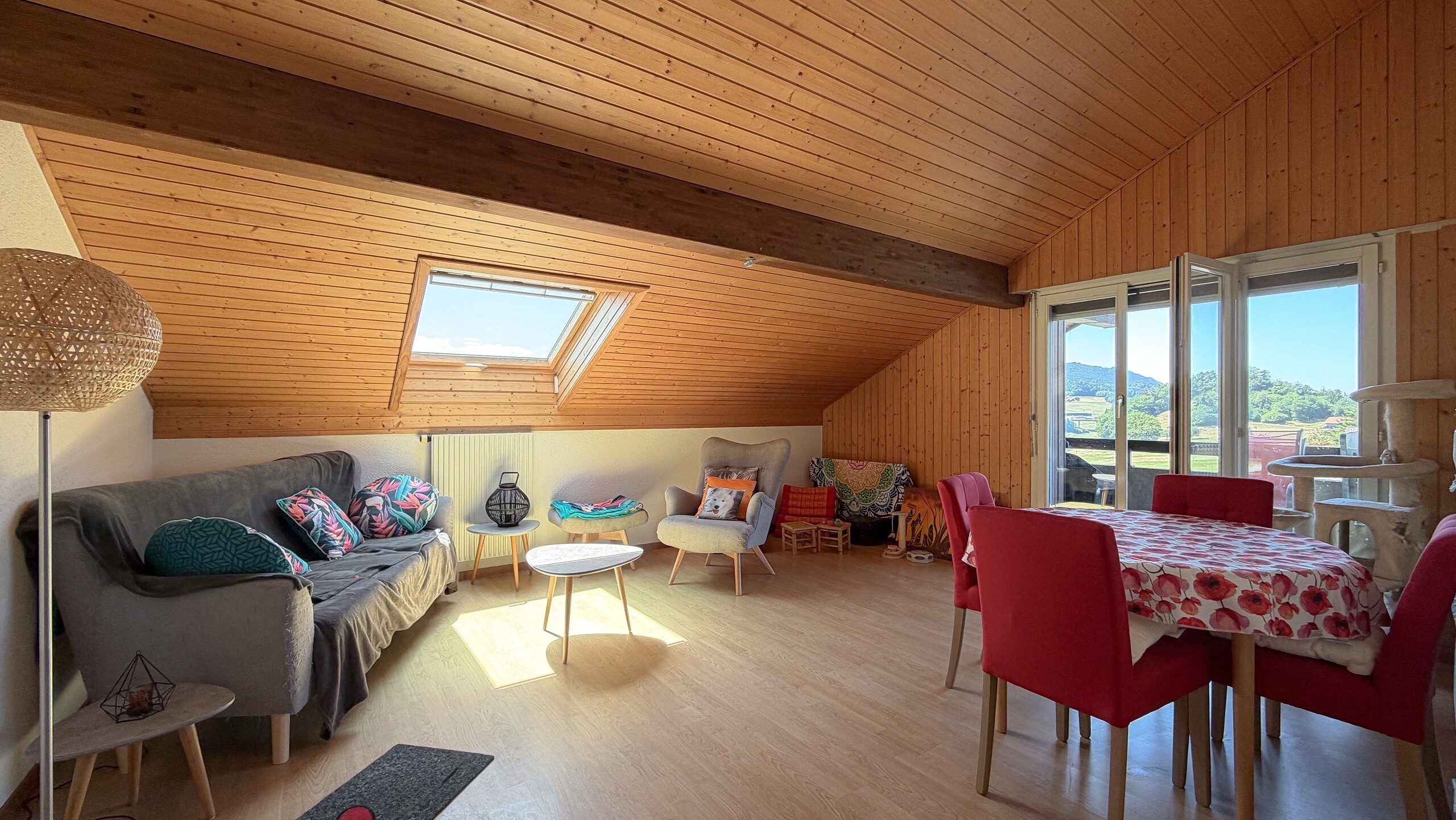
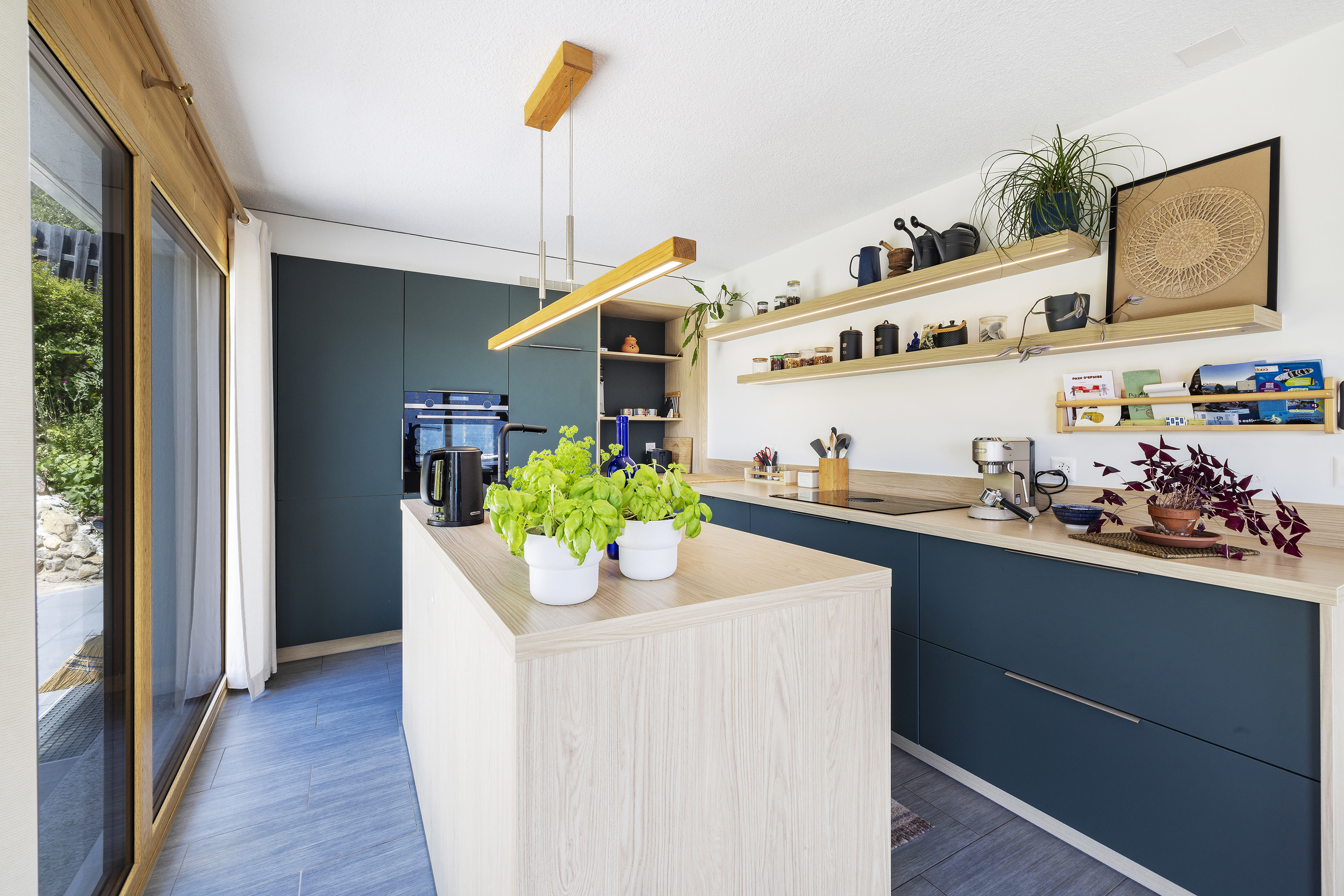
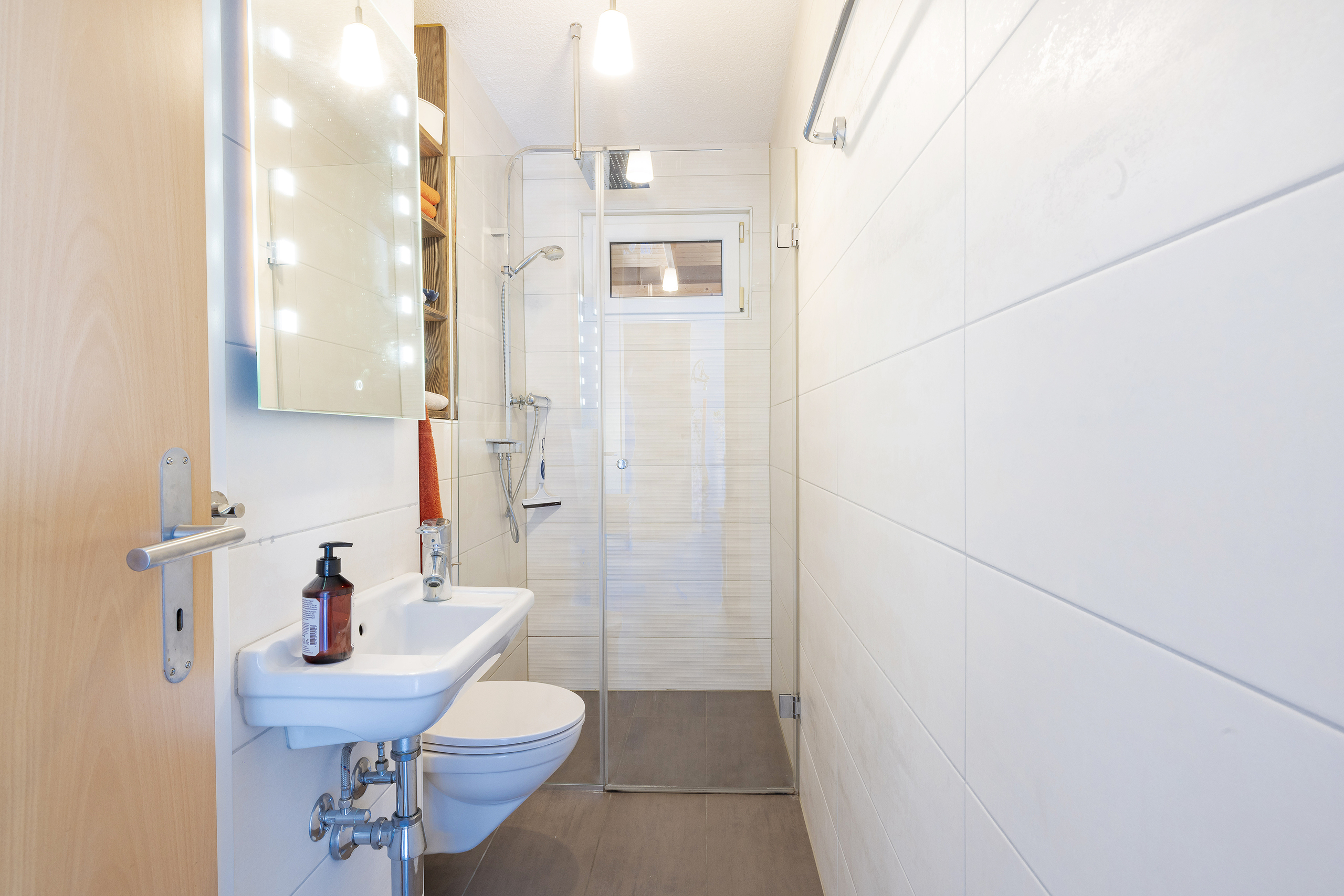
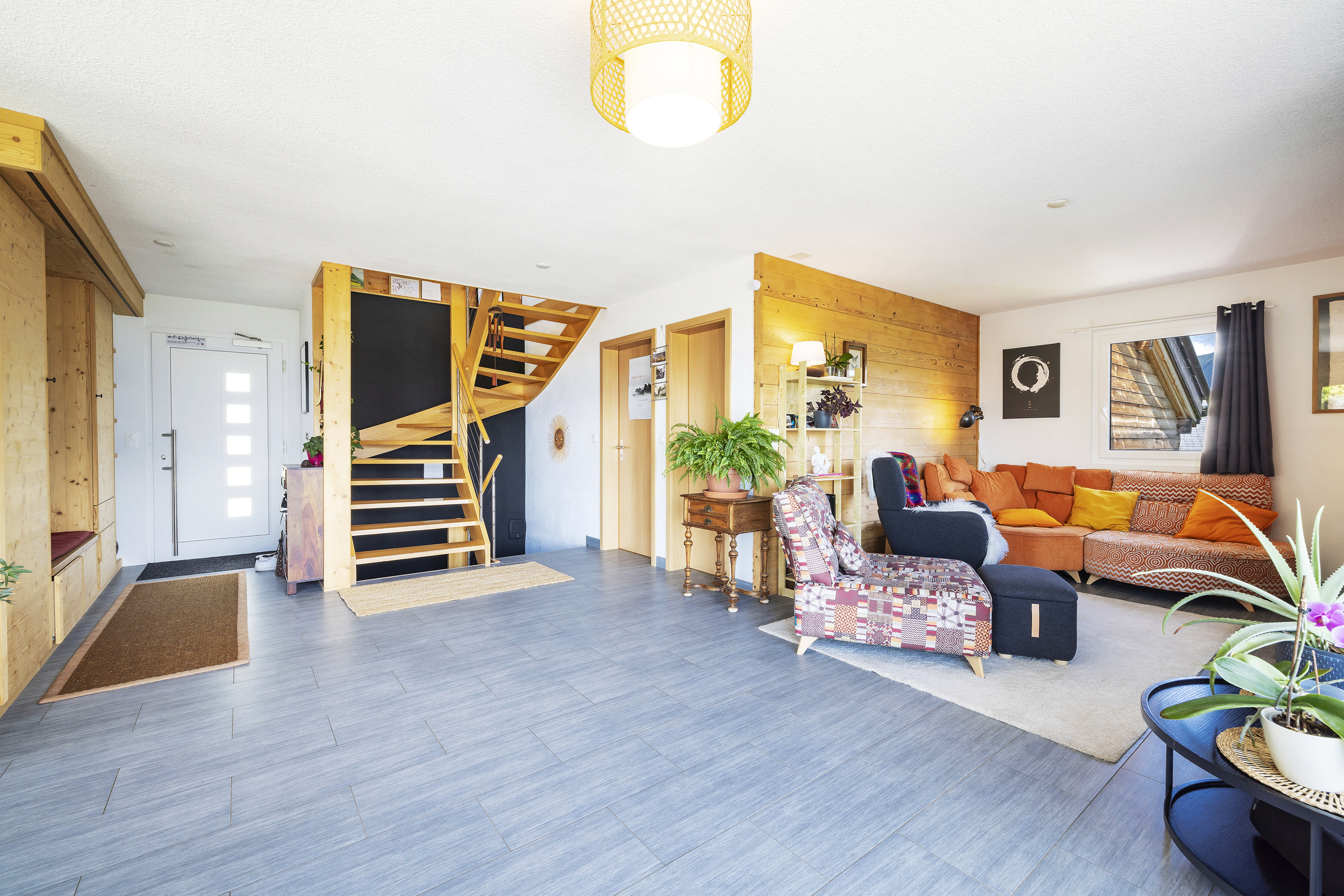
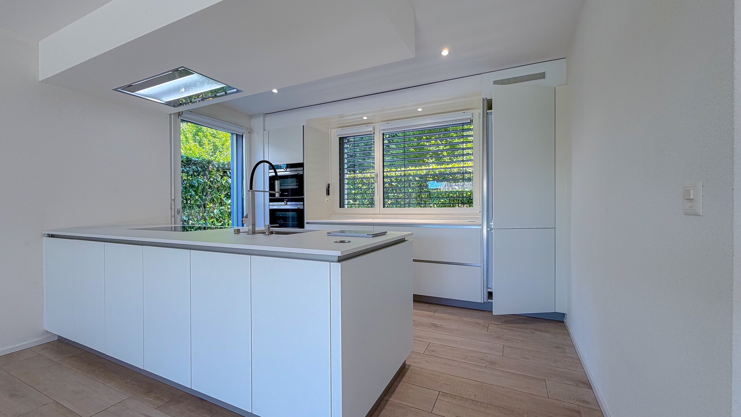
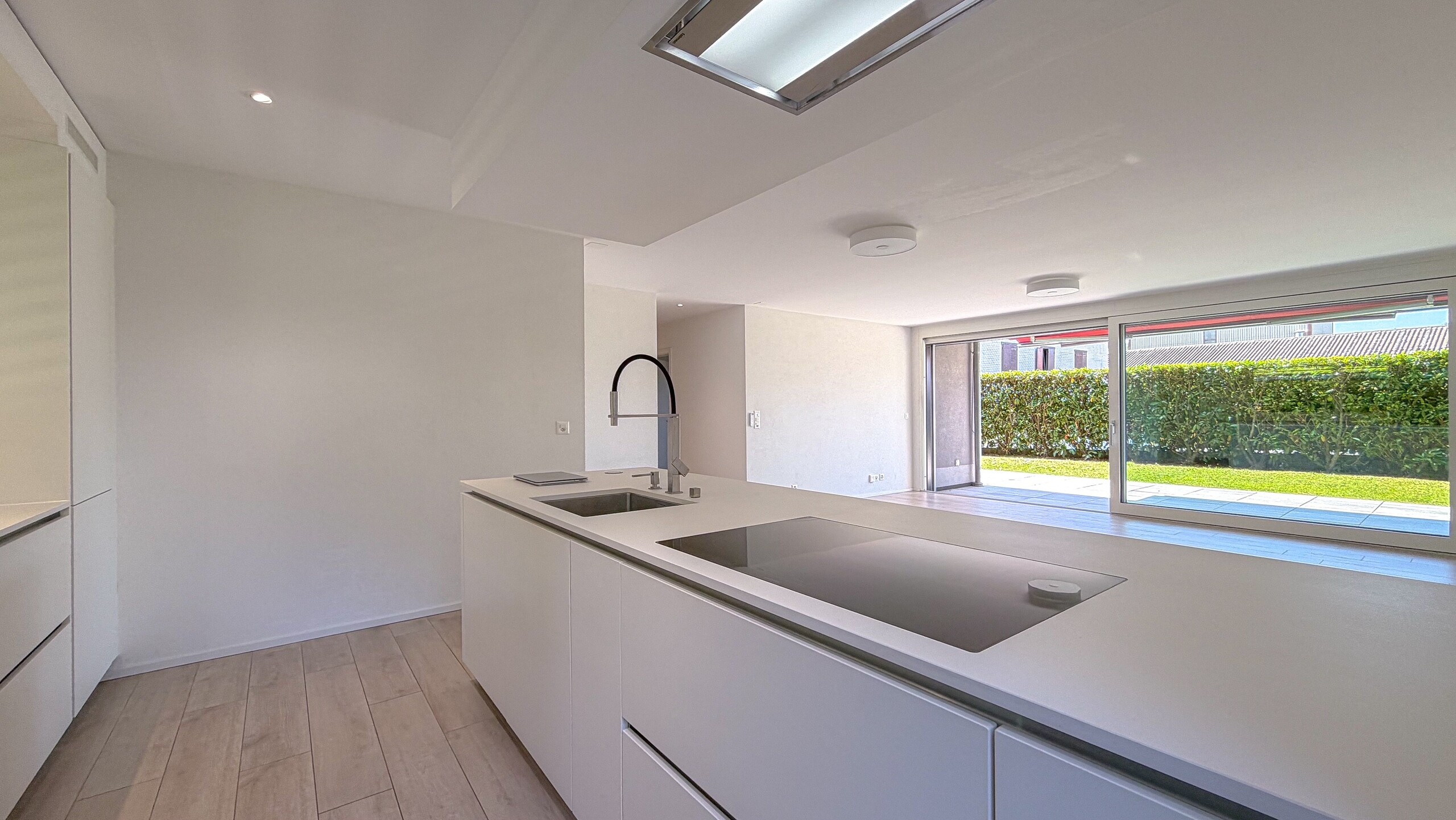
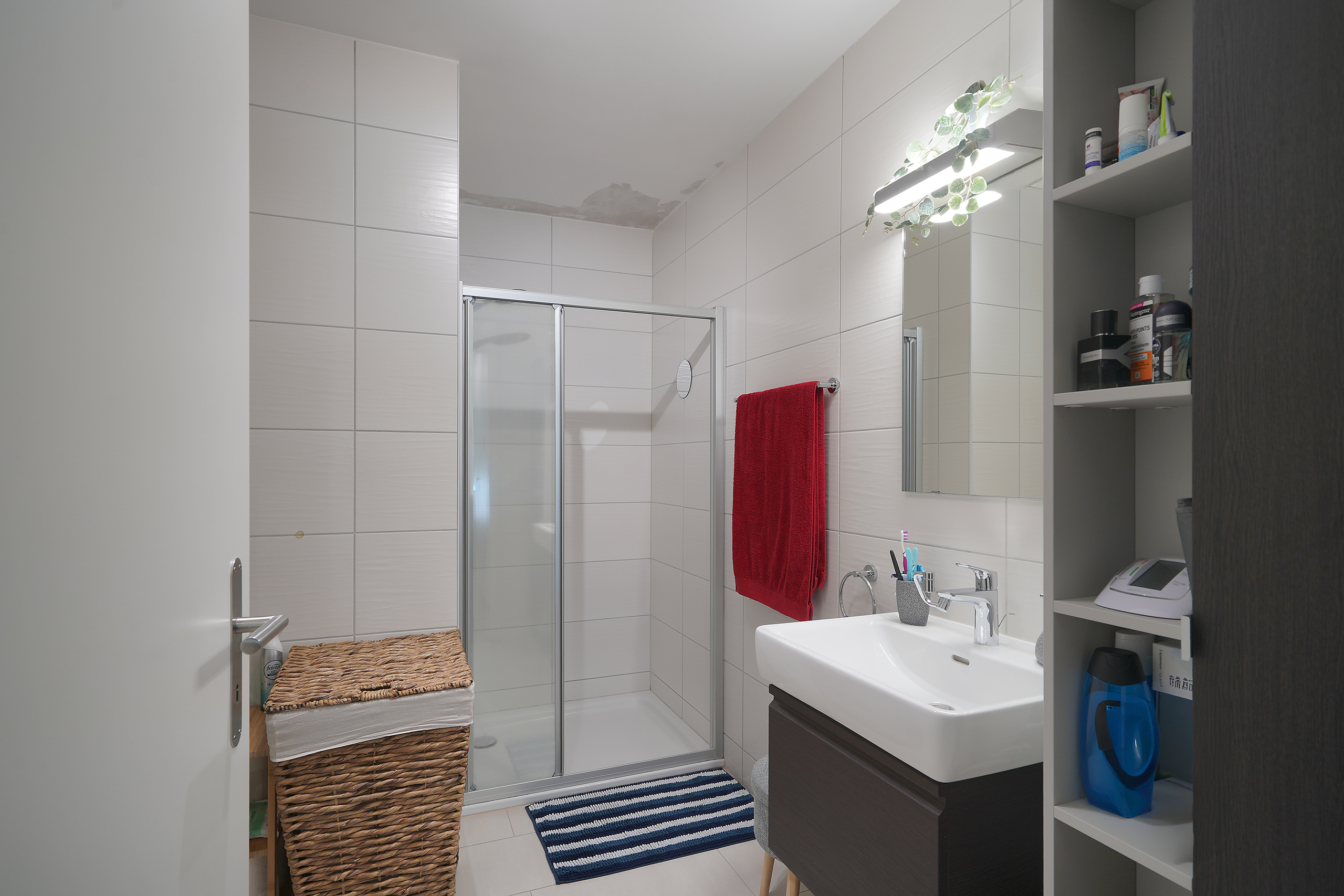
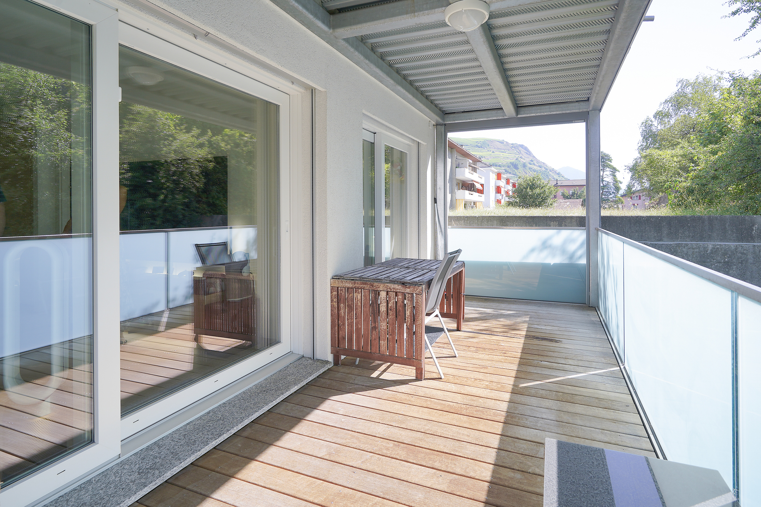
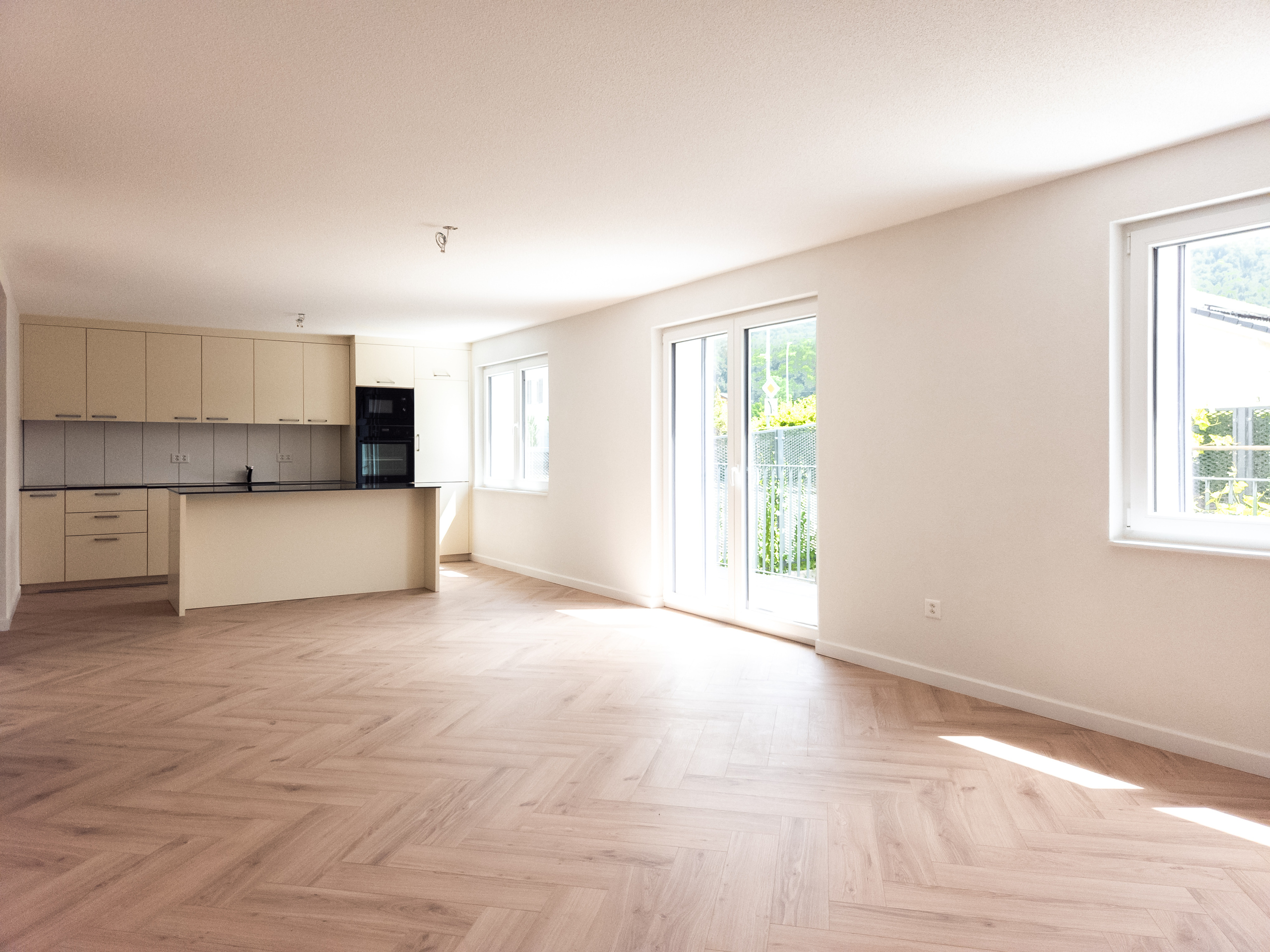
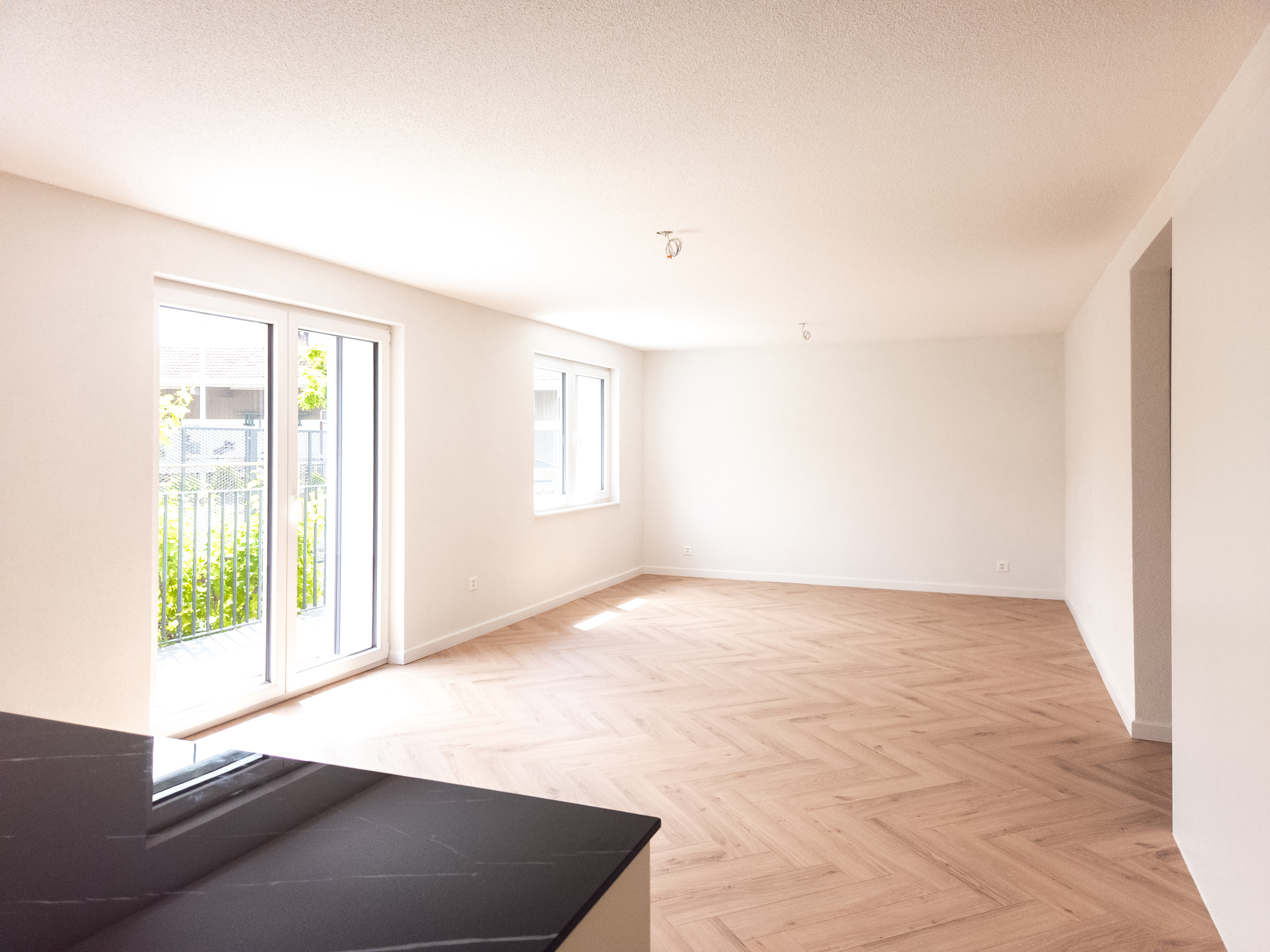
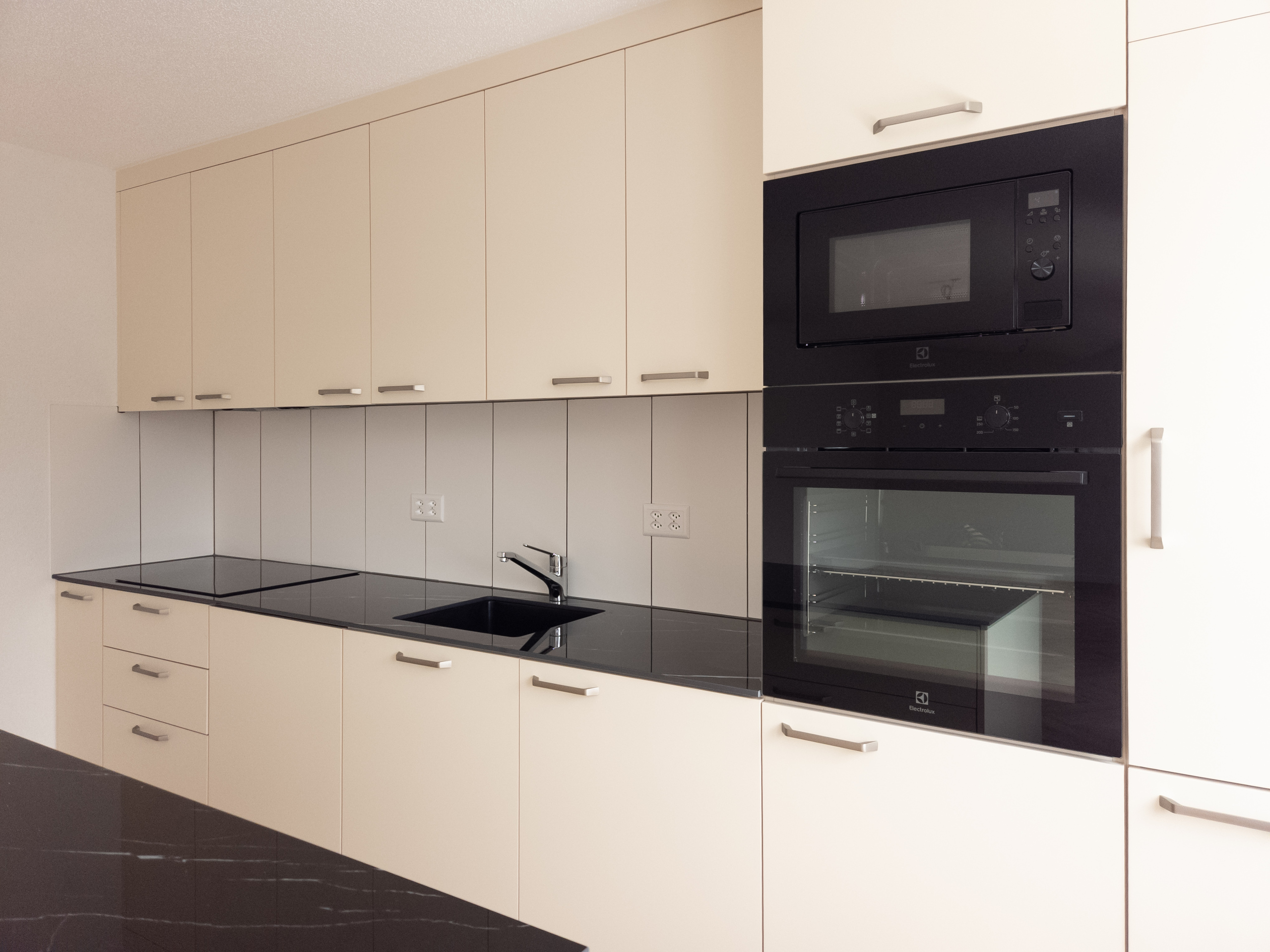
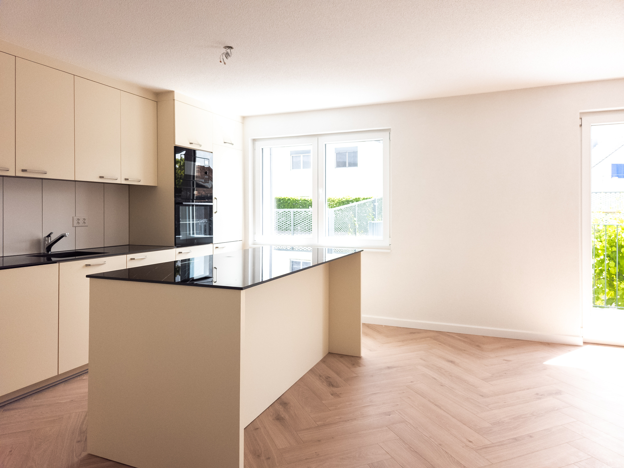
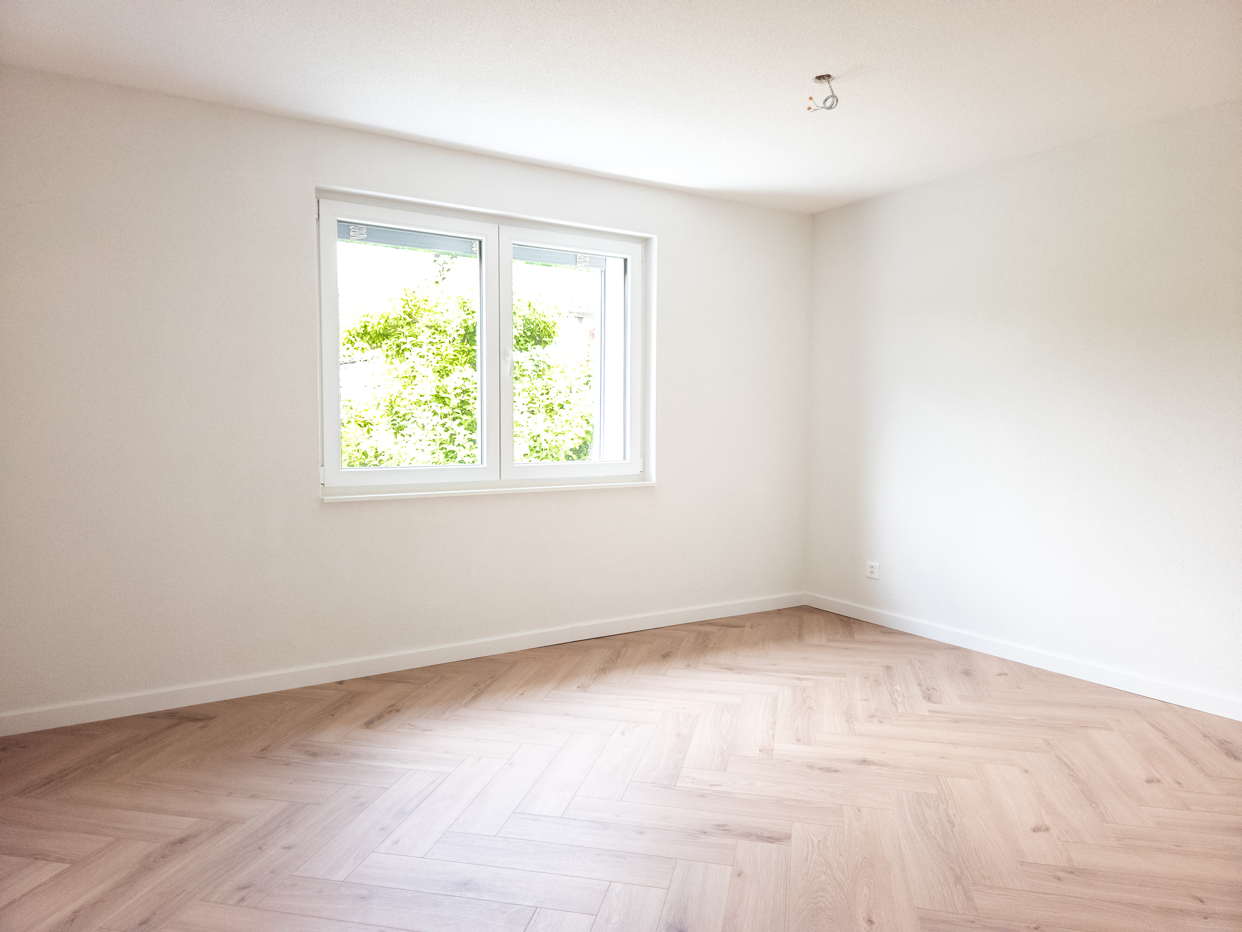
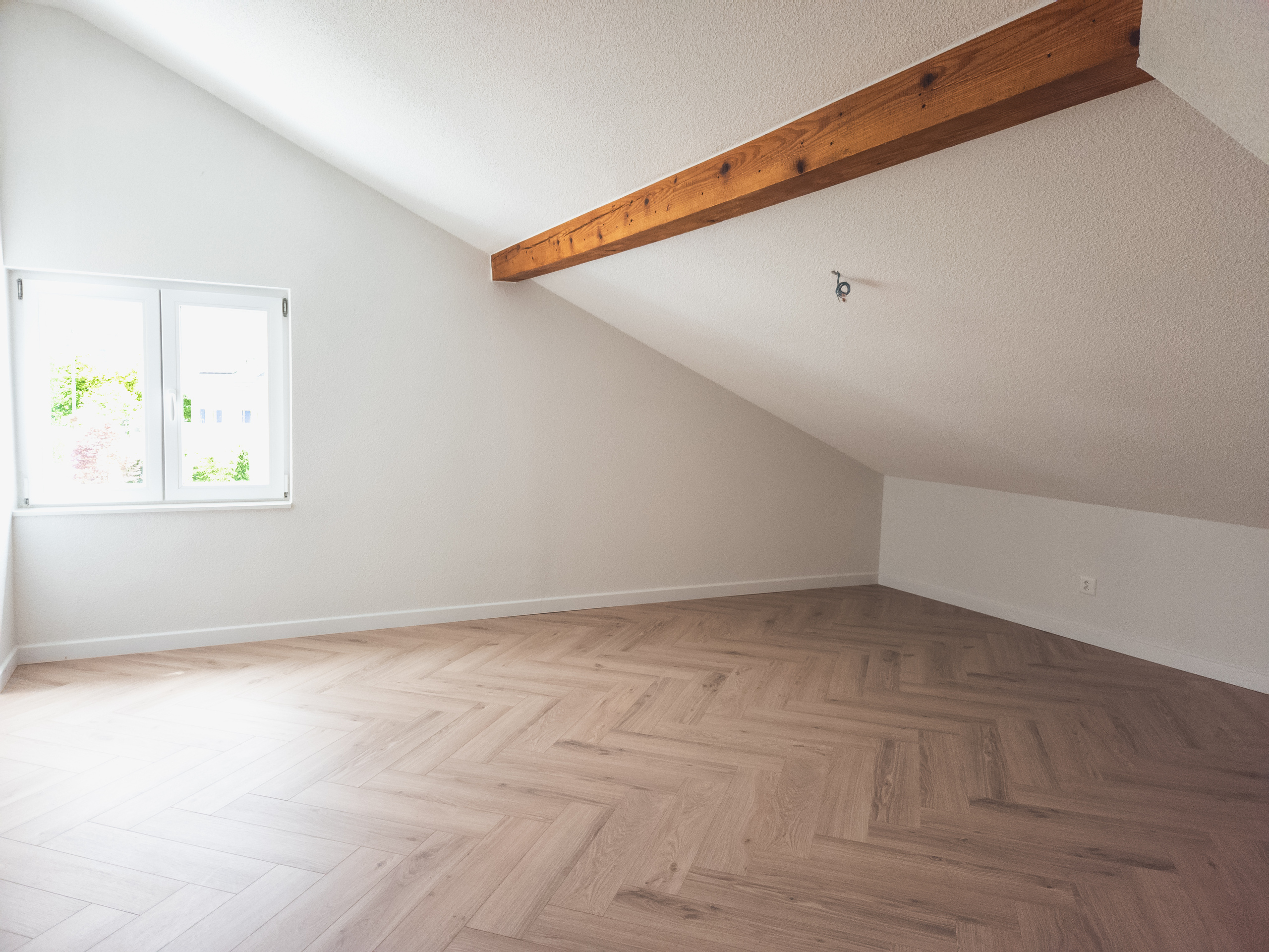
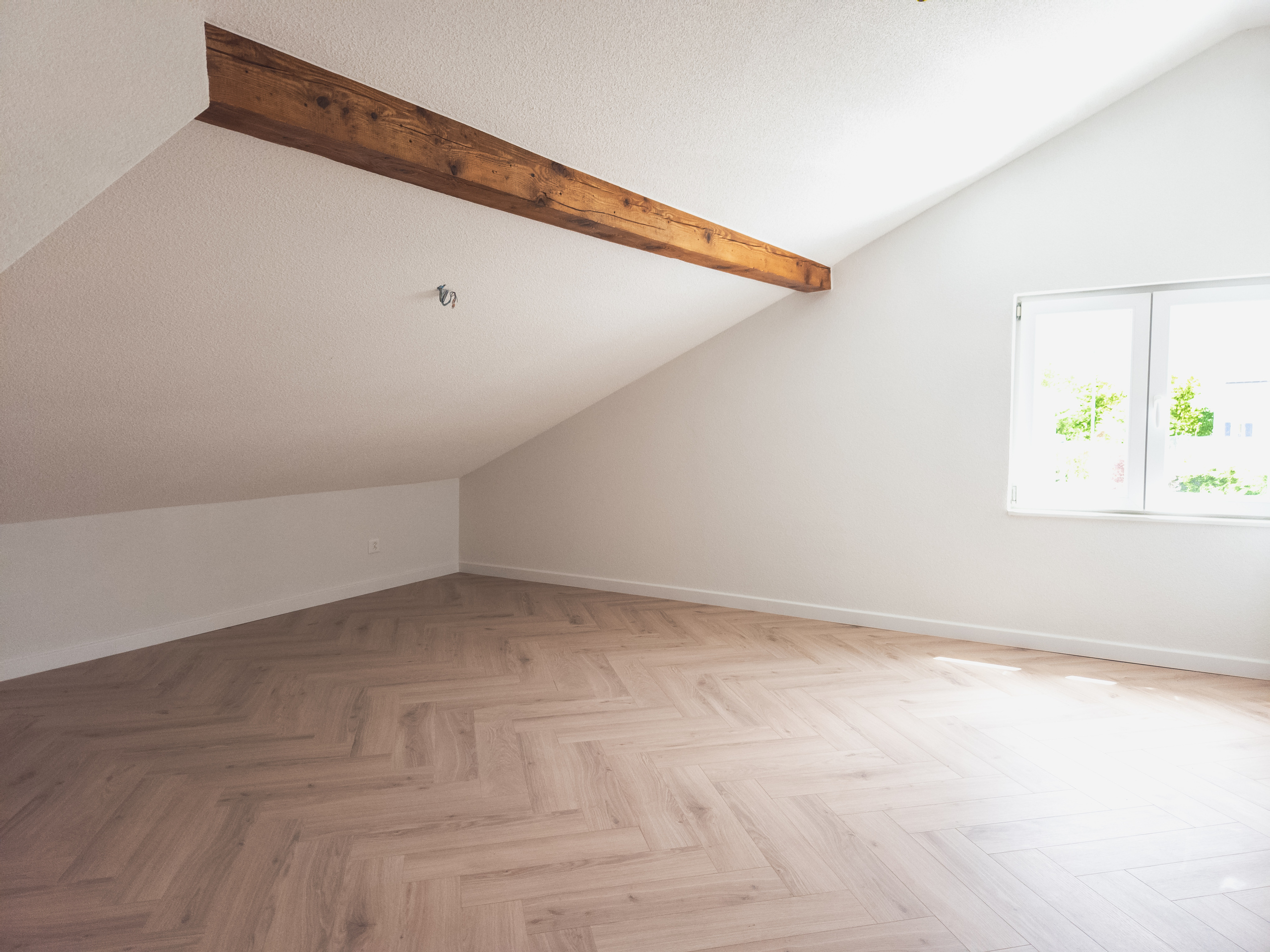
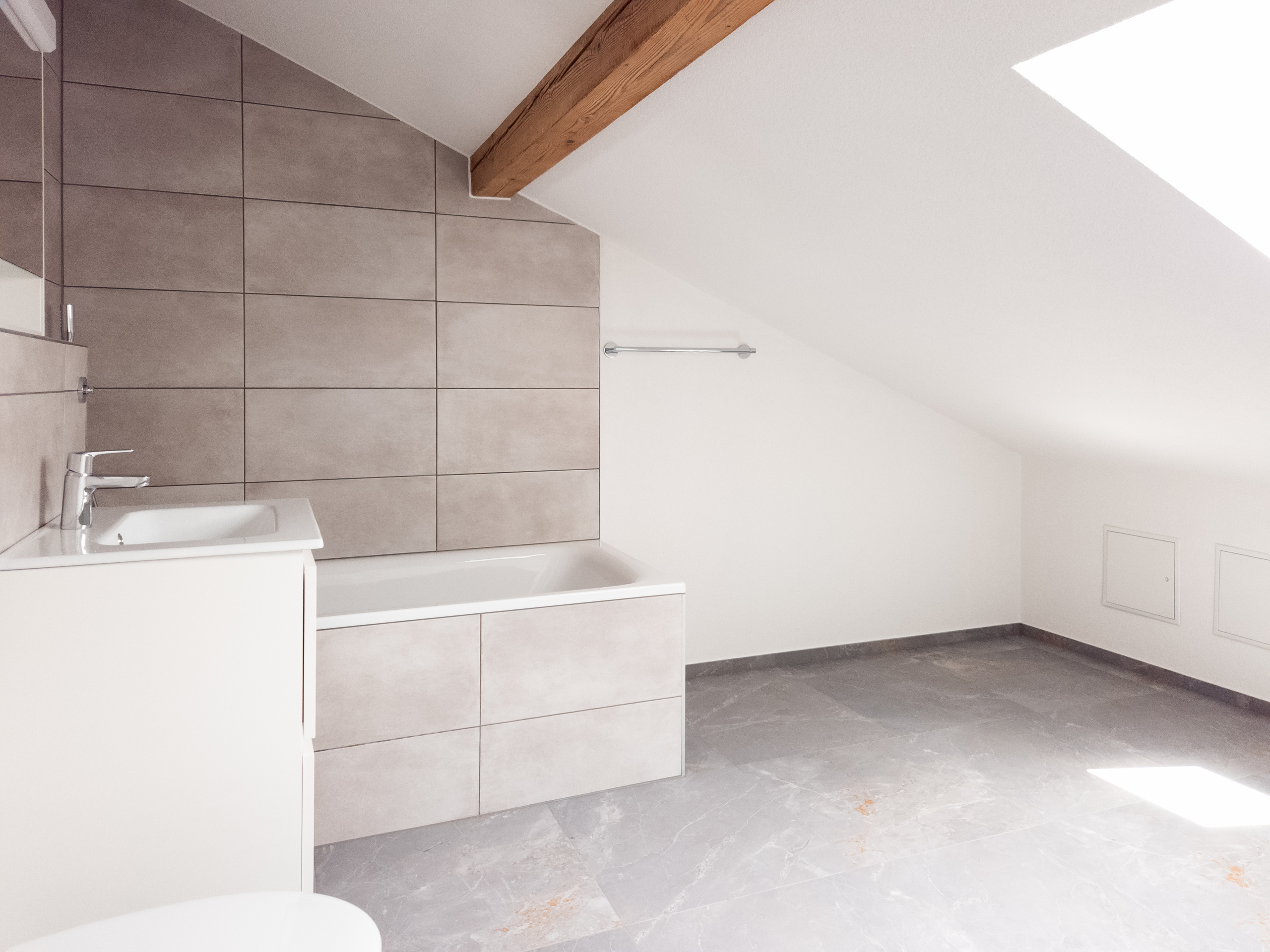
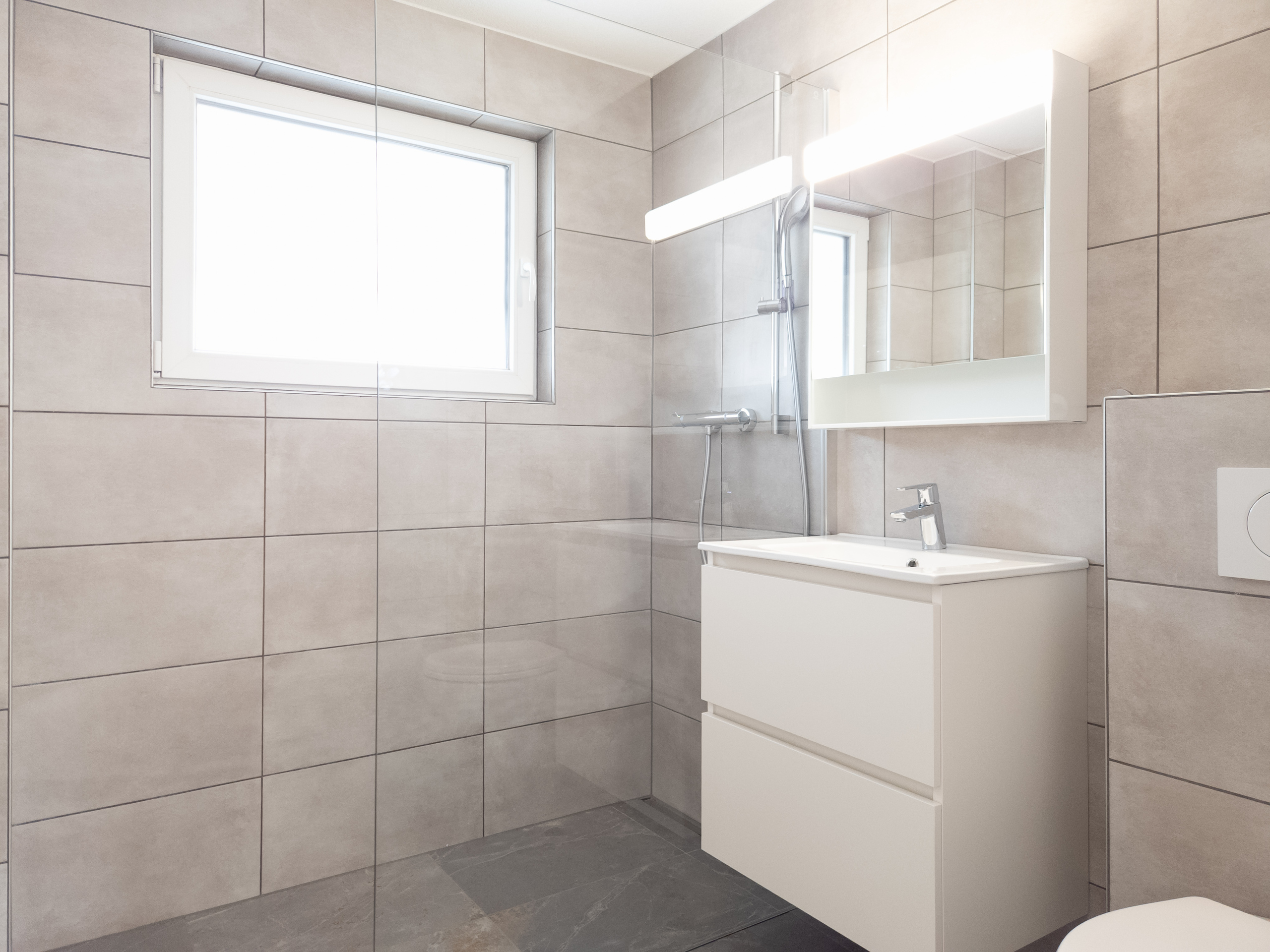
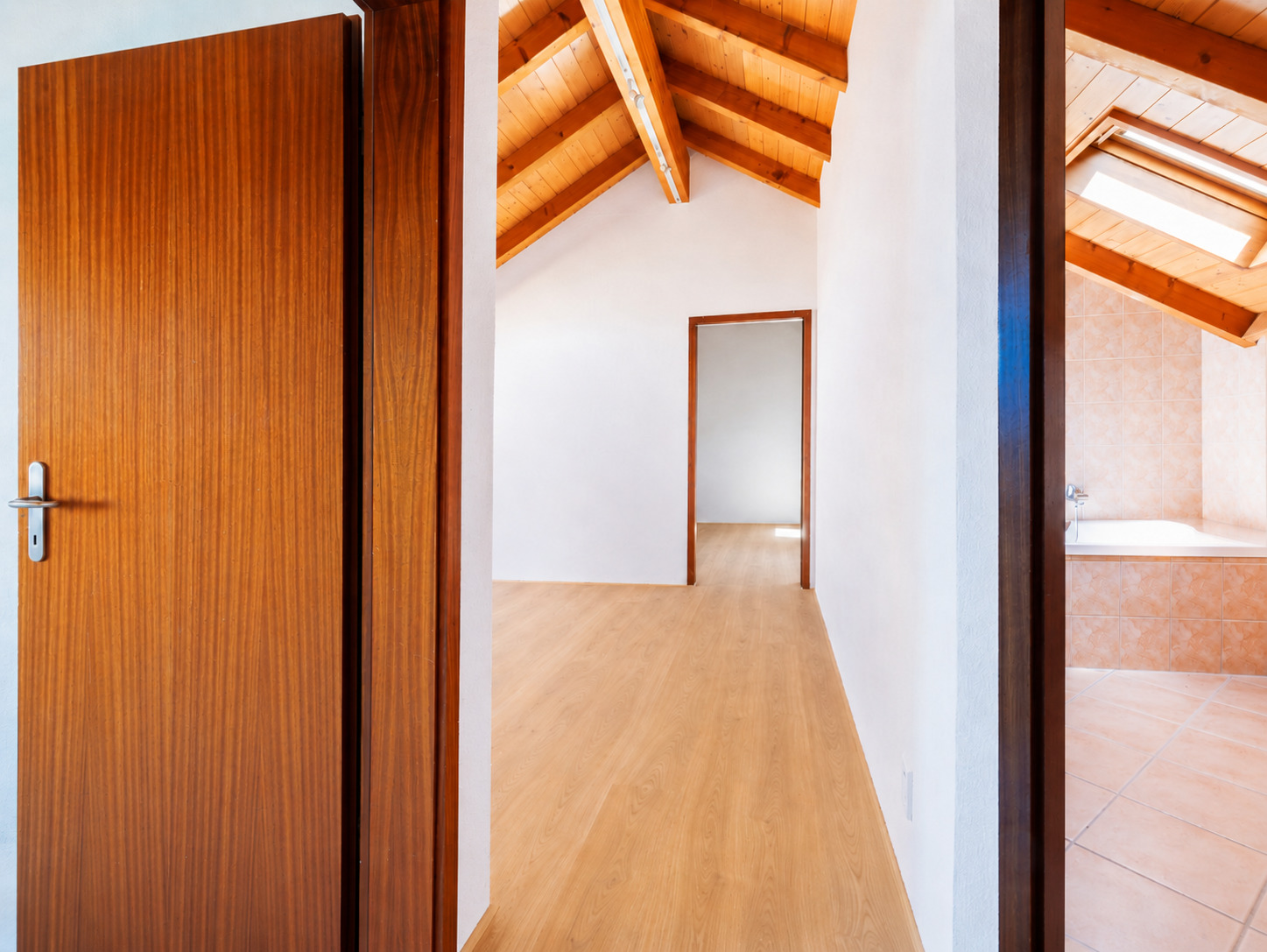
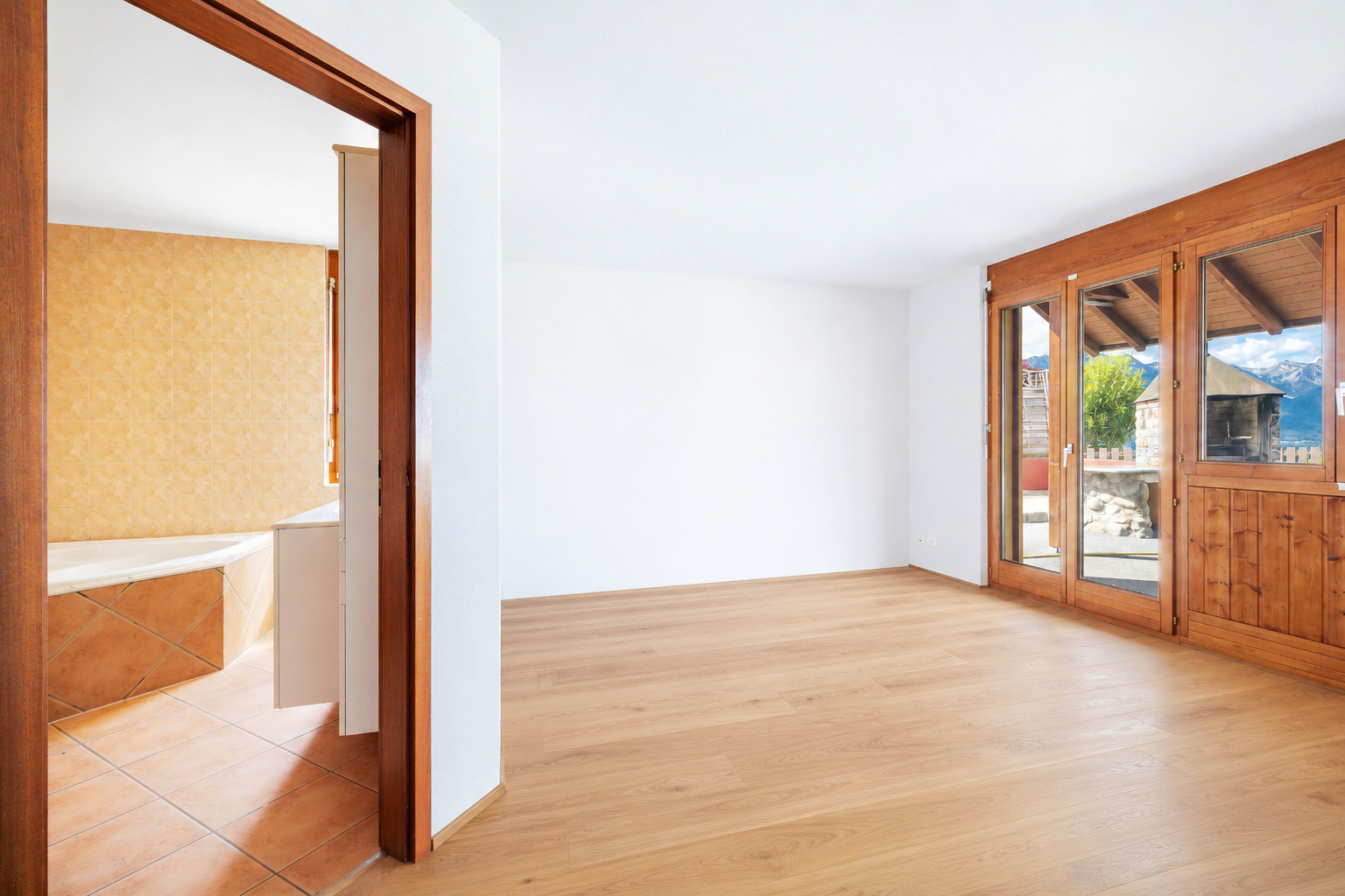
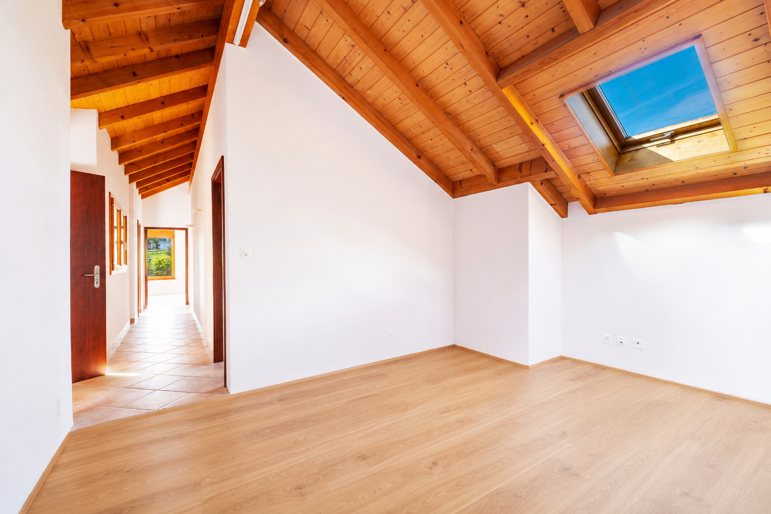
Construction project available.
A chalet, for primary residence, can be built on this land; it has a servitude along the side of the neighborhood road for the creation of 5 parking spaces.
The IBUS coefficient is 0.5.
Sion is only 15 minutes away by car. Public transport is also available; there is a bus stop 300 meters away.
All amenities are just a few minutes away in the village of Arbaz.
Construction project available.
Conveniences
Neighbourhood
- Green
- Mountains
- Residential area
- Shops/Stores
- Bank
- Post office
- Restaurant(s)
- Bus stop
- Primary school
- Ski piste
- Ski resort
- Ski lift
- Hiking trails
Outside conveniences
- Quiet
- Greenery
Floor
- Steep
Orientation
- South
- West
Exposure
- Optimal
- All day
View
- Clear
- Unobstructed
- Panoramic
- Forest
- Mountains
- Alps
Distances
Public transports
520 m
8'
8'
2'
Primary school
536 m
20'
20'
4'
Stores
1.6 km
49'
49'
9'
Cable car
2.26 km
1h11
1h01
7'
Post office
555 m
19'
19'
4'
Bank
1.48 km
49'
41'
9'
Restaurants
391 m
20'
20'
3'